2015-2020年全球山地绿色覆盖指数数据集
收藏地球大数据科学工程2024-04-21 收录
下载链接:
https://data.casearth.cn/sdo/detail/65389b16819aec0f2610f14c
下载链接
链接失效反馈官方服务:
资源简介:
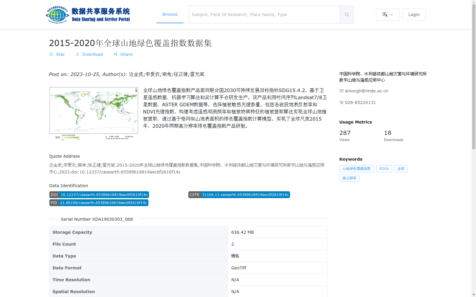
全球山地绿色覆盖指数产品面向联合国2030可持续发展目标指标SDG15.4.2,基于卫星遥感数据、机器学习算法和云计算平台研发生产。该产品利用时间序列Landsat7/8卫星数据、ASTER GDEM数据等,选择植被敏感光谱参量,包括各波段地表反射率和NDVI光谱指数,构建考虑遥感观测频率和植被物候特征的植被提取算法实现全球山地植被提取,通过基于格网和山地表面积的绿色覆盖指数计算模型,实现了全球尺度2015年、2020年两期高分辨率绿色覆盖指数产品研制。
The Global Mountain Green Cover Index product is developed for the UN 2030 Sustainable Development Goal indicator SDG 15.4.2, and was produced based on satellite remote sensing data, machine learning algorithms and cloud computing platforms. This product uses time-series Landsat 7/8 satellite data, ASTER GDEM data and other datasets, selects vegetation-sensitive spectral parameters including surface reflectance of each band and NDVI spectral index, constructs a vegetation extraction algorithm that accounts for remote sensing observation frequency and vegetation phenological characteristics to achieve global mountain vegetation extraction. Through the green cover index calculation model based on grid and mountain surface area, the development of high-resolution global-scale green cover index products for two periods (2015 and 2020) has been completed.
提供机构:
中国科学院、水利部成都山地灾害与环境研究所数字山地与遥感应用中心
搜集汇总
数据集介绍
背景与挑战
背景概述
该数据集是基于卫星遥感和机器学习技术开发的全球山地绿色覆盖指数产品,覆盖2015年和2020年两期数据,支持联合国可持续发展目标SDG15.4.2的实现。数据集具有高分辨率和全球覆盖的特点,适用于山地植被监测和变化分析。
以上内容由遇见数据集搜集并总结生成


