ODYSSEA Global Sea Surface Temperature Gridded Level 4 Daily Analysis
收藏资源简介:
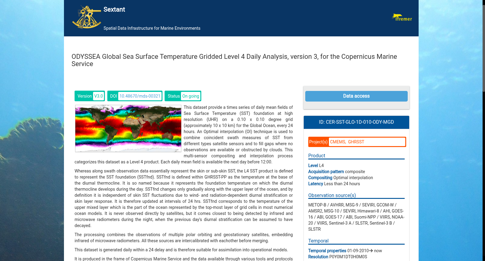
This dataset provide a times series of daily mean fields of Sea Surface Temperature (SST) foundation at high resolution (UHR) on a 0.10 x 0.10 degree grid (approximately 10 x 10 km) for the Global Ocean, every 24 hours. An Optimal interpolation (OI) technique is used to combine coincident swath measures of SST from different types satellite sensors and to fill gaps where no observations are available or obstructed by clouds. This multi-sensor compositing and interpolation process categorizes this dataset as a Level 4 product. Each daily mean field is available the next day before 12:00. Whereas along swath observation data essentially represent the skin or sub-skin SST, the L4 SST product is defined to represent the SST foundation (SSTfnd). SSTfnd is defined within GHRSST-PP as the temperature at the base of the diurnal thermocline. It is so named because it represents the foundation temperature on which the diurnal thermocline develops during the day. SSTfnd changes only gradually along with the upper layer of the ocean, and by definition it is independent of skin SST fluctuations due to wind- and radiation-dependent diurnal stratification or skin layer response. It is therefore updated at intervals of 24 hrs. SSTfnd corresponds to the temperature of the upper mixed layer which is the part of the ocean represented by the top-most layer of grid cells in most numerical ocean models. It is never observed directly by satellites, but it comes closest to being detected by infrared and microwave radiometers during the night, when the previous day's diurnal stratification can be assumed to have decayed. The processing combines the observations of multiple polar orbiting and geostationary satellites, embedding infrared of microwave radiometers. All these sources are intercalibrated with eachother before merging. The processing is the same as for the Atlantic Near Real Time (NRT) L4 dataset available on Copernicus Marine Service [SST_ATL_SST_L4_NRT_OBSERVATIONS_010_025 dataset] and users can refer to the user manual and quality documents available there for more details. This dataset was developed in the frame of GMES MyOcean project project.
本数据集提供全球海洋的高分辨率(Ultra High Resolution, UHR)逐日平均海面基础温度(Sea Surface Temperature Foundation, SSTfnd)场时序数据,网格分辨率为0.10°×0.10°(约10km×10km),更新周期为每24小时一次。本数据集采用最优插值(Optimal Interpolation, OI)技术,融合多类卫星传感器获取的同步海温条带观测数据,并填补无观测或受云遮挡区域的空白。该多传感器合成与插值处理流程将本数据集归类为四级(Level 4)产品。每份逐日平均温度场将于次日12:00前发布。与条带观测数据本质上代表表皮或亚表皮海温不同,本四级海温产品被定义为海面基础温度(SSTfnd)。SSTfnd在全球高分辨率海温试点项目(GHRSST-PP, Global High-Resolution Sea Surface Temperature Pilot Project)中被定义为日温跃层底部的温度。该术语之所以如此命名,是因为它代表了日间形成日温跃层的基础温度。SSTfnd仅随海洋上层缓慢变化,且根据定义,其不受依赖于风和辐射的日分层或表皮层响应所导致的表皮海温波动影响,因此更新周期为24小时。SSTfnd对应于海洋上层混合层的温度,而在多数数值海洋模式中,上层混合层由网格单元的最顶层所表征。卫星无法直接观测SSTfnd,但在夜间(此时前一日的日分层可视为已消散),红外与微波辐射计可获取最接近SSTfnd的观测值。该处理流程融合多颗极轨卫星与静止卫星的观测数据,集成红外与微波辐射计的观测结果。所有观测数据源在合并前均经过相互交叉定标。本数据集的处理流程与哥白尼海洋服务中心(Copernicus Marine Service)发布的大西洋近实时(Near Real Time, NRT)四级数据集[SST_ATL_SST_L4_NRT_OBSERVATIONS_010_025]一致,用户可查阅该平台提供的用户手册与质量文档以获取更多细节。本数据集是在欧盟全球环境与安全监测(GMES, Global Monitoring for Environment and Security)MyOcean项目框架下开发的。