中国1公里分辨率(0.008333°)逐月降水数据集(1960-2020年)
收藏官方服务:
资源简介:
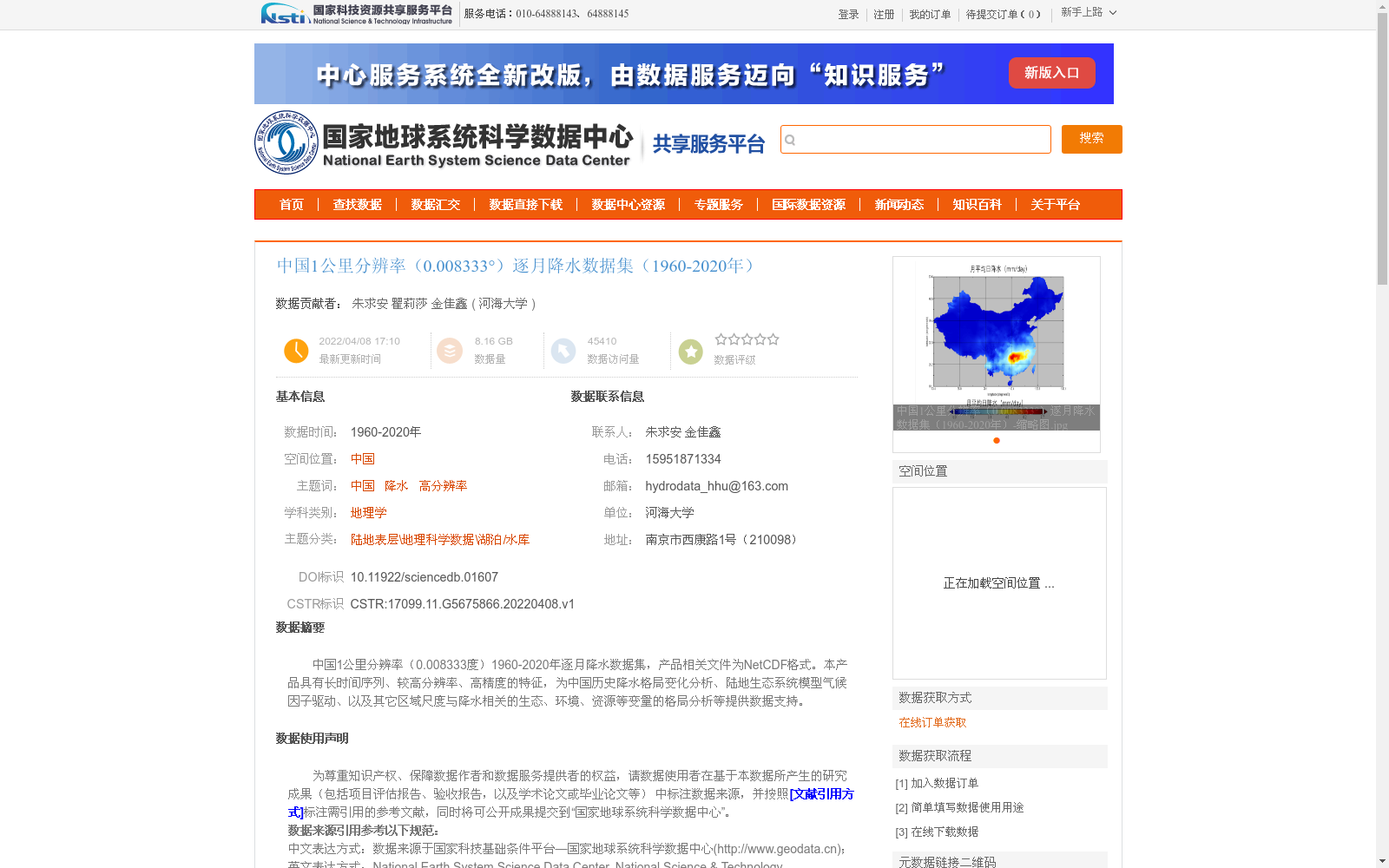
中国1公里分辨率(0.008333度)1960-2020年逐月降水数据集,产品相关文件为NetCDF格式。本产品具有长时间序列、较高分辨率、高精度的特征,为中国历史降水格局变化分析、陆地生态系统模型气候因子驱动、以及其它区域尺度与降水相关的生态、环境、资源等变量的格局分析等提供数据支持。
A monthly precipitation dataset over China at 1-kilometer resolution (0.008333 degrees) spanning 1960–2020. The relevant files of this dataset are stored in NetCDF format. This dataset has the characteristics of long time series, relatively high resolution and high accuracy, providing data support for the analysis of historical precipitation pattern changes in China, climate forcing for terrestrial ecosystem models, as well as the pattern analysis of other regional-scale ecological, environmental and resource variables related to precipitation.
提供机构:
河海大学创建时间:
2022-04-08
搜集汇总
数据集介绍
背景与挑战
背景概述
该数据集是中国区域1960年至2020年的逐月降水数据,空间分辨率为1公里(约0.008333度),具有长时间序列和高精度的特点。数据基于2400多个国家级气象站观测,通过薄板样条插值方法生成,适用于降水格局变化分析、陆地生态系统模型驱动等科学研究。
以上内容由遇见数据集搜集并总结生成


