2010-2018全国自然灾害损失情况
收藏资源简介:
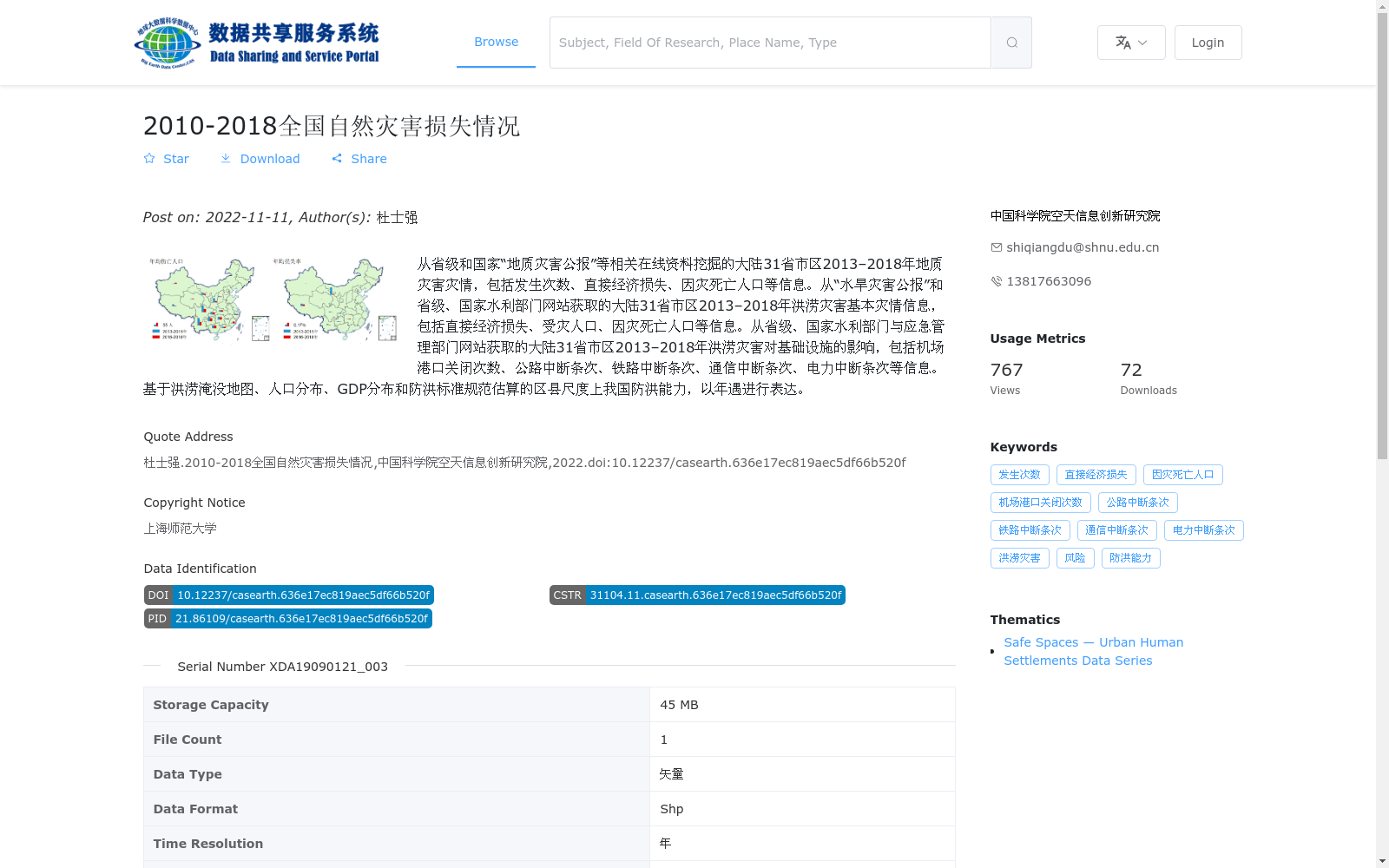
从省级和国家“地质灾害公报”等相关在线资料挖掘的大陆31省市区2013–2018年地质灾害灾情,包括发生次数、直接经济损失、因灾死亡人口等信息。从“水旱灾害公报”和省级、国家水利部门网站获取的大陆31省市区2013–2018年洪涝灾害基本灾情信息,包括直接经济损失、受灾人口、因灾死亡人口等信息。从省级、国家水利部门与应急管理部门网站获取的大陆31省市区2013–2018年洪涝灾害对基础设施的影响,包括机场港口关闭次数、公路中断条次、铁路中断条次、通信中断条次、电力中断条次等信息。基于洪涝淹没地图、人口分布、GDP分布和防洪标准规范估算的区县尺度上我国防洪能力,以年遇进行表达。
This dataset comprises four modules of multi-source disaster and regional statistical data: 1. Geo-hazard disaster statistics for 31 provinces, autonomous regions, and municipalities directly under the Central Government of mainland China from 2013 to 2018, mined from online sources including provincial and national "Geo-hazard Bulletins", covering disaster occurrence counts, direct economic losses, disaster-caused fatalities, and other relevant indicators; 2. Basic flood disaster statistics for the same spatial and temporal scope, acquired from "Flood and Drought Disaster Bulletins" and official websites of provincial and national water resources authorities, covering direct economic losses, affected population, disaster-caused fatalities, and other relevant indicators; 3. Flood disaster impact on infrastructure statistics for the same spatial and temporal scope, obtained from official websites of provincial and national water resources authorities and emergency management departments, covering the number of closed airports and ports, disrupted segments of highways, railways, communication networks, and power supply systems, and other relevant indicators; 4. County-level flood control capacity data of China, estimated based on flood inundation maps, population distribution, GDP distribution, and official flood control standards, expressed in terms of return period.