祁连山区域基于 Landsat 反射率数据的月度30m×30m 地表植被覆盖度数据(1986-2017)
收藏资源简介:
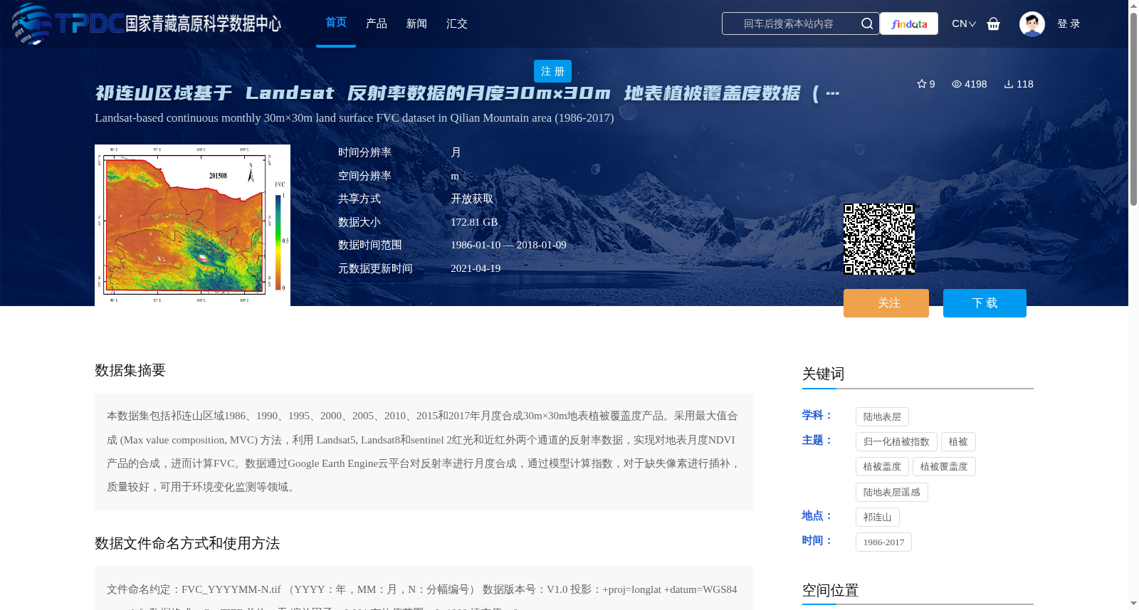
本数据集包括祁连山区域1986、1990、1995、2000、2005、2010、2015和2017年月度合成30m×30m地表植被覆盖度产品。采用最大值合成 (Max value composition, MVC) 方法,利用 Landsat5, Landsat8和sentinel 2红光和近红外两个通道的反射率数据,实现对地表月度NDVI产品的合成,进而计算FVC。数据通过Google Earth Engine云平台对反射率进行月度合成,通过模型计算指数,对于缺失像素进行插补,质量较好,可用于环境变化监测等领域。
This dataset contains monthly composite 30m×30m fractional vegetation cover (FVC) products for the Qilian Mountains region, spanning the years 1986, 1990, 1995, 2000, 2005, 2010, 2015, and 2017. The maximum value composition (MVC) method was utilized to generate monthly land surface Normalized Difference Vegetation Index (NDVI) products using reflectance data from the red and near-infrared bands of Landsat 5, Landsat 8, and Sentinel-2 satellites, followed by FVC calculation based on the synthesized NDVI. The reflectance data were monthly composited on the Google Earth Engine (GEE) cloud platform, with index computations conducted via a dedicated model, and missing pixels were interpolated to ensure data completeness. This dataset has high data quality and can be applied in fields such as environmental change monitoring and other relevant research domains.