2001-2024年中国玉米种植分布数据集
收藏国家生态科学数据中心2024-03-04 收录
下载链接:
http://www.nesdc.org.cn/sdo/detail?id=651403fd7e281774b9b5da68
下载链接
链接失效反馈官方服务:
资源简介:
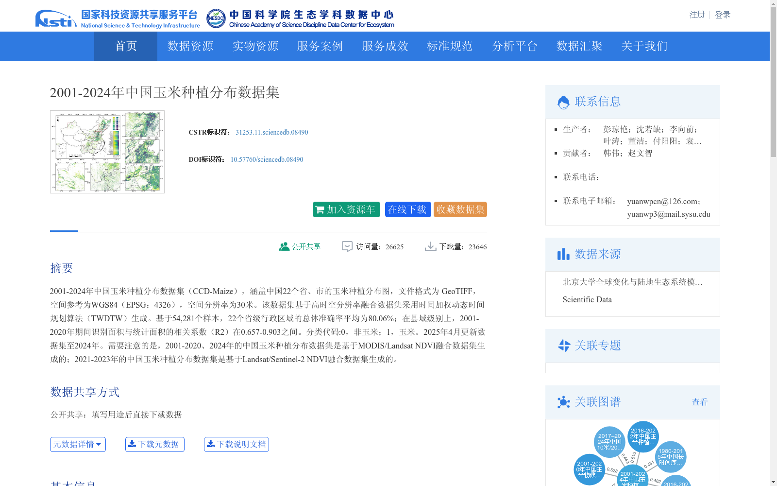
2001-2024年中国玉米种植分布数据集(CCD-Maize),涵盖中国22个省、市的玉米种植分布图,文件格式为 GeoTIFF,空间参考为WGS84(EPSG:4326),空间分辨率为30米。该数据集基于高时空分辨率融合数据集采用时间加权动态时间规划算法(TWDTW)生成。基于54,281个样本,22个省级行政区域的总体准确率平均为80.06%;在县域级别上,2001-2020年期间识别面积与统计面积的相关系数(R2)在0.657-0.903之间。分类代码:0,非玉米;1,玉米。2025年4月更新数据集至2024年。需要注意的是,2001-2020、2024年的中国玉米种植分布数据集是基于MODIS/Landsat NDVI融合数据集生成的;2021-2023年的中国玉米种植分布数据集是基于Landsat/Sentinel-2 NDVI融合数据集生成的。
China Maize Cultivation Distribution Dataset (CCD-Maize) for 2001–2024 covers maize cultivation distribution maps of 22 provinces and municipalities in China. The dataset is in GeoTIFF format, with a spatial reference of WGS84 (EPSG: 4326) and a spatial resolution of 30 meters. It is generated based on a high spatiotemporal resolution fusion dataset using the Time-Weighted Dynamic Time Warping (TWDTW) algorithm. Based on 54,281 samples, the average overall accuracy of the 22 provincial administrative regions reaches 80.06%. At the county level, the correlation coefficient (R²) between the identified area and the statistical area during 2001–2020 ranges from 0.657 to 0.903. The classification codes are: 0 = non-maize; 1 = maize. The dataset was updated to include data up to 2024 in April 2025. It should be noted that the China maize cultivation distribution datasets for 2001–2020 and 2024 were generated based on the MODIS/Landsat NDVI fusion dataset, while those for 2021–2023 were generated based on the Landsat/Sentinel-2 NDVI fusion dataset.
提供机构:
团队
创建时间:
2023-09-27
搜集汇总
数据集介绍
背景与挑战
背景概述
该数据集提供了2001年至2024年中国22个省市的玉米种植空间分布信息,具有30米高空间分辨率,基于时间加权动态时间规划算法生成,总体准确率平均达80.06%,数据质量较高。它覆盖长期时间序列,并整合了多源遥感数据(如MODIS、Landsat和Sentinel-2),适用于农业监测、生态研究和政策分析等领域。
以上内容由遇见数据集搜集并总结生成


