2019年全球30m分辨率森林覆盖产品
收藏地球大数据科学工程2024-03-04 收录
下载链接:
https://data.casearth.cn/sdo/detail/6188d5be819aec0dc5853a4d
下载链接
链接失效反馈官方服务:
资源简介:
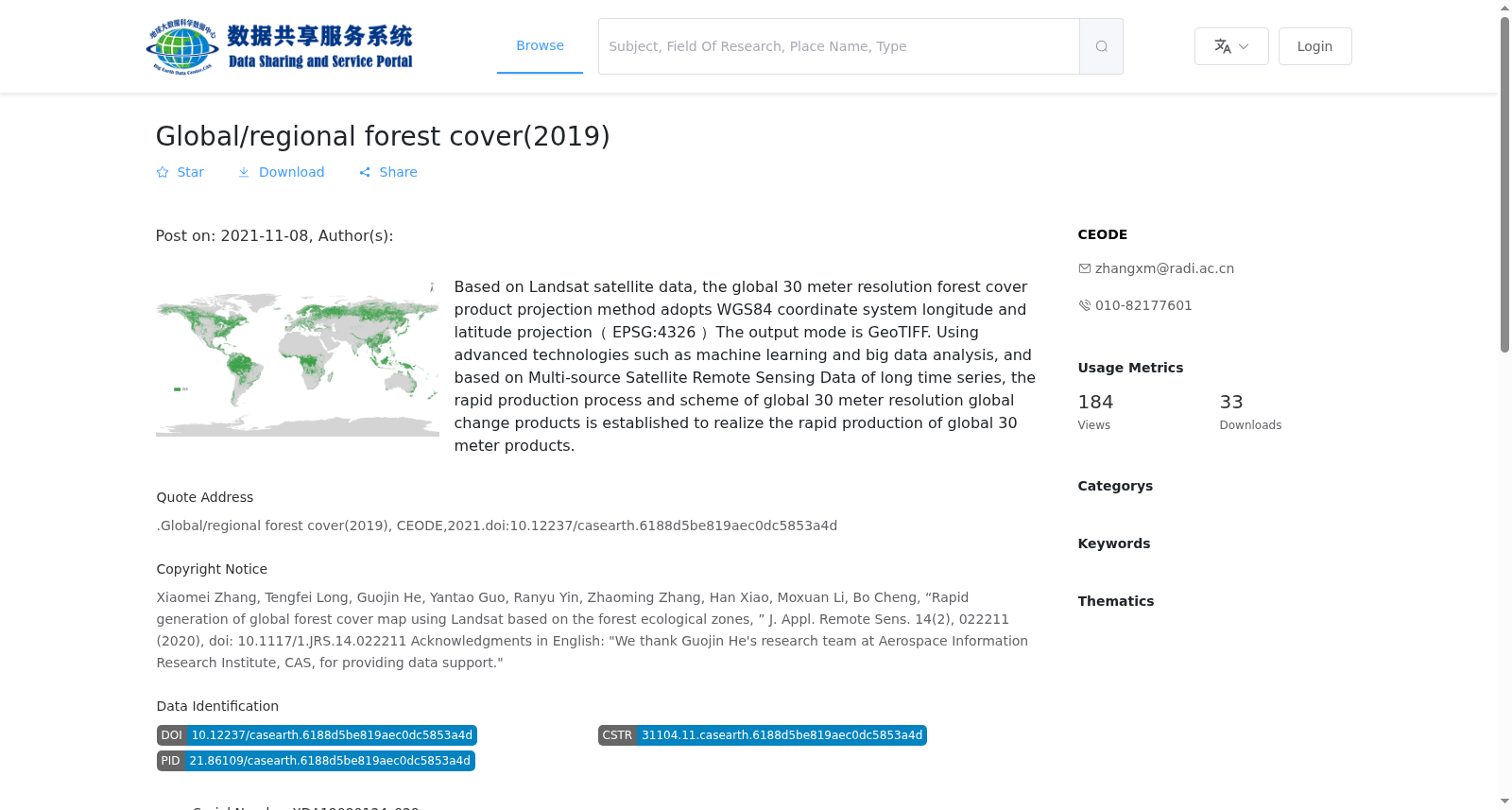
基于Landsat卫星数据研发的全球30米分辨率森林覆盖产品投影方式采用WGS84坐标系统经纬度投影(EPSG:4326);以30米分辨率分块输出,10°×10°分块,共计504块;输出格式为GeoTIFF。采用机器学习、大数据分析等先进技术,基于长时间序列的多源卫星遥感数据,建立30米分辨率全球变化产品快速生产流程和方案,实现全球30米产品快速生产。
The global 30-meter resolution forest cover product, developed based on Landsat satellite data, adopts the WGS84 geographic coordinate system with latitude-longitude projection (EPSG:4326) as its projection method. It is output in tiled units at 30-meter resolution, with each tile covering a 10°×10° geographic extent, totaling 504 tiles; the output format is GeoTIFF. By utilizing advanced technologies such as machine learning and big data analysis, along with long-term time-series multi-source satellite remote sensing data, a rapid production workflow and solution for 30-meter resolution global forest cover products has been established, enabling the fast production of these global 30-meter forest cover products.
提供机构:
中国遥感卫星地面站数据深加工部
搜集汇总
数据集介绍
背景与挑战
背景概述
2019年全球30m分辨率森林覆盖产品是基于Landsat卫星数据,采用WGS84坐标系统投影的全球森林覆盖数据,输出格式为GeoTIFF。该数据集利用机器学习和大数据分析技术,实现了全球30米分辨率森林覆盖产品的快速生产。
以上内容由遇见数据集搜集并总结生成


