
DeepGlobe Land Cover 2018 Dataset
收藏datasetninja.com2025-03-26 收录
下载链接:
https://datasetninja.com/deepglobe
下载链接
链接失效反馈官方服务:
资源简介:
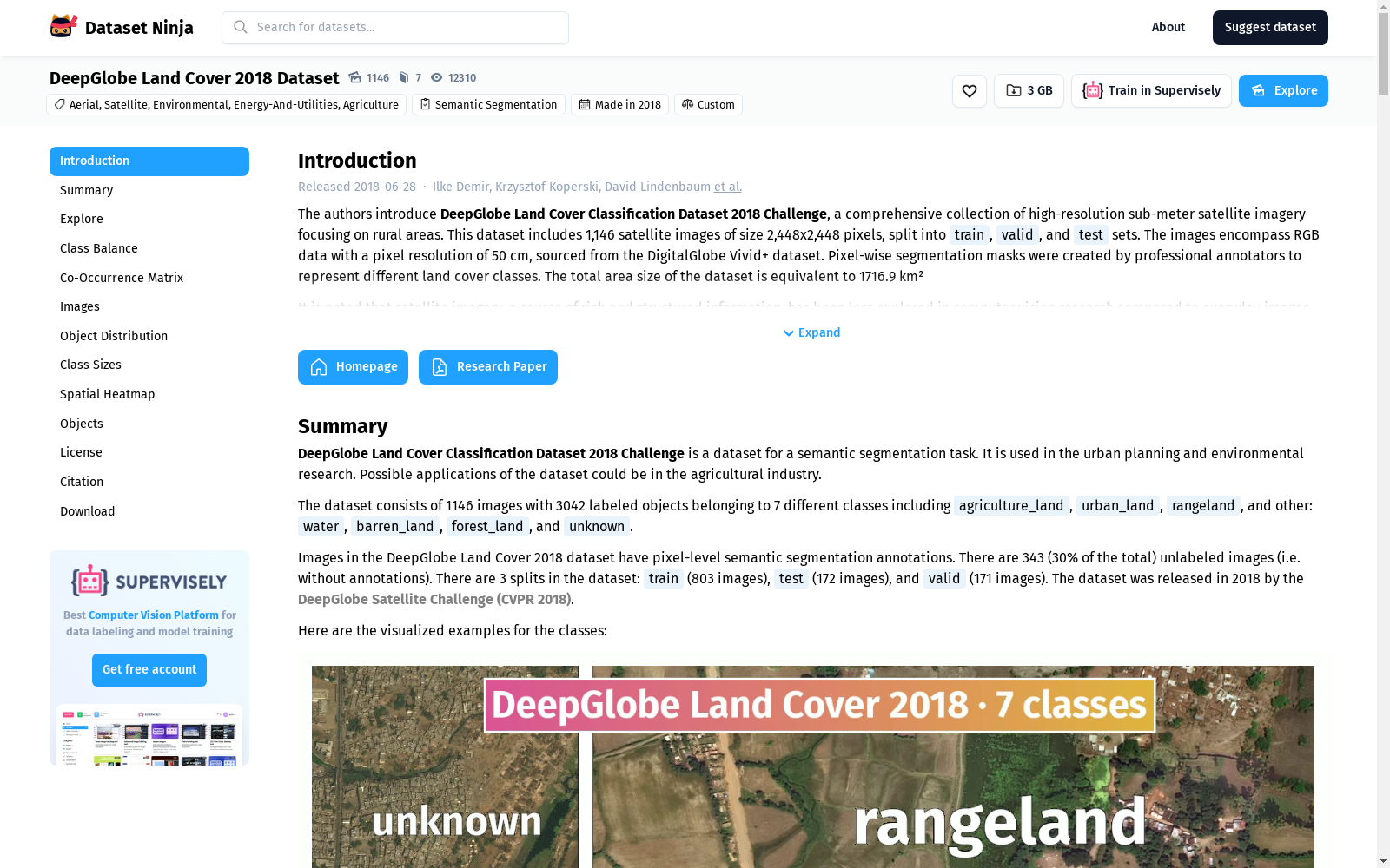
The authors introduce DeepGlobe Land Cover Classification Dataset 2018 Challenge, a comprehensive collection of high-resolution sub-meter satellite imagery focusing on rural areas. This dataset includes 1,146 satellite images of size 2,448x2,448 pixels, split into train, valid, and test sets. The images encompass RGB data with a pixel resolution of 50 cm, sourced from the DigitalGlobe Vivid+ dataset. Pixel-wise segmentation masks were created by professional annotators to represent different land cover classes. The total area size of the dataset is equivalent to 1716.9 km²
作者们推出了2018年DeepGlobe土地覆盖分类数据集挑战赛,该数据集是一套全面的高分辨率亚米级卫星影像集合,专注于农村地区。该数据集包含1,146幅尺寸为2,448x2,448像素的卫星图像,分为训练集、验证集和测试集。图像涵盖了50厘米像素分辨率的RGB数据,数据来源于DigitalGlobe Vivid+数据集。像素级分割掩码由专业标注员创建,以表示不同的土地覆盖类别。该数据集的总面积相当于1716.9平方公里。
提供机构:
datasetninja.com
搜集汇总
数据集介绍
背景与挑战
背景概述
DeepGlobe Land Cover 2018 Dataset是一个发布于2018年的高分辨率卫星图像数据集,包含1,146张RGB图像,每张尺寸为2,448x2,448像素,覆盖总面积约1,716.9平方公里,用于语义分割任务。该数据集标注了7个土地覆盖类别,如农业用地、城市用地和牧场等,旨在支持计算机视觉与遥感数据分析的结合,应用于城市规划、农业和环境研究等领域,具有类别多样性和密集标注的特点。
以上内容由遇见数据集搜集并总结生成



