青藏高原草地生物量和土壤C/N/P含量图集 (2019-2023)
收藏国家青藏高原科学数据中心2025-04-15 更新2025-04-19 收录
下载链接:
https://data.tpdc.ac.cn/zh-hans/data/a531f506-7b98-4198-8242-8a31eec97e5c
下载链接
链接失效反馈官方服务:
资源简介:
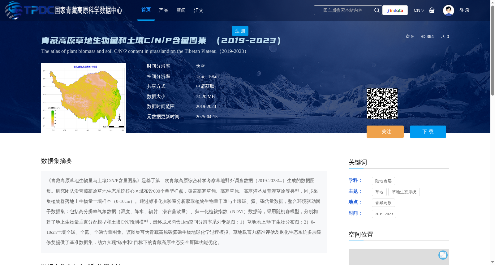
《青藏高原草地生物量与土壤C/N/P含量图集》是基于第二次青藏高原综合科学考察草地野外调查数据(2019-2023年)生成的数据图集。研究团队沿青藏高原草地生态系统核心区域布设600个典型样点,覆盖高寒草甸、高寒草原、高寒灌丛及荒漠草原等类型,同步采集植物群落地上生物量土壤样本(0-10cm)。通过标准化实验室分析获取植物生物量干重与土壤碳、氮、磷含量数据,整合环境驱动因子数据集:包括高分辨率气象数据(温度、降水、辐射、潜在蒸散量)、归一化植被指数(NDVI)数据等,采用随机森模型,分别构建了地上生物量垂直分配模型和土壤C/N/预测模型,最终成果包含1km空间分辨率系列专题图:1)草地地上/地下生物分布图;2)0-10cm土壤全碳、全氮、全磷含量图集。该图集可为青藏高原碳氮磷生物地球化学过程模拟、草地载畜力精准评估及退化生态系统多层级修复提供了基准数据集,助力实现"碳中和"目标下的青藏高原生态安全屏障功能优化。
*Atlas of Grassland Biomass and Soil C/N/P Contents in the Qinghai-Tibet Plateau* is a data atlas developed from field grassland survey data collected during the Second Qinghai-Tibet Plateau Comprehensive Scientific Expedition (2019–2023). The research team established 600 typical sampling plots across core grassland ecosystem regions on the Qinghai-Tibet Plateau, covering major grassland types including alpine meadow, alpine steppe, alpine shrubland, and desert steppe. Above-ground biomass of plant communities and soil samples at a depth of 0–10 cm were collected synchronously at these plots. Data on plant biomass dry weight and soil carbon, nitrogen, and phosphorus concentrations were obtained through standardized laboratory analyses. Integrated environmental driver datasets include high-resolution meteorological data (temperature, precipitation, solar radiation, potential evapotranspiration) and Normalized Difference Vegetation Index (NDVI) data. Using the Random Forest model, the team constructed separate above-ground biomass vertical distribution models and soil C/N/P prediction models. The final results include a series of thematic maps with 1 km spatial resolution: 1) Distribution maps of grassland above-ground and below-ground biomass; 2) Atlas of total soil carbon, total nitrogen, and total phosphorus contents at 0–10 cm depth. This atlas provides a foundational benchmark dataset for simulating carbon, nitrogen, and phosphorus biogeochemical processes on the Qinghai-Tibet Plateau, accurately evaluating grassland carrying capacity, and implementing multi-level restoration of degraded ecosystems, and supports the optimization of the ecological security barrier function of the Qinghai-Tibet Plateau in the context of the "carbon neutrality" goal.
提供机构:
朱军涛
创建时间:
2025-03-04
搜集汇总
数据集介绍
背景与挑战
背景概述
该数据集是基于2019-2023年第二次青藏高原综合科学考察的野外调查数据生成的图集,覆盖600个典型样点,包括高寒草甸等多种草地类型,通过随机森林模型构建了1km空间分辨率的草地生物量(地上和地下)和土壤碳、氮、磷含量专题图。数据集旨在支持青藏高原碳氮磷生物地球化学过程模拟、草地载畜力评估和生态系统修复,为碳中和目标下的生态安全屏障优化提供基准数据。
以上内容由遇见数据集搜集并总结生成


