三北防护林体系建设全国一级区划图
收藏国家林业和草原科学数据中心2022-09-07 更新2024-03-06 收录
下载链接:
https://www.forestdata.cn/dataDetail.html?id=CSTR:17575.11.0120220907190.010001.V1
下载链接
链接失效反馈官方服务:
资源简介:
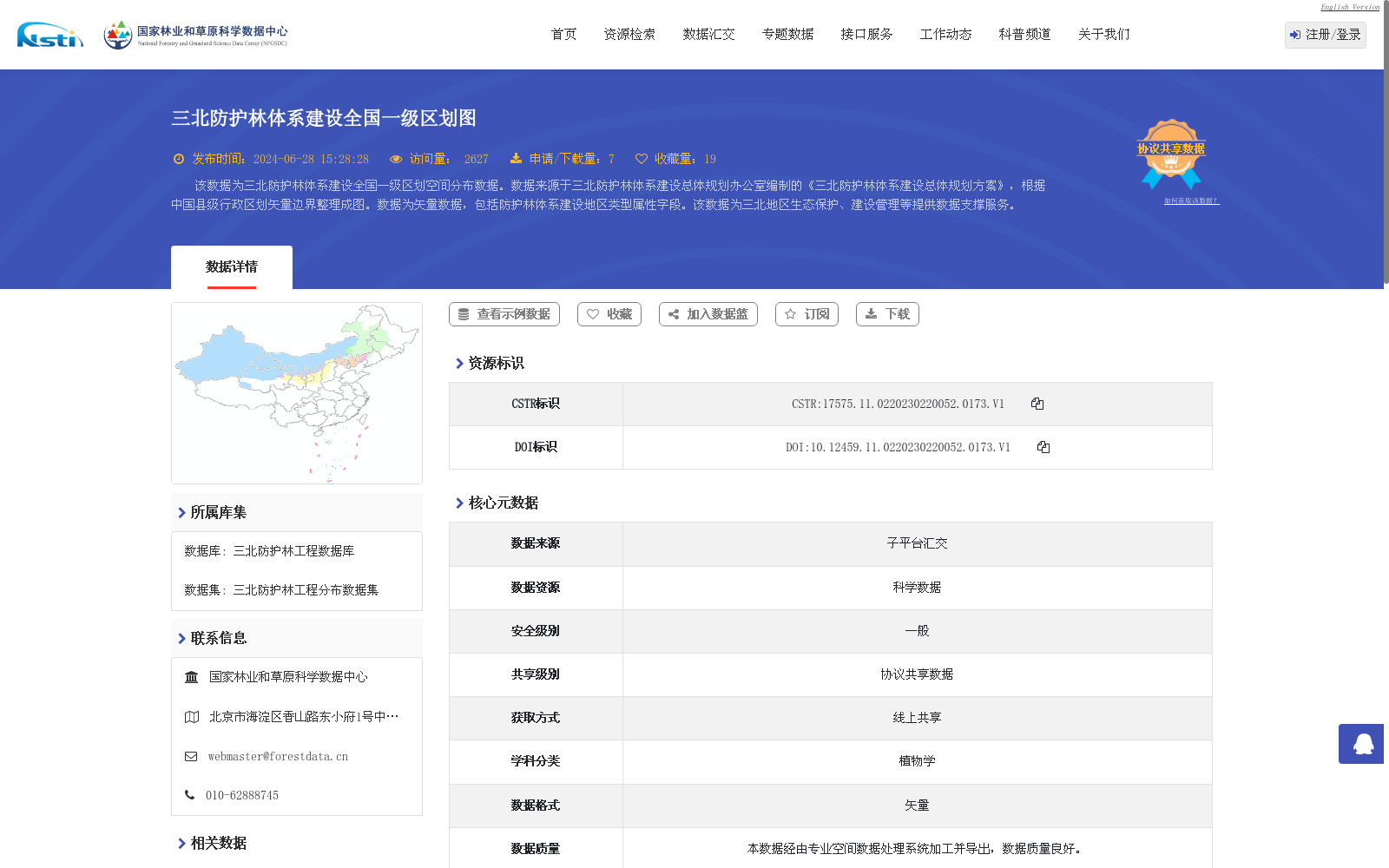
该数据为三北防护林体系建设全国一级区划空间分布数据。数据来源于三北防护林体系建设总体规划办公室编制的《三北防护林体系建设总体规划方案》,根据中国县级行政区划矢量边界整理成图。数据为矢量数据,包括防护林体系建设地区类型属性字段。该数据为三北地区生态保护、建设管理等提供数据支撑服务。
This dataset is the national spatial distribution data of the first-level zoning for the Three-North Shelterbelt System Construction. It is derived from the *Overall Plan for the Three-North Shelterbelt System Construction* compiled by the Overall Planning Office of the Three-North Shelterbelt System Construction, and was mapped based on the vector boundaries of China's county-level administrative divisions. The dataset is in vector format and includes attribute fields for the types of areas designated for shelterbelt system construction. It provides data support and services for ecological protection, construction management and other related work in the Three-North region.
提供机构:
国家林业和草原科学数据中心
创建时间:
2022-09-07
搜集汇总
数据集介绍
背景与挑战
背景概述
该数据集是三北防护林体系建设全国一级区划的空间分布矢量数据,来源于《三北防护林体系建设总体规划方案》,基于中国县级行政区划边界整理而成,包含防护林体系建设地区类型属性字段。数据时间为1978年,覆盖中国范围,主要用于为三北地区的生态保护和建设管理提供数据支撑服务。
以上内容由遇见数据集搜集并总结生成


