CODrone
收藏资源简介:
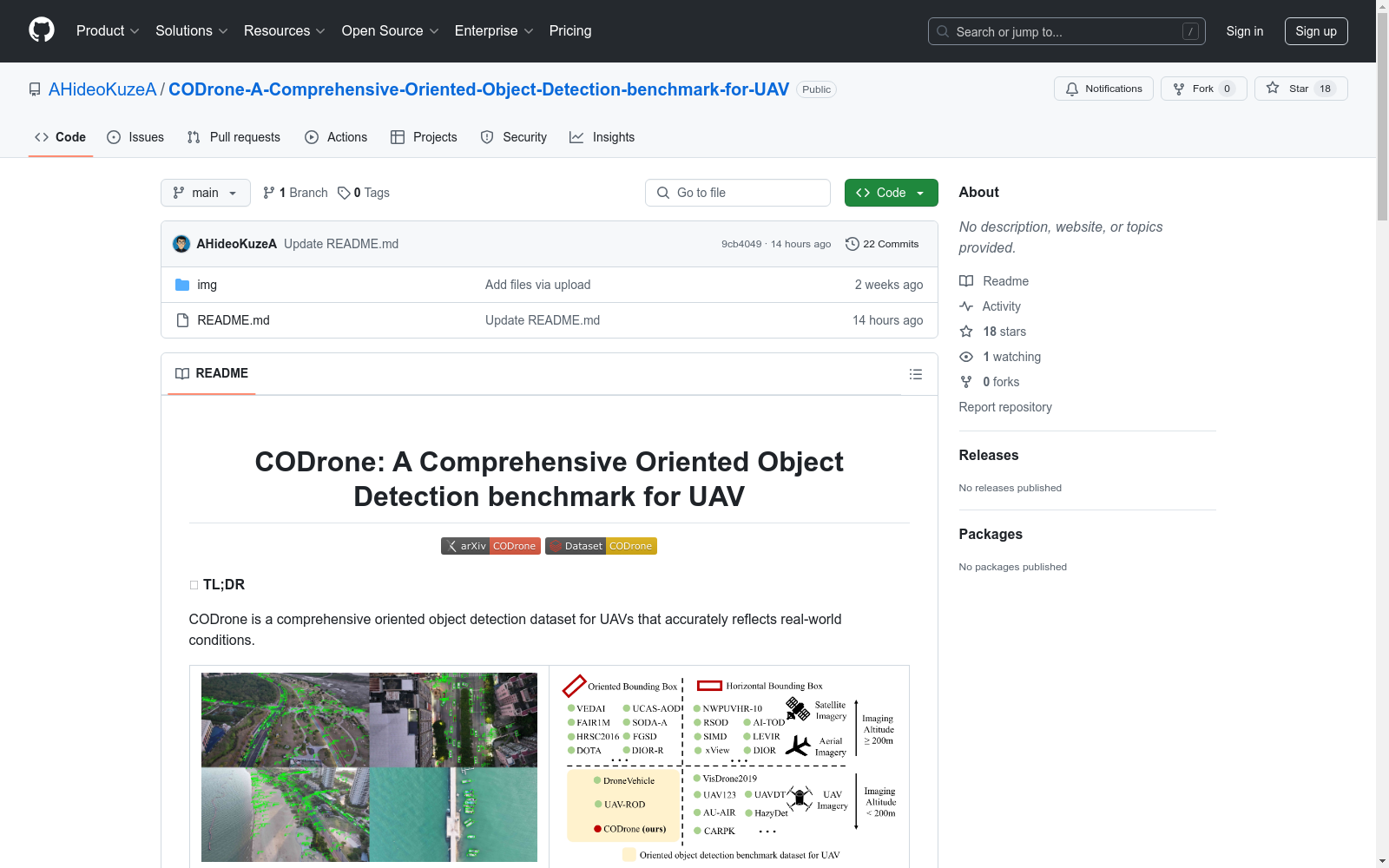
CODrone是一个面向无人机的综合定向物体检测数据集,准确反映了真实世界条件。它包括超过一万张无人机拍摄的图像,具有精确的定向边界框注释和多样化的物体类别。该数据集考虑了多个影响因素,包括图像采集高度、相机视角、光照条件和地理位置。
CODrone is a comprehensive oriented object detection dataset tailored for drones, which accurately reflects real-world scenarios. It contains over 10,000 images captured by drones, with precisely annotated oriented bounding boxes and diverse object categories. This dataset takes into account multiple influencing factors, including image acquisition altitude, camera perspective, lighting conditions, and geographic location.
CODrone数据集概述
数据集简介
- 名称: CODrone (A Comprehensive Oriented Object Detection benchmark for UAV)
- 类型: 无人机(UAV)定向目标检测数据集
- 特点: 大规模、高分辨率、多场景、多角度
关键贡献
- 提出大规模高分辨率无人机定向目标检测数据集
- 包含精确的定向边界框标注和多样化对象类别
- 考虑多种影响因素:
- 图像采集高度
- 相机视角
- 光照条件
- 地理位置
数据集特性
基础信息
- 分辨率: 3840×2160
- 类别数: 12
- 图像数量: 10.0k
- 对象数量: 596.7k
- 标注类型: 定向边界框(OBB)
比较优势
| 维度 | CODrone | 其他数据集 |
|---|---|---|
| 分辨率 | 3840×2160 | 最高2000×1500 |
| 类别数 | 12 | 最多10 |
| 高度差 | 70m | 最高60m |
| 相机角度 | 60° | 最高45° |
数据特点
-
高分辨率优势
- 采用3840×2160高分辨率机载相机
- 与现代无人机硬件能力匹配
-
多高度多角度采集
- 飞行高度: 30m/60m/100m
- 相机角度: 30°/90°
- 共6种独特视点组合
-
多样化场景
- 覆盖城市区域、乡村城镇、港口和工业区等
- 包含现实无人机应用中大多数场景类型
数据集结构
CODrone/ ├── test/ │ ├── annfile/ # DOTA格式标注 │ ├── images/ │ └── labels/ # VOC格式标注 ├── train/ │ ├── annfile/ │ ├── images/ │ └── labels/ └── val/ ├── annfile/ ├── images/ └── labels/
下载链接
引用格式
bibtex @misc{ye2025clearflexibleprecisecomprehensive, title={More Clear, More Flexible, More Precise: A Comprehensive Oriented Object Detection benchmark for UAV}, author={Kai Ye and Haidi Tang and Bowen Liu and Pingyang Dai and Liujuan Cao and Rongrong Ji}, year={2025}, eprint={2504.20032}, archivePrefix={arXiv}, primaryClass={cs.CV}, url={https://arxiv.org/abs/2504.20032}, }
许可协议
- CC BY-NC-SA 4.0 (署名-非商业性使用-相同方式共享 4.0 国际)
- 仅限学术研究使用