西亚地区地震构造图(1960-2019)
收藏资源简介:
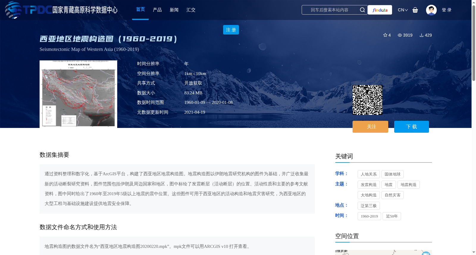
通过资料整理和数字化,基于ArcGIS平台,构建了西亚地区地震构造图。地震构造图以伊朗地震研究机构的图件为基础,并广泛收集最新的活动断裂研究资料,图件范围包括伊朗及周边国家和地区,图中标绘了发震断层(活动断层)的位置、活动性质和主要的参考文献资料,图中同时给出了1960年至2019年5级以上地震的震中位置。这些图件可用于西亚地区的活动构造和地震灾害研究,为西亚地区的大型工程与基础设施建设提供地震安全保障。
Based on the ArcGIS platform, a seismotectonic map of West Asia was developed through data collation and digitization. This map is built upon cartographic materials from Iranian seismic research institutions, and extensively incorporates the latest research data on active faults, covering Iran and its surrounding countries and regions. It marks the locations, activity characteristics of seismogenic faults (active faults), as well as the main reference documents, and also provides the epicenter locations of earthquakes with magnitude ≥5.0 that occurred between 1960 and 2019. These maps can be used for research on active tectonics and seismic hazards in West Asia, and provide seismic safety guarantees for the construction of large-scale projects and infrastructure in the region.