CAFOSat
收藏资源简介:
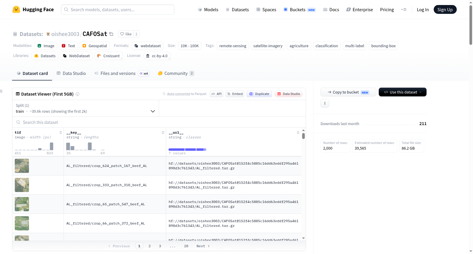
CAFOSat是由弗吉尼亚大学研究团队创建的一个用于集中动物饲养操作(CAFO)高分辨率遥感测绘的强标注数据集。该数据集包含超过45,000个图像块,覆盖美国20个州,整合了高分辨率NAIP影像与多源CAFO位置清单,数据量约4.5万条。数据集通过结合人工智能标注器、GradCAM定位和几何聚类的人机协同流程,将公开的弱地理标注转化为精炼点标注,并采用土地覆盖引导采样构建困难负样本。该数据集主要应用于环境监测、公共卫生风险评估和流行病学建模领域,旨在解决CAFO设施精准识别、基础设施属性标注以及跨区域泛化能力不足等关键问题。
CAFOSat is a strongly annotated dataset developed by a research team at the University of Virginia for high-resolution remote sensing mapping of Concentrated Animal Feeding Operations (CAFOs). The dataset contains over 45,000 image patches, covering 20 states across the United States, and integrates high-resolution NAIP imagery with multi-source CAFO location inventories, totaling approximately 45,000 entries. It adopts a human-AI collaborative workflow combining AI annotators, GradCAM localization and geometric clustering to convert publicly available weak geographic annotations into refined point annotations, and constructs hard negative samples via land cover-guided sampling. This dataset is mainly applied in the fields of environmental monitoring, public health risk assessment and epidemiological modeling, aiming to address key issues such as accurate identification of CAFO facilities, infrastructure attribute annotation and insufficient cross-regional generalization capability.
数据集概述
CAFOSat 是一个遥感数据集,专门用于识别和分类美国多个州的集中动物饲养操作(CAFOs)。数据集包含高分辨率图像块、基础设施标注、边界框以及多种实验性的训练-测试划分。
数据集规模
- 图像数量:10,000 到 100,000 张(
10K<n<100K)。
数据内容与结构
数据集解压后包含以下文件夹:
STATE_filtered/:按美国州别组织的原始图像块(例如IA_filtered/,AL_filtered/)。negative_samples/:经核实的非CAFO样本。barn/,manure_pond/,others/:按基础设施类型增强的合成图像块。
元数据文件:CAFOSat.csv,包含标签、边界框和划分标志等信息。
文件引用
元数据中的 patch_file 字段提供图像文件的相对路径。示例:
IA_filtered.tar.gz::IA_filtered/crop_4517_patch_10147_Swine_Nursery_IA.tifbarn.tar.gz::barn/aug_patch_00123.tifnegative_sample.tar.gz::barn/neg_patch_00098.tif
特征字段 (CAFOSat.csv)
| 字段 | 描述 |
|---|---|
patch_file |
图像文件的路径 |
label |
类别的整数标签 (0–6) |
barn, manure_pond, grazing_area, others |
表示基础设施类型的二进制标志 |
geom_bbox |
边界框坐标 [x1, y1, x2, y2] |
geometry |
勾勒CAFO区域的地理空间多边形 |
poly_crs, patch_crs |
用于几何和图像块的坐标参考系 |
category |
CAFO类别名称 (如 Swine, Dairy) |
state |
图像块所在的美国州 |
verified_label |
标签是否经过人工验证的布尔值 |
CAFO_UNIQUE_ID |
每个CAFO设施的唯标识符 |
image_type |
图像变体类型:augmented 或其他(真实) |
orig_patch_file |
原始图像的路径(仅适用于增强图像) |
prompt |
用于生成或语义用途的文本提示 |
weak_x, weak_y, refined_x, refined_y |
CAFO中心坐标(弱监督和优化后) |
patch_res |
图像块的空间分辨率(米/像素) |
split columns |
多种训练/测试/验证划分的二进制标志 |
数据划分
数据集包含多种预定义的训练/测试/验证划分,由布尔标志(True/False)在元数据中指示,例如:
cafosat_verified_training_*cafosat_all_training_*cafosat_training_set1_*,set2_*cafosat_merged_training_*cafosat_augmented_training_*
标签类别
| 类别ID | 类别名称 |
|---|---|
| 0 | Negative (非CAFO) |
| 1 | Swine (猪) |
| 2 | Dairy (奶牛) |
| 3 | Beef (肉牛) |
| 4 | Poultry (家禽) |
| 5 | Horses (马) |
| 6 | Sheep/Goats (羊) |
预期用途
- CAFO设施检测与分类
- 使用边界框进行CAFO区域定位
- 农业基础设施制图(如谷仓、粪池)
- 弱监督和半监督学习
- 遥感基准测试开发
许可证
本数据集采用 CC BY 4.0 许可证。在注明出处的前提下,可自由分享和改编数据。
联系方式
- 资源库:oishee-hoque/CAFOSat
- 数据加载器与示例:CAFOSat Data Loader and Examples
- 邮箱:
gza5dr@virginia.edu