
Aqueduct Global Flood Risk Maps Data
收藏www.hydroshare.org2020-04-10 更新2025-03-26 收录
下载链接:
https://www.hydroshare.org/resource/895d19627ff84f69ad15619bb1d3da02
下载链接
链接失效反馈官方服务:
资源简介:
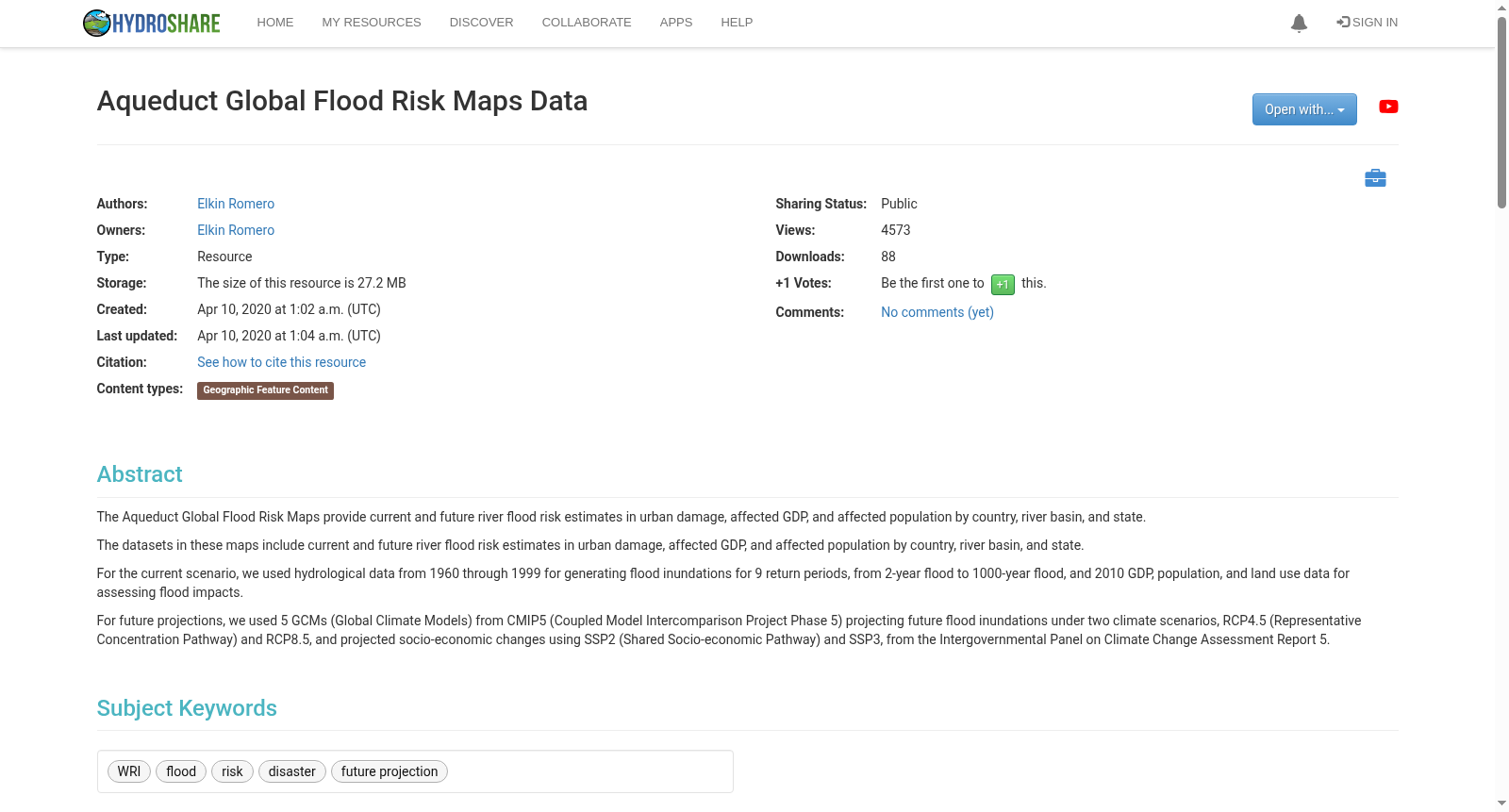
The Aqueduct Global Flood Risk Maps provide current and future river flood risk estimates in urban damage, affected GDP, and affected population by country, river basin, and state.
The datasets in these maps include current and future river flood risk estimates in urban damage, affected GDP, and affected population by country, river basin, and state.
For the current scenario, we used hydrological data from 1960 through 1999 for generating flood inundations for 9 return periods, from 2-year flood to 1000-year flood, and 2010 GDP, population, and land use data for assessing flood impacts.
For future projections, we used 5 GCMs (Global Climate Models) from CMIP5 (Coupled Model Intercomparison Project Phase 5) projecting future flood inundations under two climate scenarios, RCP4.5 (Representative Concentration Pathway) and RCP8.5, and projected socio-economic changes using SSP2 (Shared Socio-economic Pathway) and SSP3, from the Intergovernmental Panel on Climate Change Assessment Report 5.
Aqueduct全球洪水风险地图提供了当前及未来各国家、流域及州级河流洪水风险估计,包括城市损害、受影响国内生产总值以及受影响人口。该数据集包括当前及未来河流洪水风险估计,涉及城市损害、受影响国内生产总值和受影响人口,具体按国家、流域及州划分。针对当前情景,我们利用1960年至1999年的水文数据,生成了从2年一遇洪水至1000年一遇洪水共9种重现期下的洪水淹没情况,并使用了2010年的国内生产总值、人口和土地利用数据来评估洪水影响。对于未来预测,我们采用了CMIP5(耦合模式比较计划第5阶段)中的5种全球气候模型(GCMs),在RCP4.5(代表性浓度路径)和RCP8.5两种气候情景下预测未来洪水淹没情况,并使用政府间气候变化专门委员会第5次评估报告中的SSP2(共享社会经济路径)和SSP3预测社会经济变化。
提供机构:
www.hydroshare.org
搜集汇总
数据集介绍
背景与挑战
背景概述
该数据集提供全球河流洪水风险评估,包含当前(基于1960-1999年数据)和未来(基于RCP4.5/RCP8.5气候情景)的城市损失、GDP影响和人口影响等指标,覆盖国家、流域和州级地理范围。数据集采用WGS 84坐标系统,存储大小为27.2MB,可通过地理信息服务访问。
以上内容由遇见数据集搜集并总结生成



