广东海岸带地表水体分布图(1:150万)
收藏南海海洋数据中心2024-03-01 收录
下载链接:
https://data.scsio.ac.cn/metaData-detail/1503943961540481024
下载链接
链接失效反馈官方服务:
资源简介:
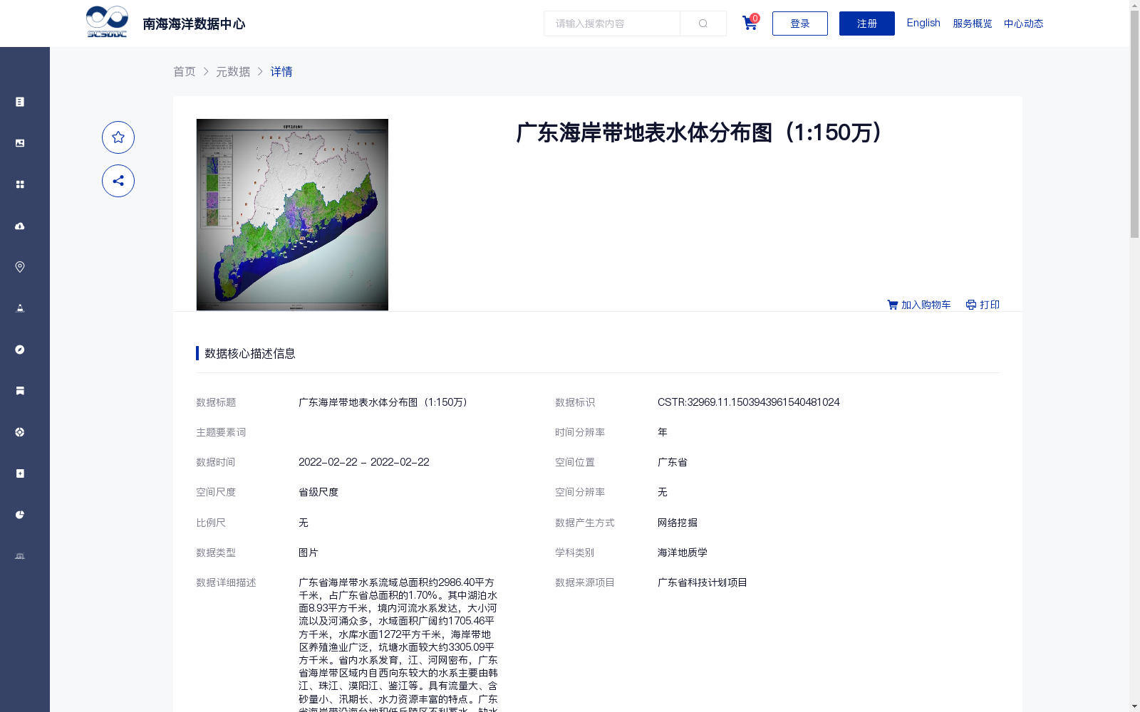
广东省海岸带水系流域总面积约2986.40平方千米,占广东省总面积的1.70%。其中湖泊水面8.93平方千米,境内河流水系发达,大小河流以及河涌众多,水域面积广阔约1705.46平方千米,水库水面1272平方千米,海岸带地区养殖渔业广泛,坑塘水面较大约3305.09平方千米。省内水系发育,江、河网密布,广东省海岸带区域内自西向东较大的水系主要由韩江、珠江、漠阳江、鉴江等。具有流量大、含砂量小、汛期长、水力资源丰富的特点。广东省海岸带沿海台地和低丘陵区不利蓄水,缺水现象突出,尤以粤西的雷州半岛最为典型。
The total drainage area of the coastal watersheds in Guangdong Province is approximately 2986.40 km², accounting for 1.70% of the province's total territorial area. Of this total, the lake surface area stands at 8.93 km². The inland river systems in the region are well-developed, boasting numerous large and small rivers and creeks, with a vast total water area of about 1705.46 km². The reservoir surface area reaches 1272 km². The coastal zone features extensive aquaculture and fishery activities, with a large pond surface area of approximately 3305.09 km². The province has well-developed water systems and dense river networks. Within the coastal zone of Guangdong, the major large-scale water systems from west to east mainly include the Han River, Pearl River, Moyang River, Jian River, and others. These water systems are characterized by large discharge, low sediment content, long flood seasons, and abundant water power resources. However, the coastal terraces and low hilly areas along Guangdong's coast are not conducive to water storage, leading to prominent water shortages, a situation that is most typical in the Leizhou Peninsula of western Guangdong.
提供机构:
广州海洋地质调查局
搜集汇总
数据集介绍
背景与挑战
背景概述
该数据集为广东省海岸带地表水体分布图,比例尺为1:150万,覆盖广东省海岸带区域,包含湖泊、河流、水库、坑塘等水体的分布信息。数据通过网络挖掘整合产生,质量可靠,适用于海洋地质学等领域的研究和应用。
以上内容由遇见数据集搜集并总结生成


