
CityRep
收藏资源简介:
CityRep是由伦敦大学学院和武汉大学联合构建的综合性城市表征学习基准数据集,旨在系统评估异构城市表征模型在跨城市、跨模态和跨任务场景下的泛化能力。该数据集涵盖8个不同城市,包含土地利用分类、道路密度回归、人口回归、年龄分布预测、国内生产总值回归、夜间灯光回归、PM2.5回归和地表温度回归共八项下游任务,数据来源整合了OpenStreetMap、WorldPop、VIIRS夜间灯光、MODIS地表温度等多源地理空间数据。数据集通过标准化的空间对齐模块将不同空间支持的表征统一映射到任务单元,并采用基于空间块的结构化分割策略以缓解空间泄漏问题,确保评估的严谨性。该基准主要应用于城市表征学习和城市基础模型研究领域,致力于解决现有评估方法在城市覆盖范围、任务多样性及空间依赖性方面的局限性,为公平比较模型性能提供标准化框架。
CityRep is a comprehensive urban representation learning benchmark dataset jointly constructed by University College London and Wuhan University, which aims to systematically evaluate the generalization capabilities of heterogeneous urban representation models across cross-city, cross-modal and cross-task scenarios. The dataset covers 8 distinct cities and includes a total of 8 downstream tasks: land use classification, road density regression, population regression, age distribution prediction, gross domestic product (GDP) regression, nighttime light brightness regression, PM2.5 concentration regression, and land surface temperature regression. Its data sources integrate multi-source geospatial data such as OpenStreetMap, WorldPop, VIIRS nighttime light products, and MODIS land surface temperature products. The dataset adopts a standardized spatial alignment module to uniformly map representations with different spatial supports to task units, and employs a spatial block-based structured segmentation strategy to alleviate spatial leakage issues, thus ensuring the rigor of the evaluation. This benchmark is primarily applied in the fields of urban representation learning and urban foundation model research, aiming to address the limitations of existing evaluation methods in terms of urban coverage, task diversity and spatial dependence, and provide a standardized framework for the fair comparison of model performance.
CityRep 数据集概述
CityRep 是一个基于注册表的城市表征基准,用于评估跨城市、任务和嵌入格式的城市表征。该基准涵盖 8 个城市、8 个下游任务和 11 种表征基线。
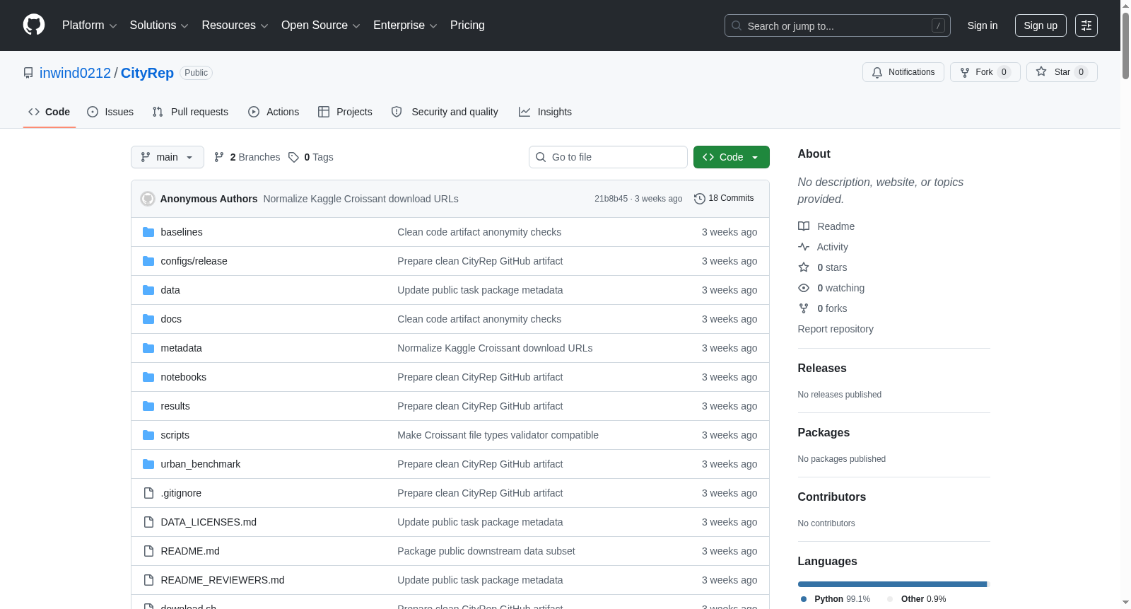
- 数据集主页: https://github.com/inwind0212/CityRep
- 数据分发: 处理后的数据通过 Kaggle 分别发布:
- 下游任务数据: 任务样本表、标签栅格、任务元数据和注册表。
- 模型制品数据: AETHER, AlphaEarth, TESSERA, CityFM, CaLLiPer, Space2Vec, Place2Vec, Urban2Vec, MuseCL, SatCLIP 和 PE 等模型的嵌入导出。
核心特性
- 基准城市: 包含了针对 8 个城市的评估。
- 下游任务: 包含 8 个任务:
landuse、road_density、population、age_distribution、gdp、nightlight、pm25和lst_day_mean。 - 评估协议:
- 空间分割:
spatial-block,主要论文使用此协议。 - 随机分割:
random-split,用于诊断性对比。
- 空间分割:
- 主要指标:
- 土地利用(
landuse):宏平均 F1 分数。 - 年龄分布(
age_distribution):KL 散度。 - 回归任务(如人口、GDP 等):R² 值。
- 土地利用(
- 嵌入格式支持: 支持三种嵌入输入格式:
- 栅格嵌入 (Raster embeddings): GeoTIFF 格式,通常为多波段。
- 区域嵌入 (Region embeddings): CSV/Parquet/Feather 表格格式,每行一个区域。
- 实体嵌入 (Entity embeddings): CSV/Parquet/Feather 表格格式,包含点坐标和嵌入列。
数据集结构
代码仓库与数据分离。数据通过 download.sh all 或单独使用 ./download.sh tasks 和 ./download.sh model-artifacts 命令从 Kaggle 下载。下载后,数据会放置在以下路径:
data/tasks/<task_id>/: 下游任务数据。baselines/artifacts/<model>/<city>/: 模型嵌入数据。
代码仓库本身包含注册表、配置、总结结果和笔记本。代码仓库中的关键文件包括:
urban_benchmark/: Python 包和命令行接口 (CLI)。configs/release/protocols.json: 空间块和随机分割评估协议。data/tasks.json: 基准任务注册表。data/registry/tasks.csv: 任务注册表的 CSV 格式。data/registry/appendix26_global_tasks.csv: 26 城遥感扩展的可选注册表。baselines/registry/embedding_manifest.csv: 标准基准嵌入清单文件。results/: CSV 总结和图表。notebooks/: 用于生成论文表格、图表和审计的 7 个最终笔记本。
使用流程
- 环境安装: 使用
environment.yml创建 Conda 环境并安装包。 - 数据下载: 配置 Kaggle 凭证后,运行
./download.sh all下载数据。 - 审计: 使用
python -m urban_benchmark audit命令检查注册表与下载路径的一致性。 - 重现基准:
- 空间分割: 使用
python -m urban_benchmark evaluate命令并指定--protocol block10_5seed_mlp1024。 - 随机分割: 使用
python -m urban_benchmark evaluate命令并指定--protocol random_5seed_mlp1024。
- 空间分割: 使用
- 评估新模型: 主要通过
python -m urban_benchmark run-model命令,需要指定城市、任务、嵌入类型、嵌入路径和评估协议。 - 扩展新城市或任务: 使用
python -m urban_benchmark extend-city命令,并提供原始栅格或样本表格以及任务清单。
- 1CITYREP: A Unified Benchmark for Urban Representations Across Cities, Tasks, and Modalities伦敦大学学院·时空实验室; 伦敦大学学院·3DIMPact; 武汉大学·资源与环境科学学院; 武汉大学·测绘遥感信息工程国家重点实验室 · 2026年


