鄱阳湖水生植被卫星遥感监测数据集(2000-2020年)
收藏国家地球系统科学数据中心2024-11-28 更新2024-09-21 收录
下载链接:
https://www.geodata.cn/data/datadetails.html?dataguid=3924635292218&docId=2119
下载链接
链接失效反馈官方服务:
资源简介:
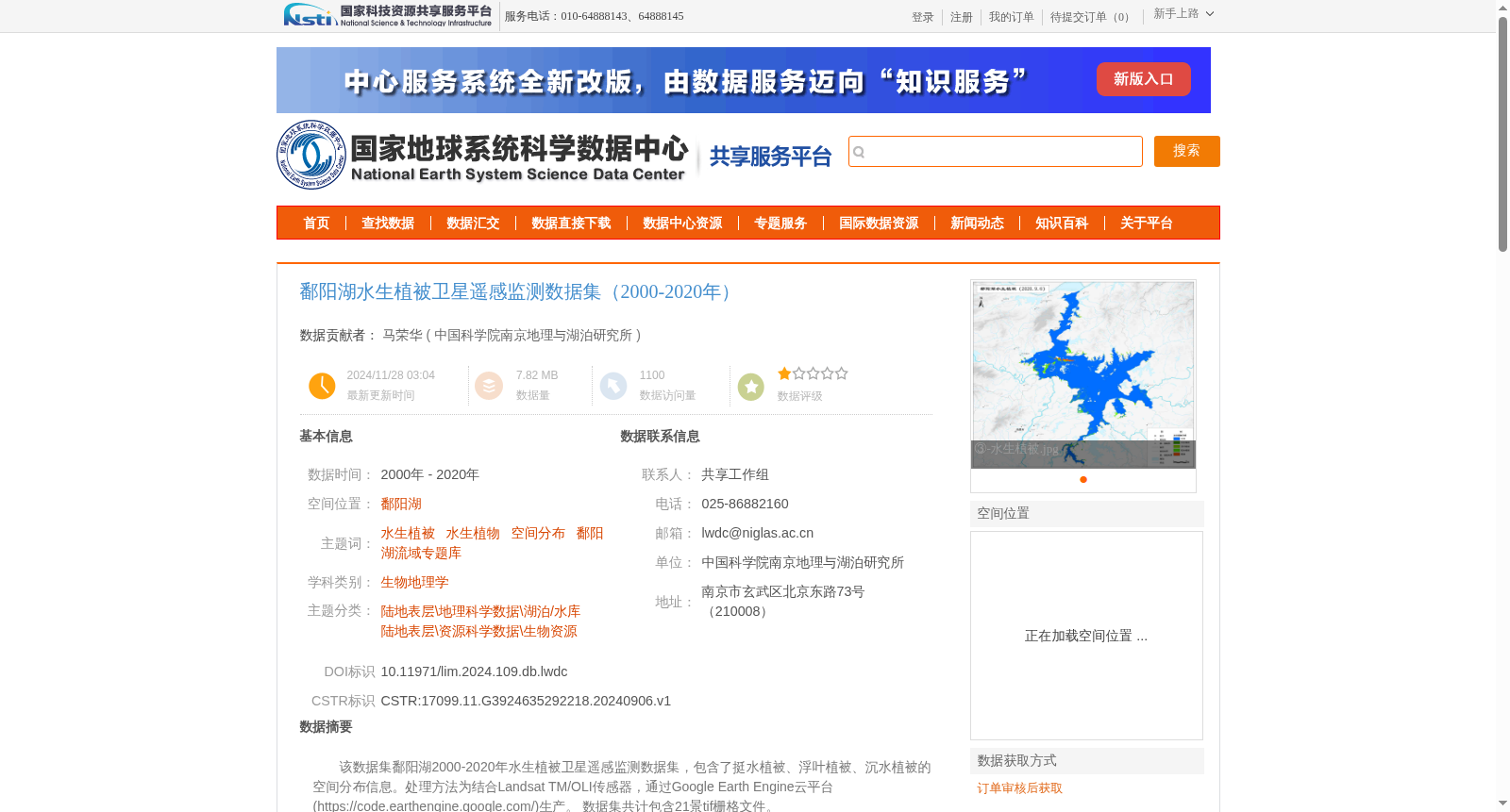
该数据集鄱阳湖2000-2020年水生植被卫星遥感监测数据集,包含了挺水植被、浮叶植被、沉水植被的空间分布信息。处理方法为结合Landsat TM/OLI传感器,通过Google Earth Engine云平台(https://code.earthengine.google.com/)生产。
数据集共计包含21景tif栅格文件。
This is the Satellite Remote Sensing Monitoring Dataset of Aquatic Vegetation in Poyang Lake spanning 2000 to 2020, which includes spatial distribution data of three types of aquatic vegetation: emergent vegetation, floating-leaved vegetation, and submerged vegetation. The dataset was generated using Landsat TM/OLI sensors through the Google Earth Engine cloud platform (https://code.earthengine.google.com/). In total, the dataset contains 21 TIFF raster files.
提供机构:
中国科学院南京地理与湖泊研究所
创建时间:
2024-09-06
搜集汇总
数据集介绍
背景与挑战
背景概述
该数据集包含鄱阳湖2000-2020年挺水植被、浮叶植被和沉水植被的空间分布信息,通过Landsat TM/OLI传感器和Google Earth Engine云平台处理生成,数据总体精度为73%,适用于生物地理学和湖泊生态研究。
以上内容由遇见数据集搜集并总结生成


