0.25°全球GDP空间分布年度数据(1990年,2025年)
收藏国家地球系统科学数据中心2016-05-10 更新2024-03-04 收录
下载链接:
https://www.geodata.cn/data/datadetails.html?dataguid=21253814407362&docId=34535
下载链接
链接失效反馈官方服务:
资源简介:
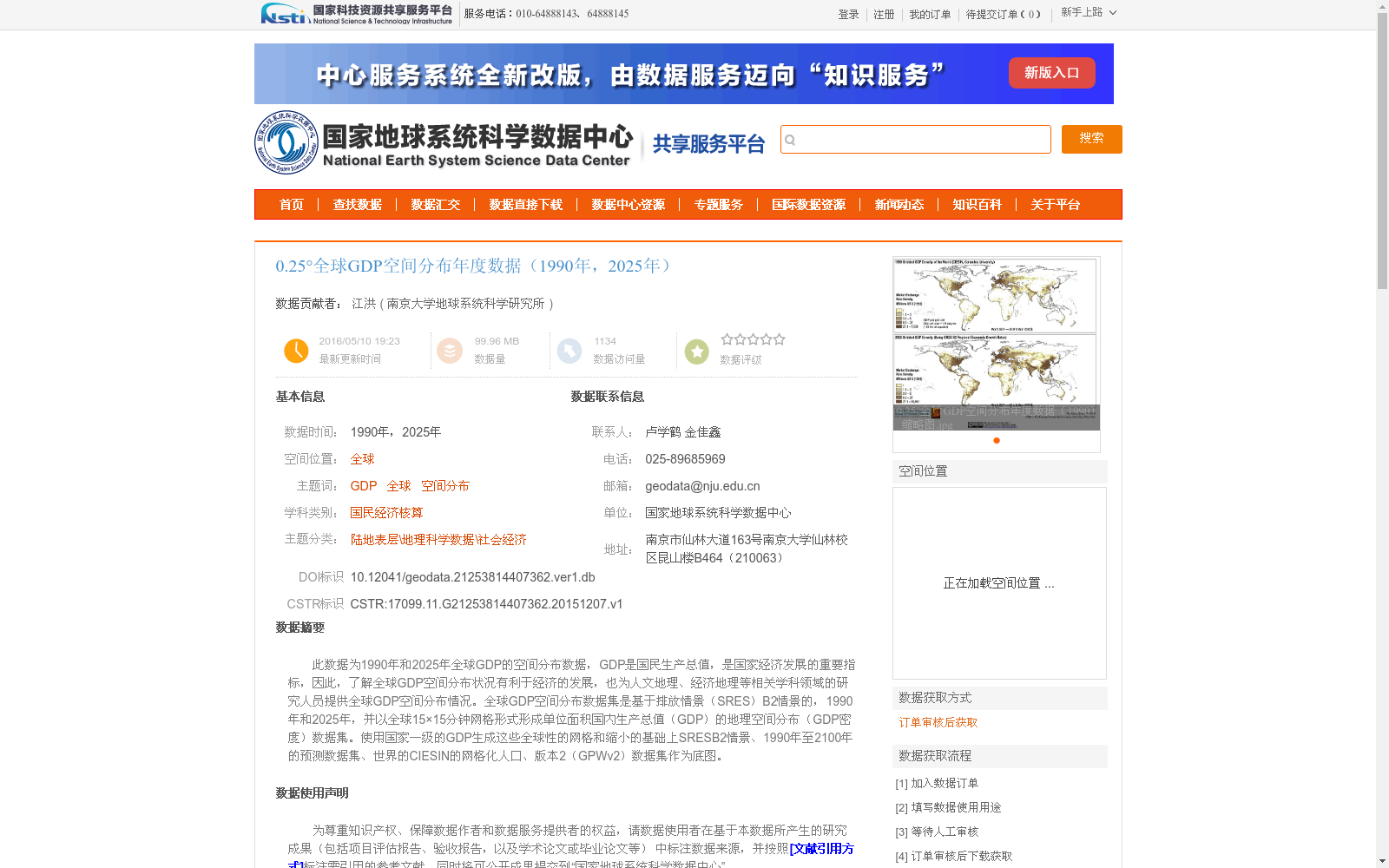
此数据为1990年和2025年全球GDP的空间分布数据,GDP是国民生产总值,是国家经济发展的重要指标,因此,了解全球GDP空间分布状况有利于经济的发展,也为人文地理、经济地理等相关学科领域的研究人员提供全球GDP空间分布情况。全球GDP空间分布数据集是基于排放情景(SRES)B2情景的,1990年和2025年,并以全球15×15分钟网格形式形成单位面积国内生产总值(GDP)的地理空间分布(GDP密度)数据集。使用国家一级的GDP生成这些全球性的网格和缩小的基础上SRESB2情景、1990年至2100年的预测数据集、世界的CIESIN的网格化人口、版本2(GPWv2)数据集作为底图。
This dataset provides spatial distribution data of global Gross Domestic Product (GDP) for the years 1990 and 2025. GDP, a core indicator of national economic development, refers to Gross Domestic Product. Understanding the global spatial distribution of GDP facilitates economic development, and also offers researchers in relevant fields such as human geography and economic geography access to global GDP spatial distribution data. This global GDP spatial distribution dataset is developed based on the Special Report on Emissions Scenarios (SRES) B2 scenario for 1990 and 2025, and presents the geospatial distribution of per-unit-area Gross Domestic Product (GDP density) in the form of a global 15×15-minute grid. The dataset is generated using national-level GDP data, combined with the SRES B2 scenario-based GDP projection dataset covering 1990 to 2100, and the Gridded Population of the World, Version 2 (GPWv2) dataset from the Center for International Earth Science Information Network (CIESIN) as the base map.
提供机构:
南京大学地球系统科学研究所
创建时间:
2015-12-07
搜集汇总
数据集介绍
背景与挑战
背景概述
该数据集提供了1990年和2025年全球GDP的空间分布信息,以0.25°(15×15分钟)网格形式呈现GDP密度,基于SRES B2排放情景生成。它主要用于支持人文地理、经济地理等领域的全球经济发展研究,数据来源于国家地球系统科学数据中心,并整合了国家一级GDP和人口数据集作为基础。
以上内容由遇见数据集搜集并总结生成


