ZooCAMNet : plankton images captured with the ZooCAM
收藏资源简介:
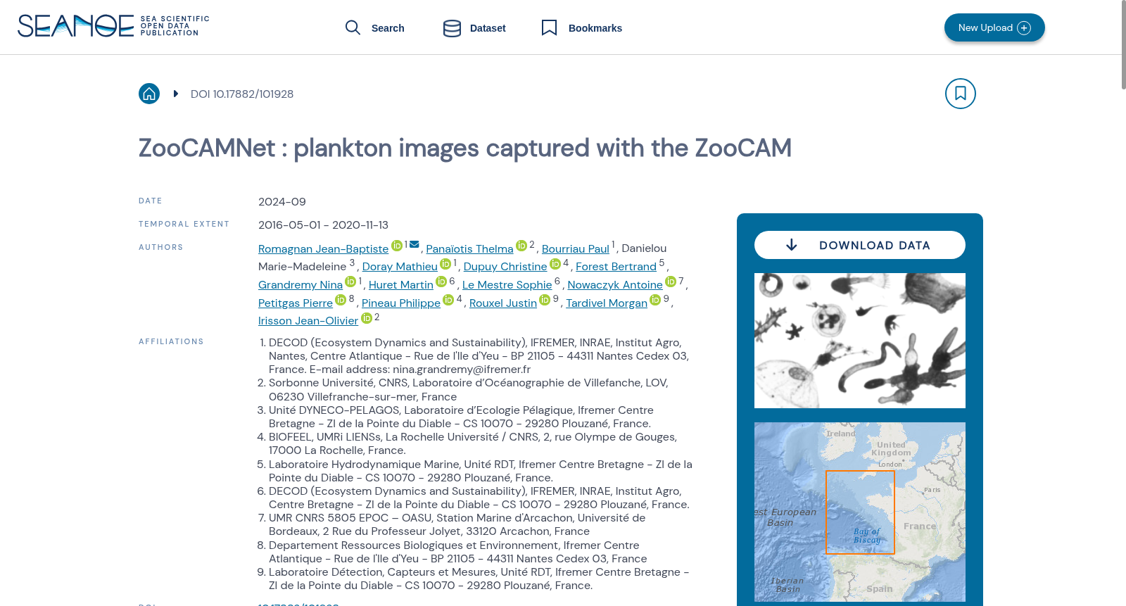
Plankton was sampled with a Continuous Underway Fish Egg Sampler (CUFES, 315µm mesh size) at 4 m below the surface, and a WP2 net (200µm mesh size) from 100m to the surface, or 5 m above the sea floor to the surface when the depth was < 100 m, in the Bay of Biscay. The full images were processed with the ZooCAM software and the embedded Matrox Imaging Library (Colas et a., 2018) which generated regions of interest (ROIs) around each individual object and a set of features measured on the object. The same objects were re-processed to compute features with the scikit-image library http://scikit-image.org. The 1, 286, 590 resulting objects were sorted by a limited number of operators, following a common taxonomic guide, into 93 taxa, using the web application EcoTaxa http://ecotaxa.obs-vlfr.fr. For the purpose of training machine learning classifiers, the images in each class were split into training, validation, and test sets, with proportions 70%, 15% and 15%. The archive contains : taxa.csv.gz Table of the classification of each object in the dataset, with columns : - objid : unique object identifier in EcoTaxa (integer number). - taxon_level1 : taxonomic name corresponding to the level 1 classification - lineage_level1 : taxonomic lineage corresponding to the level 1 classification - taxon_level2 : name of the taxon corresponding to the level 2 classification - plankton : if the object is a plankton or not (boolean) - set : class of the image corresponding to the taxon (train : training, val : validation, or test) - img_path : local path of the image corresponding to the taxon (of level 1), named according to the object id features_native.csv.gz Table of morphological features computed by ZooCAM. All features are computed on the object only, not the background. All area/length measures are in pixels. All grey levels are in encoded in 8 bits (0=black, 255=white). With columns : - area : object's surface - area_exc : object surface excluding white pixels - area_based_diameter : object's Area Based Diameter: 2 * (object_area/pi)^(1/2) - meangreyobjet : mean image grey level - modegreyobjet : modal object grey level - sigmagrey : object grey level standard deviation - mingrey : minimum object grey level - maxgrey : maximum object grey level - sumgrey : object grey level integrated density: object_mean*object_area - breadth : breadth of the object along the best fitting ellipsoid minor axis - length : breadth of the object along the best fitting ellipsoid majorr axis - elongation : elongation index: object_length/object_breadth - perim : object's perimeter - minferetdiam : minimum object's feret diameter - maxferetdiam : maximum object's feret diameter - meanferetdiam : average object's feret diameter - feretelongation : elongation index: object_maxferetdiam/object_minferetdiam - compactness : Isoperimetric quotient: the ration of the object's area to the area of a circle having the same perimeter - intercept0, intercept45 , intercept90, intercept135 : the number of times that a transition from background to foreground occurs a the angle 0ø, 45ø, 90ø and 135ø for the entire object - convexhullarea : area of the convex hull of the object - convexhullfillratio : ratio object_area/convexhullarea - convexperimeter : perimeter of the convex hull of the object - n_number_of_runs : number of horizontal strings of consecutive foreground pixels in the object - n_chained_pixels : number of chained pixels in the object - n_convex_hull_points : number of summits of the object's convex hull polygon - n_number_of_holes : number of holes (as closed white pixel area) in the object - roughness : measure of small scale variations of amplitude in the object's grey levels - rectangularity : ratio of the object's area over its best bounding rectangle's area - skewness : skewness of the object's grey level distribution - kurtosis : kurtosis of the object's grey level distribution - fractal_box : fractal dimension of the object's perimeter - hist25, hist50, hist75 : grey level value at quantile 0.25, 0.5 and 0.75 of the object's grey levels normalized cumulative histogram - valhist25, valhist50, valhist75 : sum of grey levels at quantile 0.25, 0.5 and 0.75 of the object's grey levels normalized cumulative histogram - nobj25, nobj50, nobj75 : number of objects after thresholding at the object_valhist25, object_valhist50 and object_valhist75 grey level - symetrieh :index of horizontal symmetry - symetriev : index of vertical symmetry - skelarea : area of the object skeleton - thick_r : maximum object's thickness/mean object's thickness - cdist : distance between the mass and the grey level object's centroids features_skimage.csv.gz Table of morphological features recomputed with skimage.measure.regionprops on the ROIs produced by ZooCAM. See http://scikit-image.org/docs/dev/api/skimage.measure.html#skimage.measure.regionprops for documentation. inventory.tsv Tree view of the taxonomy and number of images in each taxon, displayed as text. With columns : - lineage_level1 : taxonomic lineage corresponding to the level 1 classification - taxon_level1 : name of the taxon corresponding to the level 1 classification - n : number of objects in each taxon group map.png Map of the sampling locations, to give an idea of the diversity sampled in this dataset. imgs Directory containing images of each object, named according to the object id objid and sorted in subdirectories according to their taxon.
在比斯开湾,使用连续行进鱼卵采样器(Continuous Underway Fish Egg Sampler, CUFES,网孔尺寸315μm)在水下4米处采集浮游生物,同时采用WP2网(网孔尺寸200μm)进行分层采样:当水深≥100米时,采样层为100米至表层;当水深<100米时,采样层为海底上方5米至表层。 本数据集的全部图像通过ZooCAM软件及其内置的Matrox成像库(Matrox Imaging Library,Colas等,2018)进行处理,该流程会为每个独立目标生成感兴趣区域(Region of Interest, ROI),并提取该目标的一系列形态特征。随后使用scikit-image库(http://scikit-image.org)对相同目标进行二次处理,重新计算特征参数。 最终得到的1286590个目标,由少量标注人员按照通用分类学指南,通过在线应用EcoTaxa(http://ecotaxa.obs-vlfr.fr)划分为93个分类单元。为训练机器学习分类器,每个分类下的图像按照70%、15%、15%的比例分别划分为训练集、验证集与测试集。 本归档文件包含以下内容: 1. taxa.csv.gz:数据集内各目标的分类信息表,字段如下: - objid:EcoTaxa平台内的唯一目标标识符(整数类型) - taxon_level1:对应一级分类的分类单元名称 - lineage_level1:对应一级分类的分类层级路径 - taxon_level2:对应二级分类的分类单元名称 - plankton:布尔型字段,标识该目标是否为浮游生物 - set:目标所属的数据集子集类型(train为训练集,val为验证集,test为测试集) - img_path:对应一级分类单元的图像本地路径,文件名称由目标ID命名 2. features_native.csv.gz:由ZooCAM计算得到的目标形态特征表。所有特征仅针对目标本体提取,不包含背景。所有面积/长度单位均为像素,所有灰度值采用8位编码(0代表黑色,255代表白色),字段如下: - area:目标表面积 - area_exc:排除白色像素后的目标表面积 - area_based_diameter:基于面积的直径:2×(目标面积/π)^(1/2) - meangreyobjet:目标的平均灰度值 - modegreyobjet:目标的灰度众数 - sigmagrey:目标灰度值的标准差 - mingrey:目标灰度最小值 - maxgrey:目标灰度最大值 - sumgrey:目标灰度积分密度:目标平均灰度×目标面积 - breadth:目标在最佳拟合椭球短轴方向上的宽度 - length:目标在最佳拟合椭球长轴方向上的宽度 - elongation:伸长率指数:目标长轴宽度/短轴宽度 - perim:目标周长 - minferetdiam:目标的最小费雷特直径 - maxferetdiam:目标的最大费雷特直径 - meanferetdiam:目标的平均费雷特直径 - feretelongation:费雷特伸长率指数:目标最大费雷特直径/最小费雷特直径 - compactness:等周商:目标面积与周长相等的圆的面积之比 - intercept0、intercept45、intercept90、intercept135:目标在0°、45°、90°、135°方向上背景到前景的转换次数 - convexhullarea:目标的凸包面积 - convexhullfillratio:目标面积与凸包面积的比值 - convexperimeter:目标凸包的周长 - n_number_of_runs:目标内连续前景像素的水平行数量 - n_chained_pixels:目标内的链状像素总数 - n_convex_hull_points:目标凸包多边形的顶点数 - n_number_of_holes:目标内的孔洞数量(以闭合白色像素区域计) - roughness:目标灰度值的小尺度振幅变化量 - rectangularity:矩形度:目标面积与其最佳外接矩形面积的比值 - skewness:目标灰度分布的偏度 - kurtosis:目标灰度分布的峰度 - fractal_box:目标周长的分形维数 - hist25、hist50、hist75:目标灰度归一化累积直方图中0.25、0.5、0.75分位数对应的灰度值 - valhist25、valhist50、valhist75:目标灰度归一化累积直方图中0.25、0.5、0.75分位数对应的灰度累积和 - nobj25、nobj50、nobj75:分别以object_valhist25、object_valhist50、object_valhist75灰度值作为阈值进行二值化后的目标数量 - symetrieh:水平对称性指数 - symetriev:垂直对称性指数 - skelarea:目标骨架的面积 - thick_r:目标最大厚度与平均厚度的比值 - cdist:目标的质心与灰度重心之间的距离 3. features_skimage.csv.gz:基于ZooCAM生成的感兴趣区域,通过skimage.measure.regionprops重新计算得到的形态特征表。详细说明参见http://scikit-image.org/docs/dev/api/skimage.measure.html#skimage.measure.regionprops。 4. inventory.tsv:以文本形式展示的分类学层级树状视图,包含每个分类单元的图像数量,字段如下: - lineage_level1:对应一级分类的分类层级路径 - taxon_level1:对应一级分类的分类单元名称 - n:对应分类单元组内的目标数量 5. map.png:采样点位分布图,用于直观展示本数据集所覆盖的采样区域多样性。 6. imgs:存储所有目标图像的目录,图像文件名称由目标ID(objid)命名,并按照所属分类单元划分至子目录中。