河南省种植业区划图(1990年)
收藏国家地球系统科学数据中心2018-06-12 更新2024-03-04 收录
下载链接:
https://www.geodata.cn/data/datadetails.html?dataguid=217004823156733&docId=20375
下载链接
链接失效反馈官方服务:
资源简介:
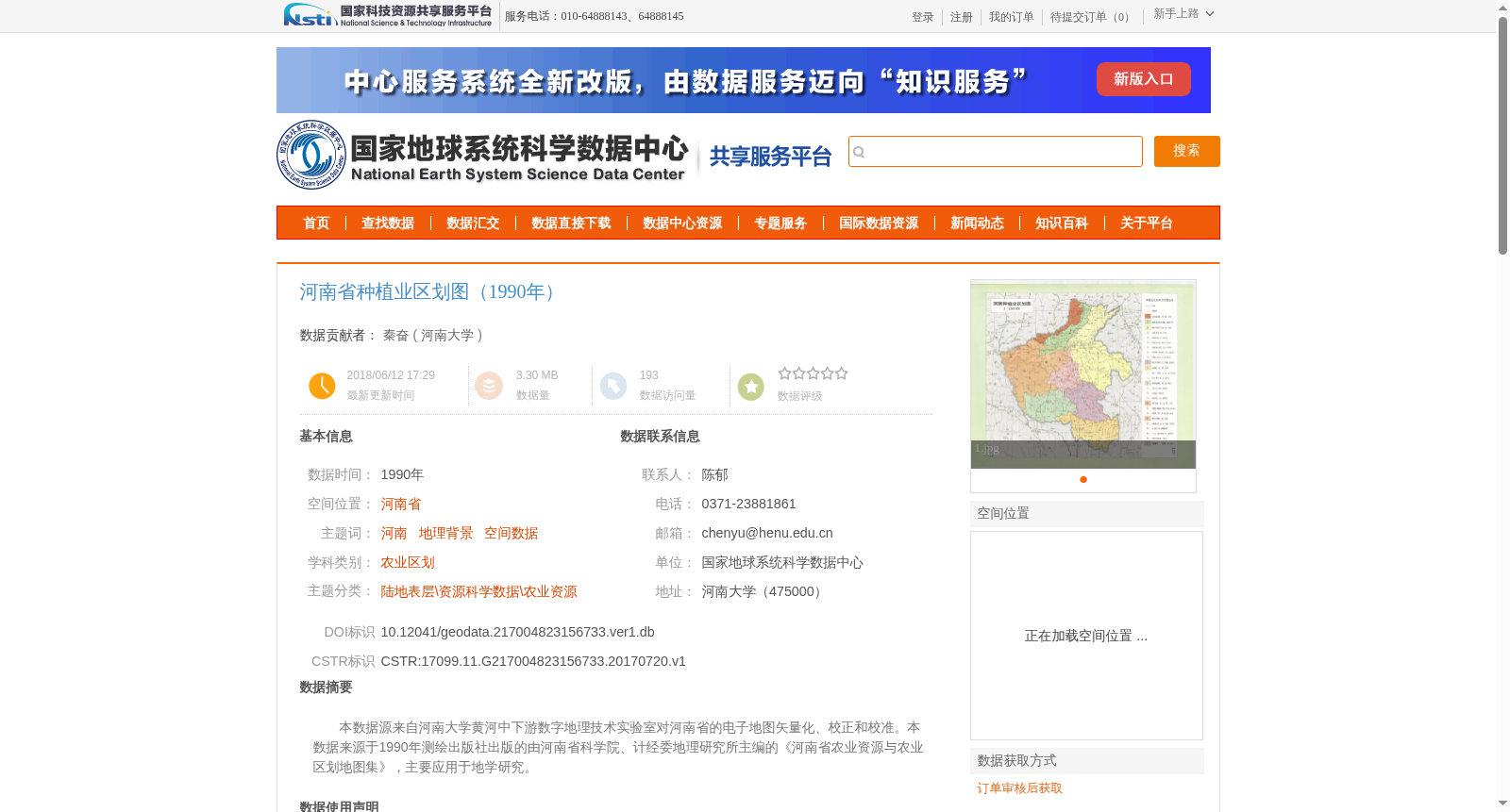
本数据源来自河南大学黄河中下游数字地理技术实验室对河南省的电子地图矢量化、校正和校准。本数据来源于1990年测绘出版社出版的由河南省科学院、计经委地理研究所主编的《河南省农业资源与农业区划地图集》,主要应用于地学研究。
This dataset originates from the vectorization, rectification and calibration of electronic maps of Henan Province conducted by the Laboratory of Digital Geographic Technologies in the Middle and Lower Reaches of the Yellow River, Henan University. It is derived from the *Atlas of Agricultural Resources and Agricultural Regionalization of Henan Province*, published by the Surveying and Mapping Press in 1990 and edited by the Henan Academy of Sciences and the Institute of Geography of the Henan Provincial Planning and Economic Commission. This dataset is primarily utilized for geoscientific research.
提供机构:
河南大学
创建时间:
2017-07-20
搜集汇总
数据集介绍
背景与挑战
背景概述
该数据集是1990年河南省的种植业区划图,基于《河南省农业资源与农业区划地图集》通过数字化处理生成,属于农业区划学科,主要用于地学研究。数据集具有明确的历史时间点、空间位置和农业资源主题,数据质量完好,采用WGS84空间投影。
以上内容由遇见数据集搜集并总结生成


