洞庭湖区水文水位站点数据集(1980-1989年)
收藏资源简介:
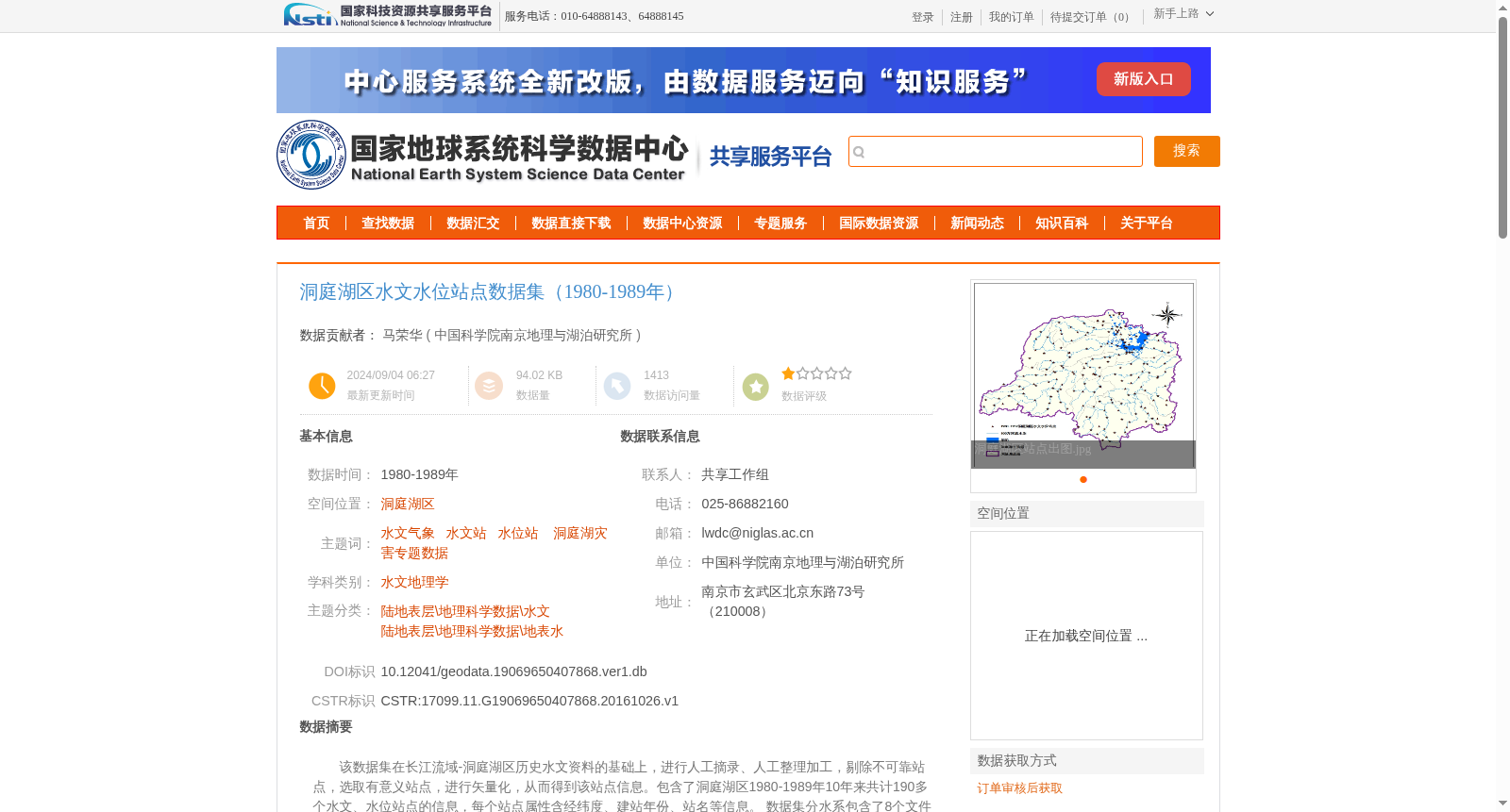
该数据集在长江流域-洞庭湖区历史水文资料的基础上,进行人工摘录、人工整理加工,剔除不可靠站点,选取有意义站点,进行矢量化,从而得到该站点信息。包含了洞庭湖区1980-1989年10年来共计190多个水文、水位站点的信息,每个站点属性含经纬度、建站年份、站名等信息。 数据集分水系包含了8个文件夹,每个文件夹分别包含了1个shp矢量文件和1个excel表格文件,以满足不同使用目的。
This dataset is developed based on historical hydrological data from the Yangtze River Basin - Dongting Lake Region, via manual extraction, processing, elimination of unreliable monitoring stations, selection of valid stations, and vectorization to generate the station information. It covers the details of over 190 hydrological and water level monitoring stations in the Dongting Lake Region across the 10-year span from 1980 to 1989, with each station's attributes encompassing latitude and longitude, year of establishment, station name, and other relevant information. The dataset is categorized by water systems into 8 folders, each holding one shapefile (.shp) vector file and one Excel spreadsheet file to cater to diverse usage needs.