five

中国30m土地利用数据集(1990-2020年)

收藏
国家地球系统科学数据中心2024-10-25 更新2024-10-26 收录
下载链接:
https://www.geodata.cn/data/datadetails.html?dataguid=20269555086380&docId=719
下载链接
链接失效反馈
资源简介:
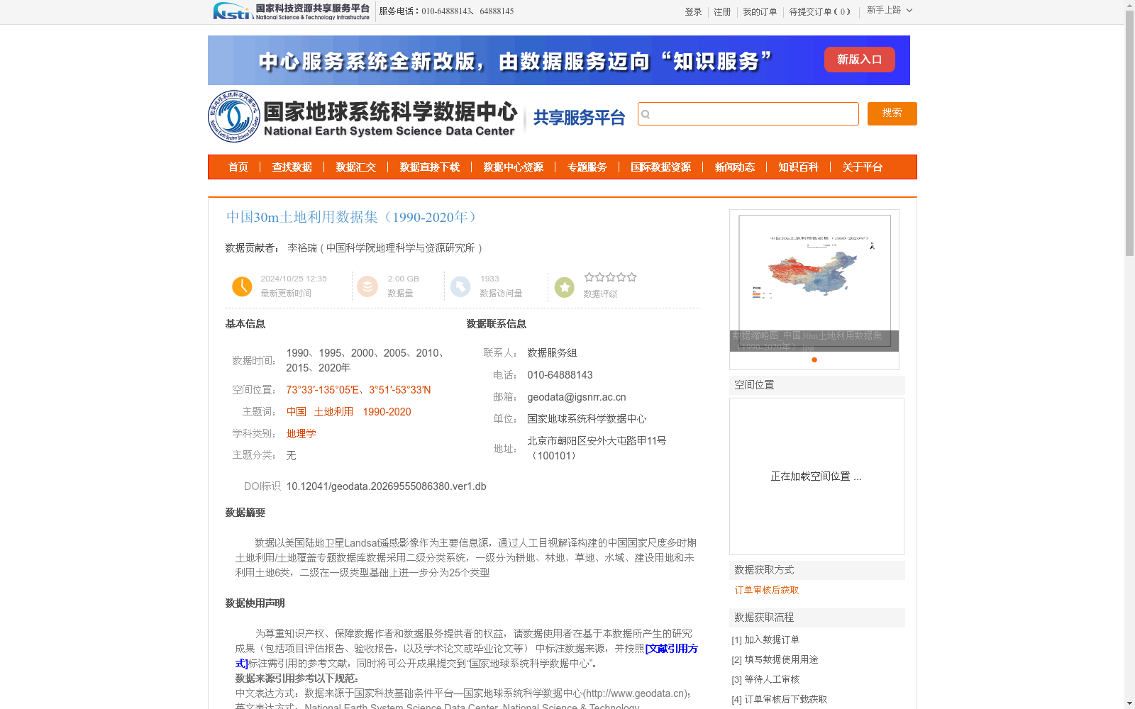
数据以美国陆地卫星Landsat遥感影像作为主要信息源,通过人工目视解译构建的中国国家尺度多时期土地利用/土地覆盖专题数据库数据采用二级分类系统,一级分为耕地、林地、草地、水域、建设用地和未利用土地6类,二级在一级类型基础上进一步分为25个类型
提供机构:
中国科学院地理科学与资源研究所
创建时间:
2024-10-25
用户留言
有没有相关的论文或文献参考?
这个数据集是基于什么背景创建的?
数据集的作者是谁?
能帮我联系到这个数据集的作者吗?
这个数据集如何下载?
点击留言
数据主题
具身智能
数据集  4098个
机构  8个
大模型
数据集  439个
机构  10个
无人机
数据集  37个
机构  6个
指令微调
数据集  36个
机构  6个
蛋白质结构
数据集  50个
机构  8个
空间智能
数据集  21个
机构  5个
5,000+
优质数据集
54 个
任务类型
进入经典数据集
热门数据集

VoxBox

VoxBox是一个大规模语音语料库,由多样化的开源数据集构建而成,用于训练文本到语音(TTS)系统。

github 收录

GME Data

关于2021年GameStop股票活动的数据,包括每日合并的GME短期成交量数据、每日失败交付数据、可借股数、期权链数据以及不同时间框架的开盘/最高/最低/收盘/成交量条形图。

github 收录

TM-Senti

TM-Senti是由伦敦玛丽女王大学开发的一个大规模、远距离监督的Twitter情感数据集,包含超过1.84亿条推文,覆盖了超过七年的时间跨度。该数据集基于互联网档案馆的公开推文存档,可以完全重新构建,包括推文元数据且无缺失推文。数据集内容丰富,涵盖多种语言,主要用于情感分析和文本分类等任务。创建过程中,研究团队精心筛选了表情符号和表情,确保数据集的质量和多样性。该数据集的应用领域广泛,旨在解决社交媒体情感表达的长期变化问题,特别是在表情符号和表情使用上的趋势分析。

arXiv 收录

DALY

DALY数据集包含了全球疾病负担研究(Global Burden of Disease Study)中的伤残调整生命年(Disability-Adjusted Life Years, DALYs)数据。该数据集提供了不同国家和地区在不同年份的DALYs指标,用于衡量因疾病、伤害和早逝导致的健康损失。

ghdx.healthdata.org 收录

全国 1∶200 000 数字地质图(公开版)空间数据库

As the only one of its kind, China National Digital Geological Map (Public Version at 1∶200 000 scale) Spatial Database (CNDGM-PVSD) is based on China' s former nationwide measured results of regional geological survey at 1∶200 000 scale, and is also one of the nationwide basic geosciences spatial databases jointly accomplished by multiple organizations of China. Spatially, it embraces 1 163 geological map-sheets (at scale 1: 200 000) in both formats of MapGIS and ArcGIS, covering 72% of China's whole territory with a total data volume of 90 GB. Its main sources is from 1∶200 000 regional geological survey reports, geological maps, and mineral resources maps with an original time span from mid-1950s to early 1990s. Approved by the State's related agencies, it meets all the related technical qualification requirements and standards issued by China Geological Survey in data integrity, logic consistency, location acc racy, attribution fineness, and collation precision, and is hence of excellent and reliable quality. The CNDGM-PVSD is an important component of China' s national spatial database categories, serving as a spatial digital platform for the information construction of the State's national economy, and providing informationbackbones to the national and provincial economic planning, geohazard monitoring, geological survey, mineral resources exploration as well as macro decision-making.

DataCite Commons 收录