lllxlll/UC_Merced
收藏资源简介:
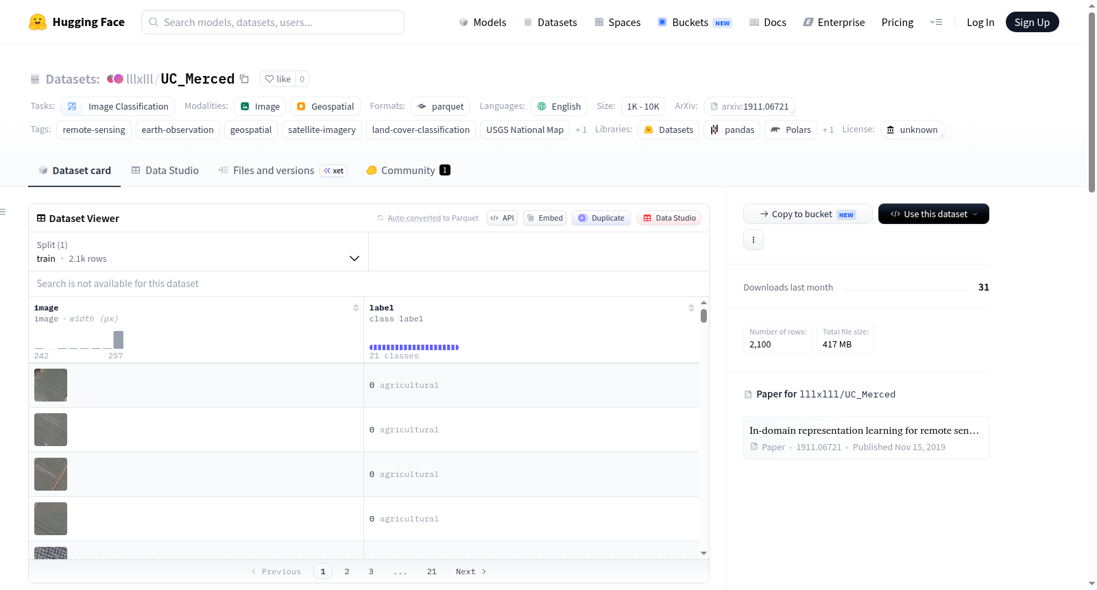
UC Merced土地利用数据集是一个土地利用分类数据集,包含2100张256x256像素、1英尺分辨率的RGB图像,这些图像提取自美国地质调查局国家地图城市区域影像集,涵盖了美国各地的城市区域。数据集包含21个土地利用类别,每个类别有100张图像。总图像数为2100,波段为3(RGB),图像大小为256x256,分辨率为0.3米,土地覆盖类别包括:农业、飞机、棒球场、海滩、建筑物、灌木丛、密集住宅区、森林、高速公路、高尔夫球场、港口、交叉路口、中等住宅区、移动房屋公园、立交桥、停车场、河流、跑道、稀疏住宅区、储油罐和网球场。数据源为美国地质调查局。
The UC Merced Land Use dataset is a land use classification dataset of 2.1k 256x256 1ft resolution RGB images of urban locations around the U.S. extracted from the USGS National Map Urban Area Imagery collection with 21 land use classes (100 images per class). Total Number of Images: 2100, Bands: 3 (RGB), Image Size: 256x256, Resolution: 0.3m, Land Cover Classes: 21, Classes: agricultural, airplane, baseballdiamond, beach, buildings, chaparral, denseresidential, forest, freeway, golfcourse, harbor, intersection, mediumresidential, mobilehomepark, overpass, parkinglot, river, runway, sparseresidential, storagetanks, tenniscourt, Source: USGS.