青藏高原无人机航拍栅格数据(2021)
收藏国家青藏高原科学数据中心2021-12-17 更新2024-02-29 收录
下载链接:
https://data.tpdc.ac.cn/zh-hans/data/3b8645d9-5c24-41a6-bc7e-d85b38216ac2
下载链接
链接失效反馈官方服务:
资源简介:
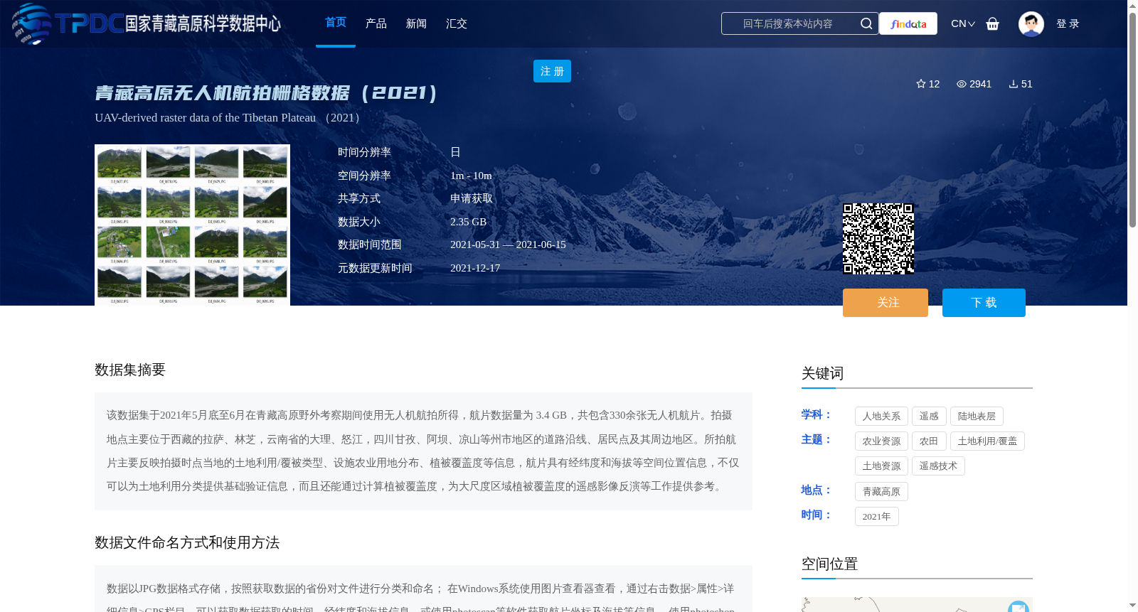
该数据集于2021年5月底至6月在青藏高原野外考察期间使用无人机航拍所得,航片数据量为 3.4 GB,共包含330余张无人机航片。拍摄地点主要位于西藏的拉萨、林芝,云南省的大理、怒江,四川甘孜、阿坝、凉山等州市地区的道路沿线、居民点及其周边地区。所拍航片主要反映拍摄时点当地的土地利用/覆被类型、设施农业用地分布、植被覆盖度等信息,航片具有经纬度和海拔等空间位置信息,不仅可以为土地利用分类提供基础验证信息,而且还能通过计算植被覆盖度,为大尺度区域植被覆盖度的遥感影像反演等工作提供参考。
This dataset was collected via unmanned aerial vehicle (UAV) aerial photography during field investigations on the Qinghai-Tibet Plateau from late May to June 2021. The total data volume of the aerial imagery is 3.4 GB, and the dataset contains over 330 UAV aerial photos. The shooting locations are primarily along roads, in settlements and their surrounding areas in prefecture-level regions including Lhasa and Nyingchi in the Tibet Autonomous Region, Dali and Nujiang in Yunnan Province, as well as Garze, Aba, Liangshan and other prefectures in Sichuan Province. The captured aerial photos mainly document local land use/land cover types, the distribution of facility agricultural land, and vegetation coverage at the time of acquisition. Each aerial image contains spatial location information such as latitude, longitude and altitude. This dataset can not only provide basic validation data for land use classification, but also serve as a reference for tasks including remote sensing-based inversion of vegetation coverage in large-scale regions through vegetation coverage calculation.
提供机构:
吕昌河,张泽民
创建时间:
2021-12-03
搜集汇总
数据集介绍
背景与挑战
背景概述
该数据集是2021年5月底至6月在青藏高原野外考察期间使用无人机航拍所得,包含330余张航片,数据量为3.4 GB,空间分辨率为1m - 10m。航片覆盖西藏、云南、四川等地区,主要用于土地利用分类和植被覆盖度计算,具有经纬度和海拔等空间位置信息。
以上内容由遇见数据集搜集并总结生成


