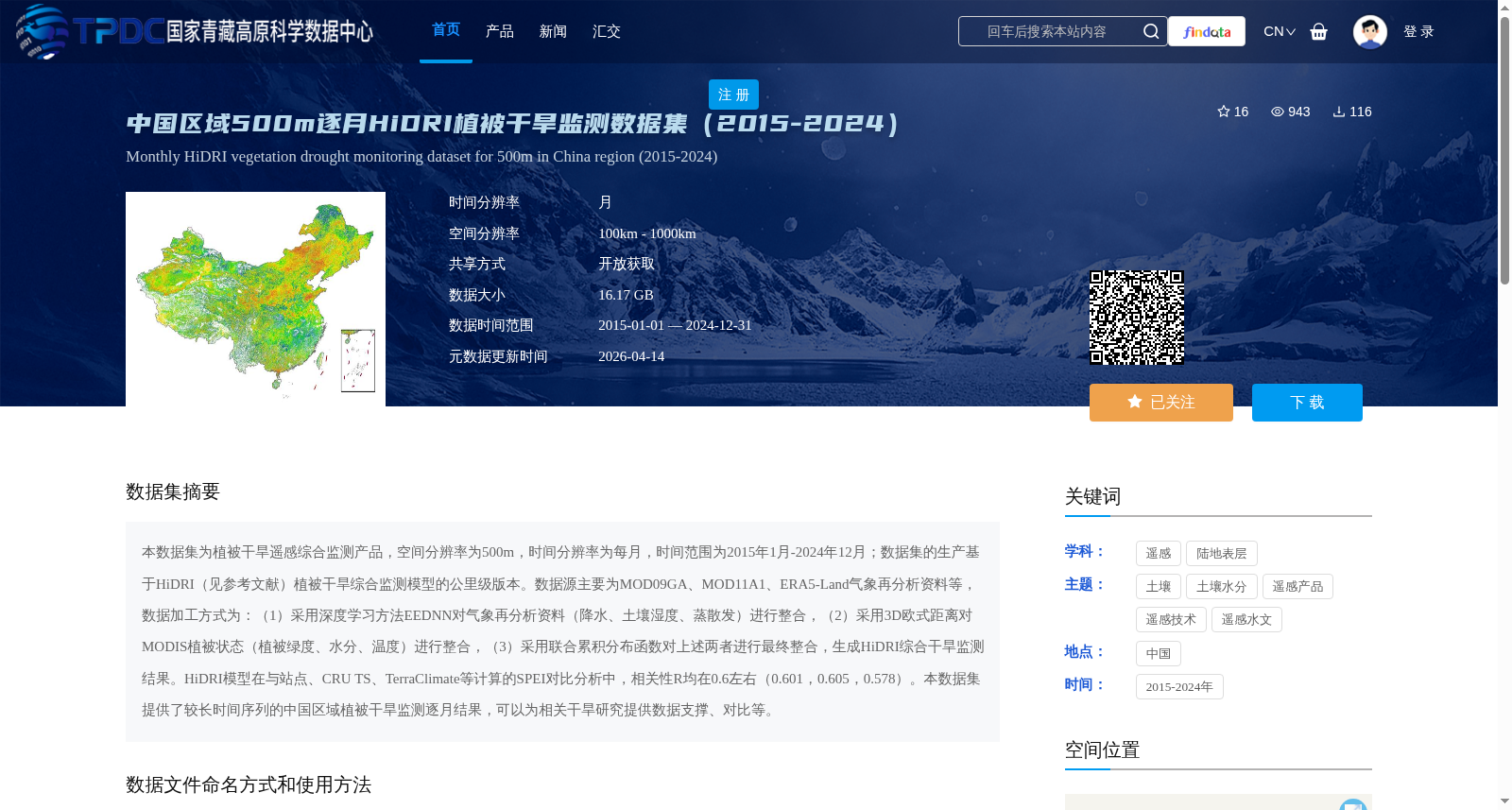
中国区域500m逐月HiDRI植被干旱监测数据集(2015-2024)
收藏资源简介:
本数据集为植被干旱遥感综合监测产品,空间分辨率为500m,时间分辨率为每月,时间范围为2015年1月-2024年12月;数据集的生产基于HiDRI(见参考文献)植被干旱综合监测模型的公里级版本。数据源主要为MOD09GA、MOD11A1、ERA5-Land气象再分析资料等,数据加工方式为:(1)采用深度学习方法EEDNN对气象再分析资料(降水、土壤湿度、蒸散发)进行整合,(2)采用3D欧式距离对MODIS植被状态(植被绿度、水分、温度)进行整合,(3)采用联合累积分布函数对上述两者进行最终整合,生成HiDRI综合干旱监测结果。HiDRI模型在与站点、CRU TS、TerraClimate等计算的SPEI对比分析中,相关性R均在0.6左右(0.601,0.605,0.578)。本数据集提供了较长时间序列的中国区域植被干旱监测逐月结果,可以为相关干旱研究提供数据支撑、对比等。
This dataset is a comprehensive remote sensing-based product for vegetation drought monitoring, with a spatial resolution of 500 m, a temporal resolution of one month, and a temporal coverage spanning from January 2015 to December 2024. The dataset is developed based on the kilometer-scale version of the HiDRI (see References) comprehensive vegetation drought monitoring model. Its main data sources include MOD09GA, MOD11A1, ERA5-Land meteorological reanalysis data, etc. The data processing procedures are as follows: (1) Integrate meteorological reanalysis data (precipitation, soil moisture, evapotranspiration) using the deep learning method EEDNN; (2) Integrate MODIS vegetation status indicators (vegetation greenness, moisture, temperature) using 3D Euclidean distance; (3) Perform final integration of the two aforementioned datasets using the joint cumulative distribution function to generate the HiDRI comprehensive drought monitoring results. In comparative analysis between the HiDRI model and SPEI values calculated from in-situ stations, CRU TS, and TerraClimate, the correlation coefficients R all remain around 0.6 (0.601, 0.605, 0.578). This dataset provides monthly vegetation drought monitoring results for China over a long time series, which can provide data support and comparison references for relevant drought research.