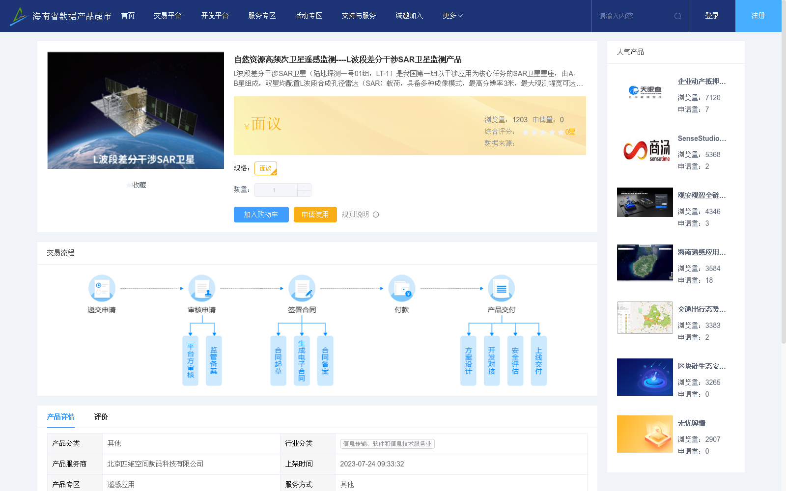
自然资源高频次卫星遥感监测----L波段差分干涉SAR卫星监测产品
收藏海南省数据产品超市2023-07-24 更新2024-03-01 收录
下载链接:
https://www.datadex.cn/app/buyApi?id=e3e65ee959ca445889642500fbfcfaf8
下载链接
链接失效反馈官方服务:
资源简介:
L波段差分干涉SAR卫星(陆地探测一号01组,LT-1)是我国第一组以干涉应用为核心任务的SAR卫星星座,由A、B星组成,双星均配置L波段合成孔径雷达(SAR)载荷,具备多种成像模式,最高分辨率3米,最大观测幅宽可达400公里。利用干涉测高和差分形变测量技术,可实现高精度、全天时、全天候地形测量、地表形变和地质灾害监测等任务,形成全球领先的地质灾害快速反应能力,为自然资源及相关行业提供重要数据与技术支撑。可提供的产品有:
1、形变产品:包括形变场产品、形变速率产品、形变时序产品;
2、地形产品:包括数字正射影像、数字表面模型数据、数字高程模型数据
The L-band differential interferometric SAR satellite constellation (Land Exploration Satellite-1 01 Group, LT-1) is China's first SAR satellite constellation taking interferometric application as its core mission. It consists of Satellite A and Satellite B, both of which are equipped with L-band synthetic aperture radar (SAR) payloads. The constellation supports multiple imaging modes, with a maximum resolution of 3 meters and a maximum observation swath of up to 400 kilometers. By leveraging interferometric altimetry and differential deformation measurement technologies, it can fulfill high-precision, all-day and all-weather topographic surveying, surface deformation monitoring, geological disaster monitoring and other tasks, establishing a globally leading rapid response capability for geological disasters and providing critical data and technical support for natural resources and related industries. The available products are as follows:
1. Deformation products: including deformation field products, deformation rate products and deformation time series products;
2. Topographic products: including digital orthophoto maps, digital surface model (DSM) data and digital elevation model (DEM) data
提供机构:
北京四维空间数码科技有限公司
创建时间:
2023-07-24
搜集汇总
数据集介绍
以上内容由遇见数据集搜集并总结生成


