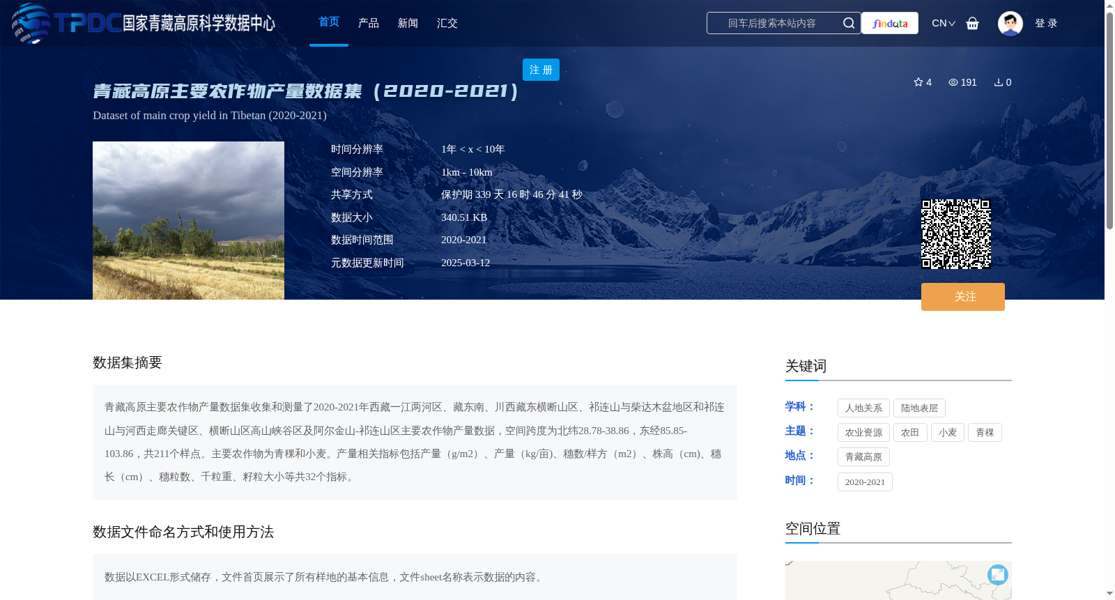
青藏高原主要农作物产量数据集(2020-2021)
收藏资源简介:
青藏高原主要农作物产量数据集收集和测量了2020-2021年西藏一江两河区、藏东南、川西藏东横断山区、祁连山与柴达木盆地区和祁连山与河西走廊关键区、横断山区高山峡谷区及阿尔金山-祁连山区主要农作物产量数据,空间跨度为北纬28.78-38.86,东经85.85-103.86,共211个样点。主要农作物为青稞和小麦。产量相关指标包括产量(g/m2)、产量(kg/亩)、穗数/样方(m2)、株高(cm)、穗长(cm)、穗粒数、千粒重、籽粒大小等共32个指标。
The Qinghai-Tibet Plateau Main Crop Yield Dataset collected and measured major crop yield data from 2020 to 2021 across multiple key regions, including the Yarlung Zangbo River and its two tributaries region in Tibet, southeastern Tibet, the Hengduan Mountainous region in eastern Sichuan and western Tibet, the Qilian Mountains and Qaidam Basin region, the key region of Qilian Mountains and Hexi Corridor, the alpine canyon region of the Hengduan Mountains, and the Altun Mountains-Qilian Mountains region. The spatial span ranges from 28.78°N to 38.86°N in latitude and 85.85°E to 103.86°E in longitude, with a total of 211 sampling sites. The main crops are highland barley (qingke) and wheat. The yield-related indicators include 32 metrics in total, such as yield (g/m²), yield (kg/mu), number of spikes per quadrat (per m²), plant height (cm), spike length (cm), number of grains per spike, 1000-grain weight, grain size, and so on.