全球土地利用数据集(1700-1990年)
收藏国家地球系统科学数据中心2020-12-22 更新2024-03-04 收录
下载链接:
https://www.geodata.cn/data/datadetails.html?dataguid=10404374955860&docId=11766
下载链接
链接失效反馈官方服务:
资源简介:
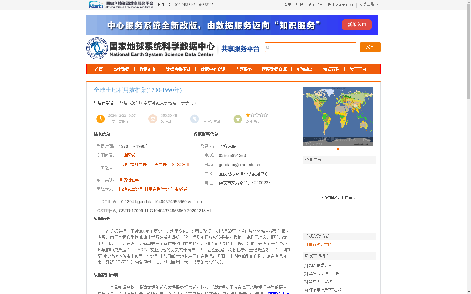
该数据集描述了近300年的历史土地利用变化。对历史数据的测试是验证全球环境变化综合模型的重要步骤。由于气候和生物地球化学系统长期滞后,这些模型的目标应该是长期模拟土地利用动态,即跨越数十年到数百年。开发此类模型需要了解过去和当前的趋势,因此强烈依赖于数据。为此,开发了一个全球环境的历史数据库:HYDE。农业用地的历史统计清单(人口普查数据,税收记录,土地调查等)和不同的空间分析技术被用来创建一个地理上明确的土地利用变化数据集,并有一个固定的时间间隔。该数据集可用于测试全球变化的综合模型。在此期间使用了大陆尺度的历史数据。
This dataset documents nearly 300 years of historical land use change. Testing against historical data is a critical step in validating integrated models of global environmental change. Owing to the long-term lags of climatic and biogeochemical systems, these models aim to simulate land use dynamics over the long term, spanning decades to centuries. Developing such models requires knowledge of past and current trends, and thus relies heavily on data. To address this need, a historical database of the global environment, HYDE, was developed. Historical statistical inventories of agricultural land (including census data, tax records, land surveys, etc.) and various spatial analysis techniques were used to create a geospatially explicit land use change dataset with fixed temporal intervals. This dataset can be used to validate integrated models of global change. Continental-scale historical data were employed during its development.
提供机构:
南京师范大学地理科学学院
创建时间:
2020-12-18
搜集汇总
数据集介绍
背景与挑战
背景概述
该数据集描述了1700年至1990年近300年的全球历史土地利用变化,主要用于验证全球环境变化综合模型。数据来源于国际卫星地表气候学项目(ISLSCP II),经过严格的质量控制和加工处理,具有较高的数据质量和逻辑一致性。
以上内容由遇见数据集搜集并总结生成


