中国逐日积雪反照率产品数据集(2000-2020)
收藏国家青藏高原科学数据中心2022-04-26 更新2024-03-07 收录
下载链接:
https://data.tpdc.ac.cn/zh-hans/data/eb7746e6-23e3-4e5f-8e99-e5b5950638b3
下载链接
链接失效反馈官方服务:
资源简介:
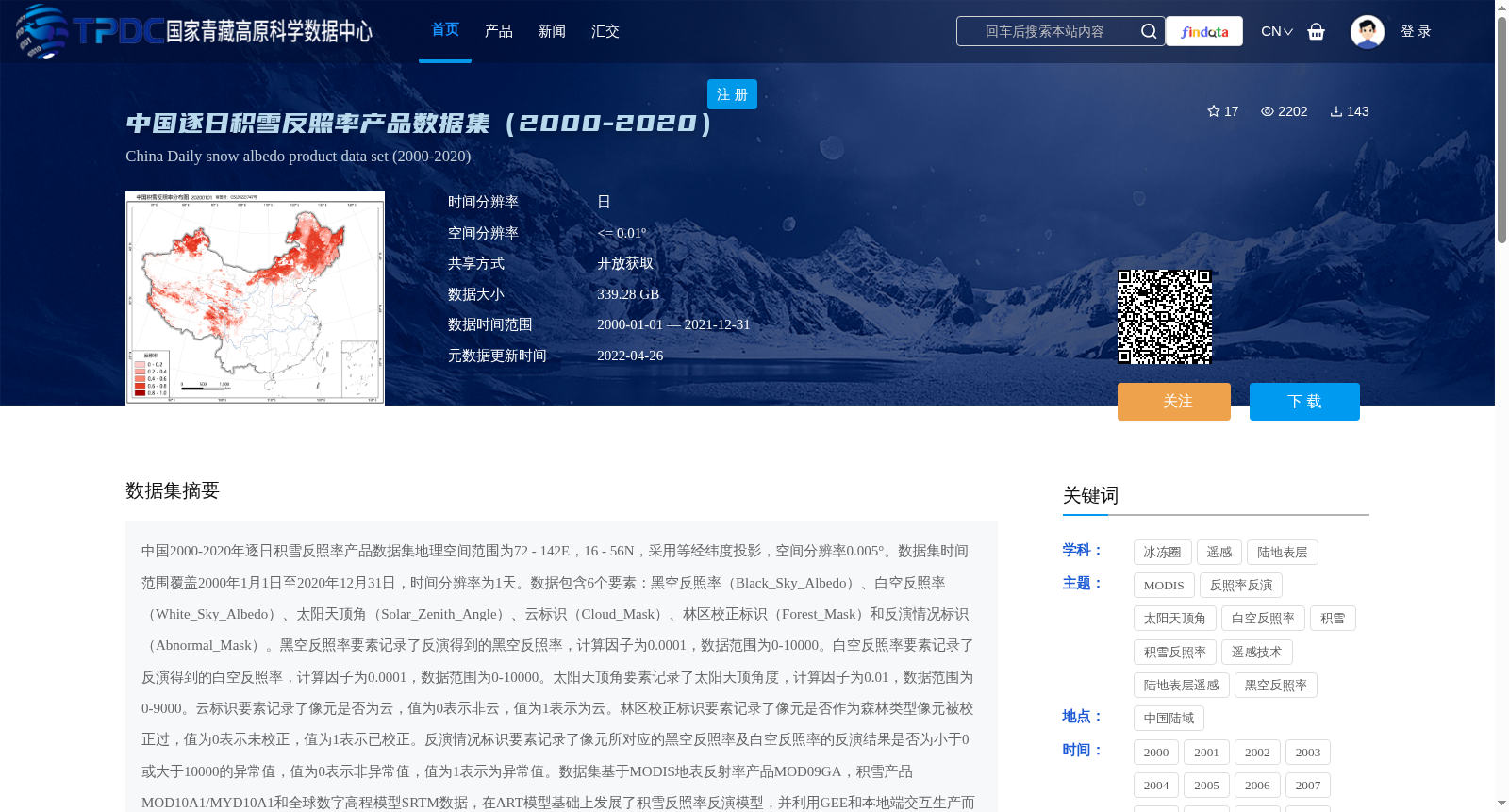
中国2000-2020年逐日积雪反照率产品数据集地理空间范围为72 - 142E,16 - 56N,采用等经纬度投影,空间分辨率0.005°。数据集时间范围覆盖2000年1月1日至2020年12月31日,时间分辨率为1天。数据包含6个要素:黑空反照率(Black_Sky_Albedo)、白空反照率(White_Sky_Albedo)、太阳天顶角(Solar_Zenith_Angle)、云标识(Cloud_Mask)、林区校正标识(Forest_Mask)和反演情况标识(Abnormal_Mask)。黑空反照率要素记录了反演得到的黑空反照率,计算因子为0.0001,数据范围为0-10000。白空反照率要素记录了反演得到的白空反照率,计算因子为0.0001,数据范围为0-10000。太阳天顶角要素记录了太阳天顶角度,计算因子为0.01,数据范围为0-9000。云标识要素记录了像元是否为云,值为0表示非云,值为1表示为云。林区校正标识要素记录了像元是否作为森林类型像元被校正过,值为0表示未校正,值为1表示已校正。反演情况标识要素记录了像元所对应的黑空反照率及白空反照率的反演结果是否为小于0或大于10000的异常值,值为0表示非异常值,值为1表示为异常值。数据集基于MODIS地表反射率产品MOD09GA,积雪产品MOD10A1/MYD10A1和全球数字高程模型SRTM数据,在ART模型基础上发展了积雪反照率反演模型,并利用GEE和本地端交互生产而来。为了评估ChinaSA的反演质量,利用地面台站的观测数据提出了样方观测验证方法,验证了积雪反照率产品的精度,并与常用的四种反照率产品(GLASS、GlobAlbedo、MCD43A3和SAD)进行了精度对比。验证结果表明,ChinaSA在所有验证中精度都优于其他产品,均方根误差小于0.12,在森林区域的均方根误差能达到0.021。
A Daily Snow Albedo Product Dataset over China (2000–2020) has a geographic spatial extent of 72°–142°E, 16°–56°N, using the equirectangular projection with a spatial resolution of 0.005°.
The temporal coverage spans from January 1, 2000 to December 31, 2020, with a daily temporal resolution. The dataset contains six variables: Black_Sky_Albedo, White_Sky_Albedo, Solar_Zenith_Angle, Cloud_Mask, Forest_Mask, and Abnormal_Mask.
The Black_Sky_Albedo layer stores the retrieved black-sky albedo, with a scaling factor of 0.0001 and a valid data range of 0–10000. The White_Sky_Albedo layer stores the retrieved white-sky albedo, with a scaling factor of 0.0001 and a valid data range of 0–10000. The Solar_Zenith_Angle layer records the solar zenith angle, with a scaling factor of 0.01 and a valid data range of 0–9000. The Cloud_Mask indicates whether a pixel is cloud-contaminated, where a value of 0 represents non-cloud and 1 represents cloud. The Forest_Mask denotes whether a pixel has undergone correction as a forest-type pixel, with 0 indicating uncorrected and 1 indicating corrected. The Abnormal_Mask identifies whether the retrieved black-sky and white-sky albedo values of the pixel are outliers (less than 0 or greater than 10000), where 0 indicates non-outlier and 1 indicates outlier.
This dataset was developed using MODIS surface reflectance product MOD09GA, snow products MOD10A1/MYD10A1, and Shuttle Radar Topography Mission (SRTM) global digital elevation model data. A snow albedo retrieval model was built upon the ART model, and the dataset was generated through collaborative processing between Google Earth Engine (GEE) and local computing terminals.
To evaluate the retrieval performance of ChinaSA (the proposed dataset), a plot-based observation validation method was proposed using ground station observational data to verify the product's accuracy. A comparative accuracy assessment was conducted against four commonly used albedo products: GLASS, GlobAlbedo, MCD43A3, and SAD. The validation results demonstrate that ChinaSA outperforms all compared products across all validation tests, with a root mean square error (RMSE) of less than 0.12, and the RMSE in forested areas can reach 0.021.
提供机构:
肖鹏峰,胡瑞,张正,秦棽
创建时间:
2022-04-06
搜集汇总
数据集介绍
背景与挑战
背景概述
该数据集覆盖中国陆域2000-2020年的逐日积雪反照率,空间分辨率为0.005°,包含黑空反照率、白空反照率等6个要素,基于MODIS等数据反演而来,验证结果表明其精度优于其他同类产品。
以上内容由遇见数据集搜集并总结生成


