粤港澳大湾区1:170万台风路径线数据(1951-2018年)
收藏国家地球系统科学数据中心2024-10-17 更新2024-10-19 收录
下载链接:
https://www.geodata.cn/data/datadetails.html?dataguid=23498673955441&docId=2413
下载链接
链接失效反馈官方服务:
资源简介:
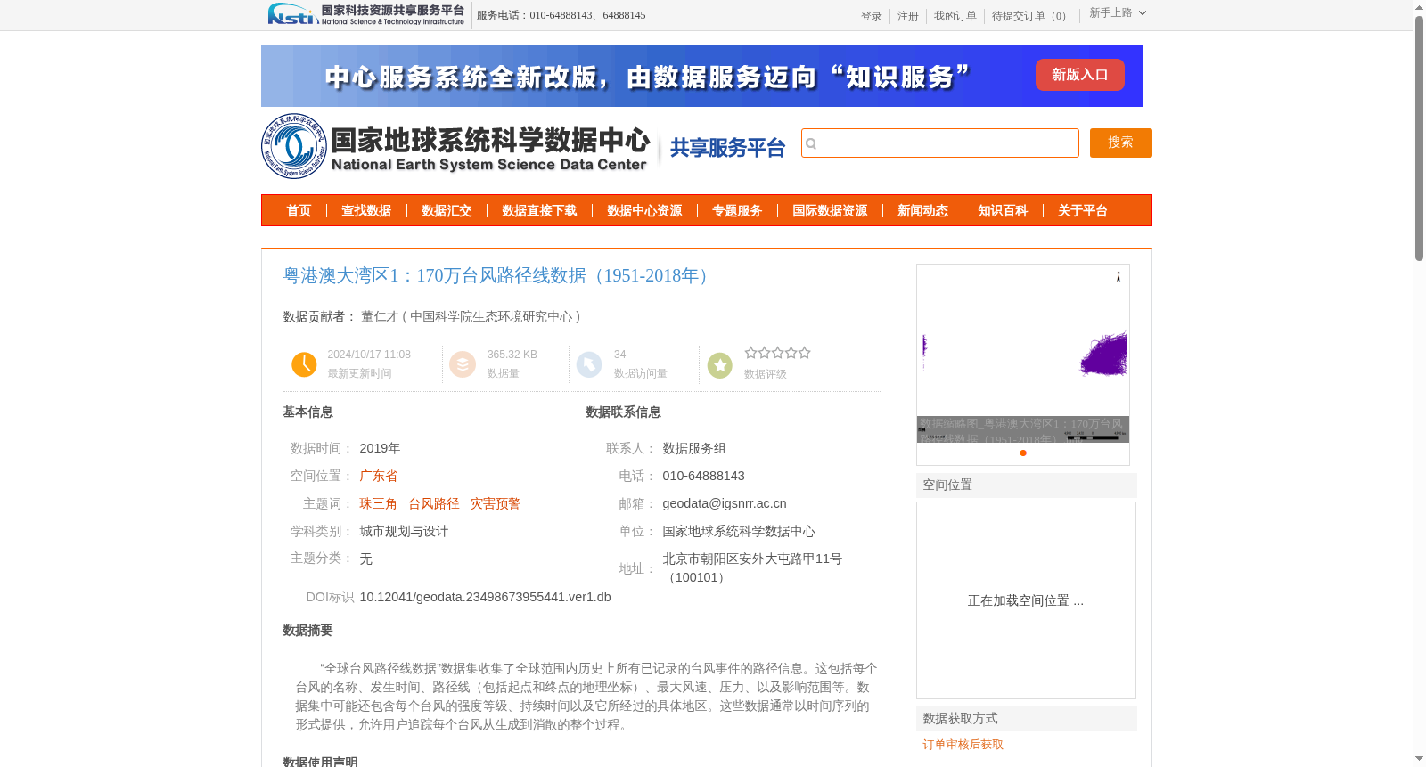
“全球台风路径线数据”数据集收集了全球范围内历史上所有已记录的台风事件的路径信息。这包括每个台风的名称、发生时间、路径线(包括起点和终点的地理坐标)、最大风速、压力、以及影响范围等。数据集中可能还包含每个台风的强度等级、持续时间以及它所经过的具体地区。这些数据通常以时间序列的形式提供,允许用户追踪每个台风从生成到消散的整个过程。
The Global Typhoon Track Line Dataset collects track information of all historically recorded typhoon events worldwide. It includes each typhoon's name, occurrence time, track lines (including geographic coordinates of their starting and ending points), maximum wind speed, atmospheric pressure, affected area, and other relevant attributes. The dataset may also contain the intensity rating, duration, and specific regions traversed by each typhoon. All data is typically provided in time-series format, enabling users to trace the complete lifecycle of each typhoon from its formation to dissipation.
提供机构:
中国科学院生态环境研究中心
创建时间:
2024-10-17
搜集汇总
数据集介绍
背景与挑战
背景概述
该数据集包含1951-2018年粤港澳大湾区的台风路径线数据,详细记录了台风的名称、时间、路径、风速等信息,数据质量经过严格审核,适用于灾害预警和城市规划研究。
以上内容由遇见数据集搜集并总结生成


