
GLIMS Glacier Database
收藏知名数据库2026-04-23 收录
数据链接:
官方服务:
资源简介:
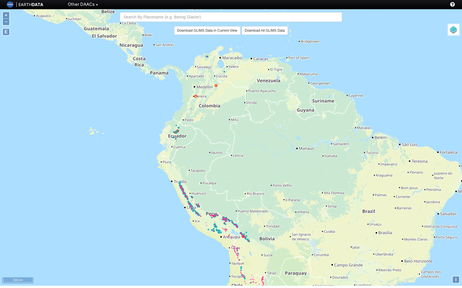
GLIMS(全球陆地冰测量空间计划)是一个国际冰川数据库。该数据库由NASA、NSIDC等机构主导建立,旨在通过卫星遥感技术对全球约20万座冰川进行持续监测,收录冰川边界、面积、变化速率等数据。数据库采用ASTER和Landsat卫星数据,时间覆盖从1850年至今。
GLIMS (Global Land Ice Measurements from Space) is an international glacier database. Co-initiated and led by institutions including NASA and NSIDC, this database aims to conduct continuous monitoring of approximately 200,000 glaciers worldwide via satellite remote sensing technology, and collects data such as glacier boundaries, area, and change rates. It utilizes data from ASTER and Landsat satellites, with a temporal coverage spanning from 1850 to the present.
提供机构:
NASA;NSIDC搜集汇总
数据集介绍
背景与挑战
背景概述
GLIMS冰川数据库是一个国际性的冰川监测项目,由NASA等机构主导,利用卫星遥感技术持续追踪全球约20万座冰川的边界、面积和变化速率等数据。该数据库覆盖时间从1850年至今,基于ASTER和Landsat卫星数据构建。
以上内容由遇见数据集搜集并总结生成


