青藏高原逐日云量及微物理数据集(2002-2022)
收藏国家青藏高原科学数据中心2025-02-17 更新2025-03-08 收录
下载链接:
https://data.tpdc.ac.cn/zh-hans/data/f786feda-4696-4fb0-ab4d-886a81793e0f
下载链接
链接失效反馈官方服务:
资源简介:
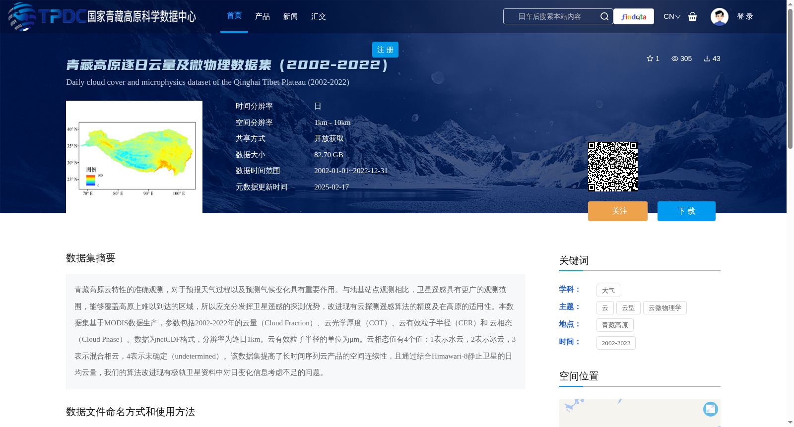
青藏高原云特性的准确观测,对于预报天气过程以及预测气候变化具有重要作用。与地基站点观测相比,卫星遥感具有更广的观测范围,能够覆盖高原上难以到达的区域,所以应充分发挥卫星遥感的探测优势,改进现有云探测遥感算法的精度及在高原的适用性。本数据集基于MODIS数据生产,参数包括2002-2022年的云量(Cloud Fraction)、云光学厚度(COT)、云有效粒子半径(CER)和 云相态(Cloud Phase)。数据为netCDF格式,分辨率为逐日1km。云有效粒子半径的单位为μm。云相态值有4个值:1表示水云,2表示冰云,3表示混合相云,4表示未确定(undetermined)。该数据集提高了长时间序列云产品的空间连续性,且通过结合Himawari-8静止卫星的日均云量,我们的算法改进现有极轨卫星资料中对日变化信息考虑不足的问题。
Accurate observations of cloud properties over the Qinghai-Tibet Plateau play a critical role in both weather forecasting and climate change prediction. Compared with ground-based station observations, satellite remote sensing offers a far broader coverage scope and can access otherwise inaccessible regions on the plateau. Therefore, it is essential to fully leverage the detection advantages of satellite remote sensing to improve the accuracy of existing cloud detection remote sensing algorithms and their applicability over the plateau.
This dataset is produced based on MODIS data, with parameters including cloud fraction, cloud optical thickness (COT), cloud effective particle radius (CER), and cloud phase covering the period from 2002 to 2022. The data is provided in netCDF format, with a spatial resolution of 1 km and a daily temporal resolution. The unit of cloud effective particle radius is μm. There are four valid values for cloud phase: 1 represents water clouds, 2 represents ice clouds, 3 represents mixed-phase clouds, and 4 represents undetermined cloud phase.
This dataset enhances the spatial continuity of long-time-series cloud products. Moreover, by incorporating the daily average cloud amount from the Himawari-8 geostationary satellite, our algorithm addresses the issue of insufficient consideration of diurnal variation information in existing polar-orbiting satellite datasets.
提供机构:
胡斯勒图,尚华哲,赵玉欣,旭日,伟乐斯,汤臣乾,包芳玲,王馨颖,邱顺文
创建时间:
2024-10-24
搜集汇总
数据集介绍
背景与挑战
背景概述
该数据集为青藏高原2002-2022年的逐日云量及微物理数据,基于MODIS数据生产,包括云量、云光学厚度、云有效粒子半径和云相态等参数,空间分辨率为1km,数据格式为netCDF。数据集通过结合Himawari-8静止卫星数据,改进了云产品的空间连续性和日变化信息考虑不足的问题。
以上内容由遇见数据集搜集并总结生成


