华夏故土疆域与政区变化数据
收藏地球大数据科学工程2024-03-04 收录
下载链接:
https://data.casearth.cn/sdo/detail/6538b2b1819aec0f26218a0c
下载链接
链接失效反馈资源简介:
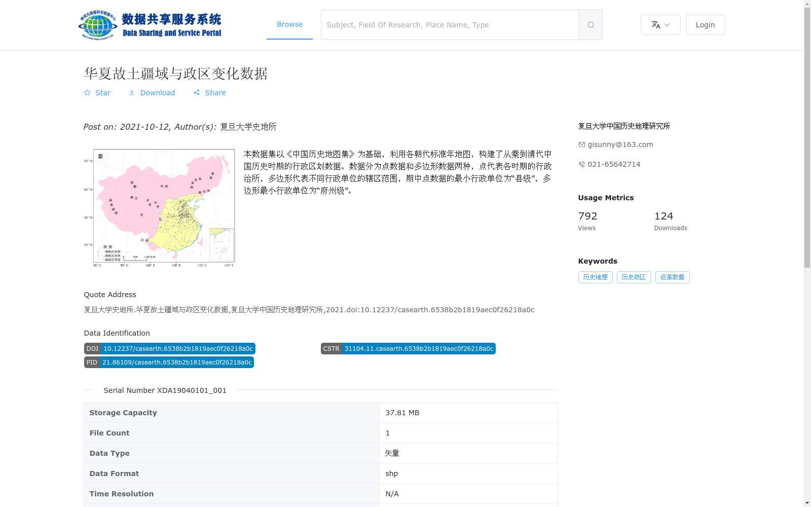
本数据集以《中国历史地图集》为基础,利用各朝代标准年地图,构建了从秦到清代中国历史时期的行政区划数据。数据分为点数据和多边形数据两种,点代表各时期的行政治所,多边形代表不同行政单位的辖区范围,期中点数据的最小行政单位为“县级”,多边形最小行政单位为“府州级”。
This dataset is developed based on the *Atlas of Historical Maps of China*, utilizing standard annual maps of each dynasty to create administrative division data for Chinese historical periods spanning from the Qin Dynasty to the Qing Dynasty. The dataset includes two categories of data: point data and polygon data. Point data represent the administrative seats of each historical period, with the smallest administrative unit being at the county level; polygon data represent the jurisdiction scopes of various administrative units, where the smallest administrative unit is at the prefecture and zhou level.
提供机构:
复旦大学中国历史地理研究所
AI搜集汇总
数据集介绍
背景与挑战
背景概述
该数据集由复旦大学中国历史地理研究所发布,基于《中国历史地图集》,系统整理了从秦代到清代中国历史时期的行政区划变化数据。数据包括点数据(代表县级行政治所)和多边形数据(代表府州级辖区范围),以矢量shp格式提供,适用于历史地理研究和政区沿革分析。
以上内容由AI搜集并总结生成


