
Carrier Routes Data
收藏Snowflake2024-04-02 更新2024-05-01 收录
下载链接:
https://app.snowflake.com/marketplace/listing/GZSTZK37HYL
下载链接
链接失效反馈官方服务:
资源简介:
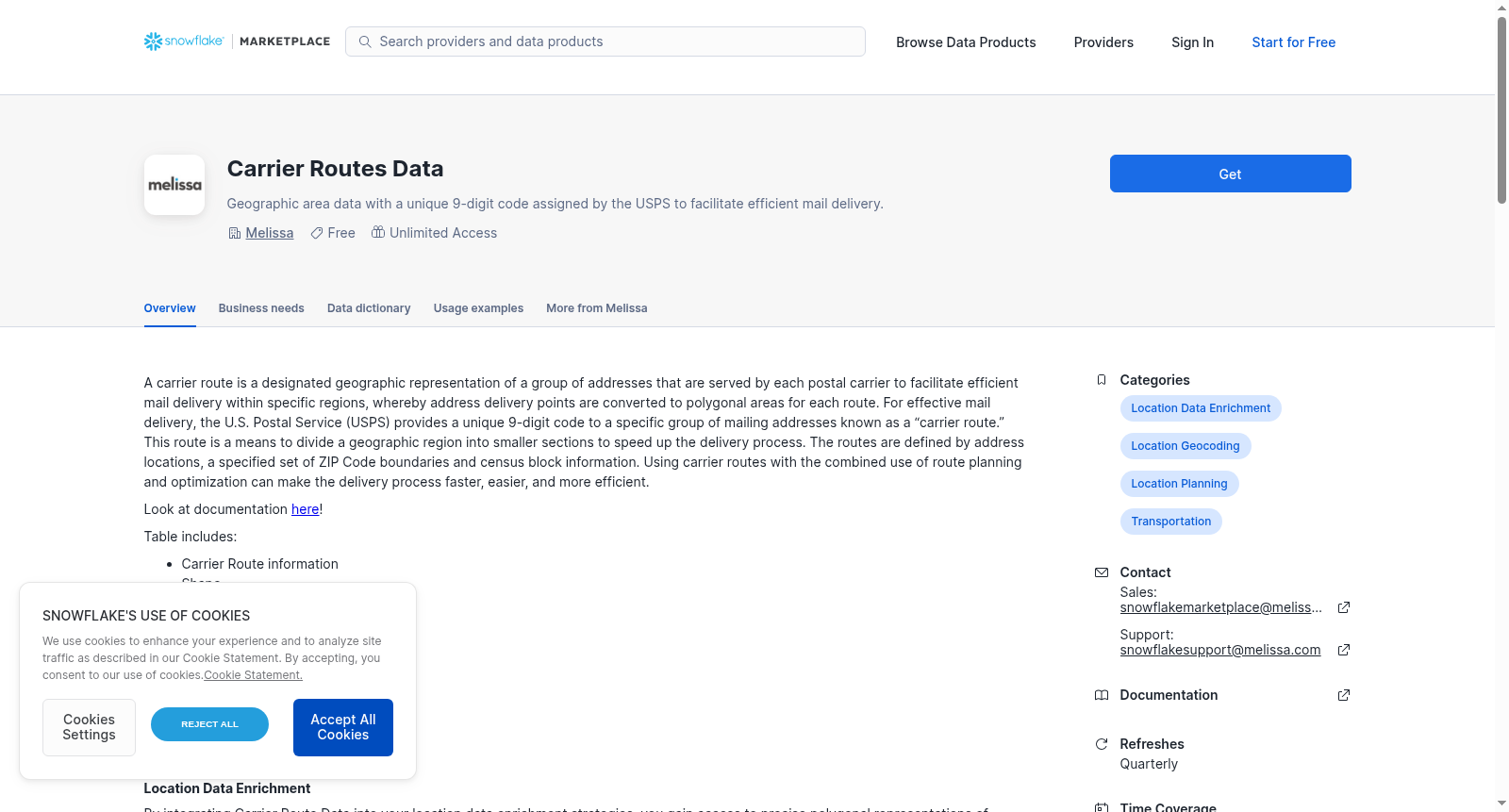
A carrier route is a designated geographic representation of a group of addresses that are served by each postal carrier to facilitate efficient mail delivery within specific regions, whereby address delivery points are converted to polygonal areas for each route. For effective mail delivery, the U.S. Postal Service (USPS) provides a unique 9-digit code to a specific group of mailing addresses known as a “carrier route.” This route is a means to divide a geographic region into smaller sections to speed up the delivery process. The routes are defined by address locations, a specified set of ZIP Code boundaries and census block information. Using carrier routes with the combined use of route planning and optimization can make the delivery process faster, easier, and more efficient.
Look at documentation [here](https://docs.melissa.com/reference-data/carrier-routes-data/carrier-routes-data-data-layout.html)!
Table includes:
- Carrier Route information
- Shape
- Latitude & Longitude coordinates
Fields included:
- ZIPCode
- CarrierRoute
- ZIPCarrierRoute
- Shape
- CenterLatitude
- CenterLongitude
提供机构:
Melissa
创建时间:
2024-03-06
搜集汇总
数据集介绍
背景与挑战
背景概述
该数据集包含美国邮政服务划分的投递路线地理信息,通过9位编码标识特定地址组,并记录多边形区域、中心坐标等空间数据,用于优化邮件投递效率。数据结构涵盖邮编、路线编码及地理形状等关键字段。
以上内容由遇见数据集搜集并总结生成



