
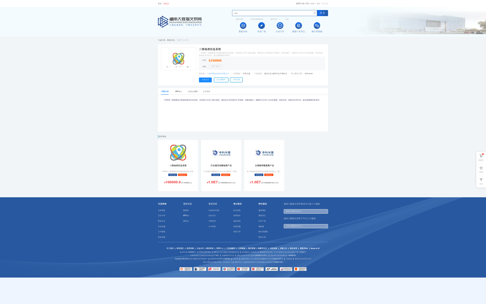
三维地理信息系统
收藏数据链接:
官方服务:
资源简介:
一种利用三维建模技术构建的地理信息系统。该系统可以用于城市规划、建筑设计和景观设计等领域。在3D GIS中,AI模型可以用于自动化建模、场景渲染、虚拟仿真等任务,提高建模精度和效率。
A geographic information system (GIS) constructed using 3D modeling technology. This system can be applied in fields such as urban planning, architectural design, and landscape design. In 3D GIS, AI models can be used for tasks including automated modeling, scene rendering, and virtual simulation, thereby improving the accuracy and efficiency of modeling.
提供机构:
云基华海信息技术有限公司创建时间:
2023-12-22
搜集汇总
数据集介绍
背景与挑战
背景概述
三维地理信息系统是一种基于三维建模技术的地理信息系统,适用于城市规划、建筑设计和景观设计等领域,利用AI模型提高建模精度和效率。
以上内容由遇见数据集搜集并总结生成


