青藏高原中部土壤温湿度多尺度观测网数据集(2010-2016)
收藏国家青藏高原科学数据中心2021-04-19 更新2024-03-06 收录
下载链接:
https://data.tpdc.ac.cn/zh-hans/data/6557f9ac-f752-474e-a156-3cfc28434cad
下载链接
链接失效反馈官方服务:
资源简介:
该数据集记录了青藏高原中部土壤温湿度观测网数据。
数据内容(数据文件、表名称,包含的观测指标内容)
(1)57个观测站点
(2)2个观测变量(土壤湿度、土壤温度)
(3)4个观测深度(0-5、10、20和40cm)
(4)3个典型空间尺度,分别对应GCM网格(1°)、被动微波卫星象元(0.3°)、以及雷达卫星象元(0.1°)
观测网的建立将为一系列水文气象研究提供支持,主要包括:提供三个空间尺度(1°、0.3°、0.1°)的土壤水分和冻融实测数据集;为土壤水分升尺度研究提供数据基础;完善那曲地区中尺度水文气象观测。
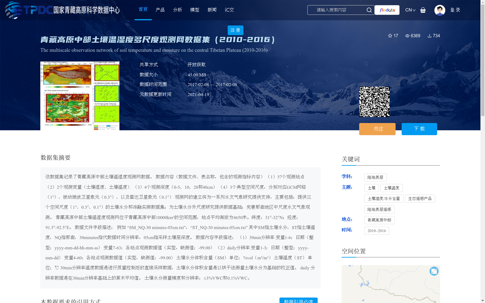
青藏高原中部土壤温湿度观测网位于青藏高原中部10000km²的空间范围,站点平均海拔为4650米。纬度:31°-32°N;经度:91.5°-92.5°E。
数据文件字段描述:
例如 “SM_NQ-30 minutes-05cm.txt”,“ST_NQ-30 minutes-05cm.txt”
其中SM指土壤水分,ST指土壤温度,NQ指那曲,30minutes指代数据时间分辨率,05cm指采样土壤层深度。
数据内容字段描述:
(1)30min分辨率
变量1-6:日期(整型:yyyy-mm-dd-hh-mm-ss)
变量7-63:各站点观测数据值(实型,缺测值:-99.00)
(2)daily分辨率
变量1-3:日期(整型:yyyy-mm-dd)
变量4-60:各站点观测数据值(实型,缺测值:-99.00)
土壤水分体积含量(SM) 单位:%vol(m³/m³)
土壤温度(ST) 单位:℃
30min分辨率温度数据是进行质量控制后的直接采样数据,土壤水分体积含量是以烘干法测量土壤水分为基础的校正值。
daily 分辨率数据是在30min分辨率基础上的算术平均值。
土壤水分测量精度和分辨率:±3%VWC和0.1%VWC。
This dataset records data from the Soil Temperature and Moisture Observation Network in the central Tibetan Plateau.
Data Content (data files, table names, and covered observation indicators):
1. 57 observation stations
2. 2 observation variables: soil moisture and soil temperature
3. 4 observation depths: 0–5 cm, 10 cm, 20 cm, and 40 cm
4. 3 typical spatial scales corresponding to GCM grid (1°), passive microwave satellite pixel (0.3°), and radar satellite pixel (0.1°)
The establishment of this observation network will support a series of hydro-meteorological studies, mainly including: providing in-situ measured soil moisture and freeze-thaw datasets at three spatial scales (1°, 0.3°, 0.1°); providing a data basis for soil moisture upscaling studies; and improving mesoscale hydro-meteorological observations in the Nagqu region.
The Soil Temperature and Moisture Observation Network in the central Tibetan Plateau covers a spatial area of 10,000 km² in the central Tibetan Plateau, with an average elevation of 4650 m across all stations. Latitude: 31°–32°N; Longitude: 91.5°–92.5°E.
#### Data File Field Description
Take "SM_NQ-30 minutes-05cm.txt" and "ST_NQ-30 minutes-05cm.txt" as examples.
Here, SM stands for soil moisture, ST stands for soil temperature, NQ stands for Nagqu, "30 minutes" refers to the data temporal resolution, and "05cm" refers to the sampled soil layer depth.
#### Data Content Field Description
1. 30-minute temporal resolution
Variables 1–6: Date (integer format: "yyyy-mm-dd-hh-mm-ss")
Variables 7–63: Observation data values from each station (real number format, missing value: -99.00)
2. Daily temporal resolution
Variables 1–3: Date (integer format: "yyyy-mm-dd")
Variables 4–60: Observation data values from each station (real number format, missing value: -99.00)
Soil moisture volume content (SM): unit is %vol (m³/m³)
Soil temperature (ST): unit is ℃
The 30-minute resolution temperature data is directly sampled post-quality-control data. The soil moisture volume content is a calibrated value based on soil moisture measured via the drying method.
The daily resolution data is the arithmetic average value calculated based on the 30-minute resolution data.
Measurement accuracy and resolution of soil moisture: ±3% VWC and 0.1% VWC.
提供机构:
阳坤,陈莹莹,赵龙,秦军,拉珠,周旭,姜尧志,田佳鑫
创建时间:
2018-07-23
搜集汇总
数据集介绍
背景与挑战
背景概述
该数据集提供了2010年至2016年青藏高原中部土壤温湿度的多尺度观测数据,覆盖57个站点、4个深度层和两个关键变量(土壤湿度和温度),支持三个空间尺度(1°、0.3°、0.1°)的研究应用。数据以高精度(土壤水分测量精度±3%VWC)和多种分辨率(30分钟和日值)呈现,旨在为水文气象研究、土壤水分升尺度分析及区域观测完善提供基础数据支撑。
以上内容由遇见数据集搜集并总结生成


