全球30米长时序不透水面制图产品与改进GISA(1985-2021)
收藏国家青藏高原科学数据中心2024-06-24 更新2024-07-01 收录
下载链接:
https://data.tpdc.ac.cn/zh-hans/data/cde790b4-8502-410d-afe5-e748cea75ea5
下载链接
链接失效反馈资源简介:
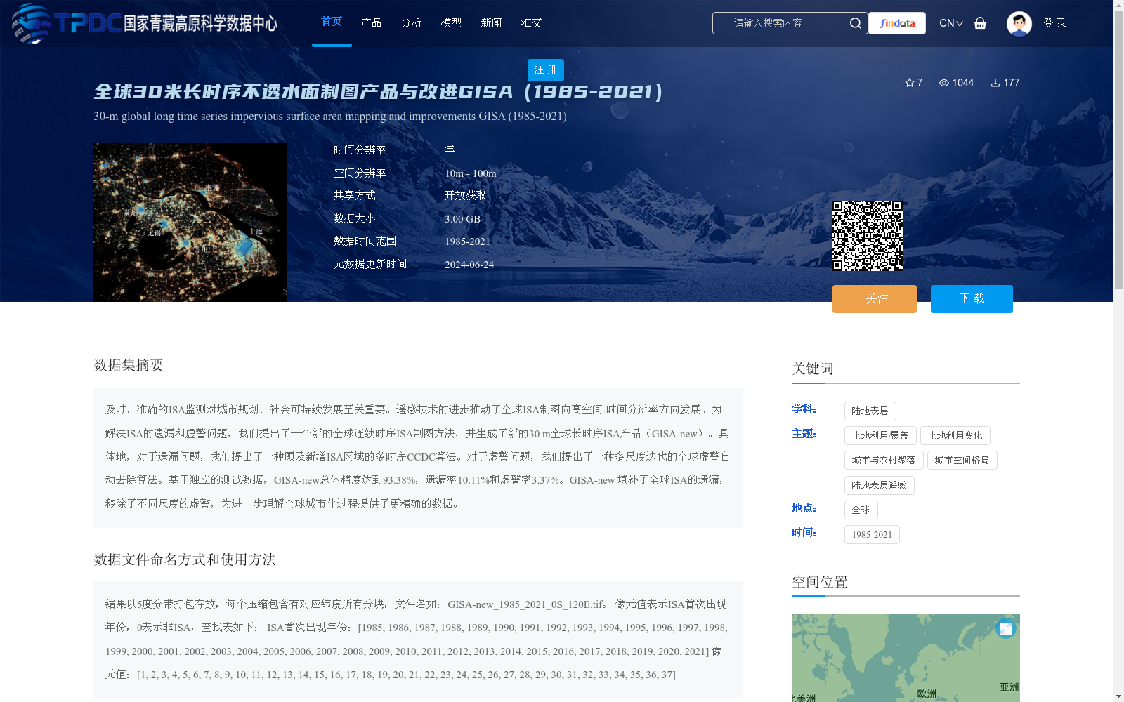
及时、准确的ISA监测对城市规划、社会可持续发展至关重要。遥感技术的进步推动了全球ISA制图向高空间-时间分辨率方向发展。为解决ISA的遗漏和虚警问题,我们提出了一个新的全球连续时序ISA制图方法,并生成了新的30 m全球长时序ISA产品(GISA-new)。具体地,对于遗漏问题,我们提出了一种顾及新增ISA区域的多时序CCDC算法。对于虚警问题,我们提出了一种多尺度迭代的全球虚警自动去除算法。基于独立的测试数据,GISA-new总体精度达到93.38%,遗漏率10.11%和虚警率3.37%。GISA-new 填补了全球ISA的遗漏,移除了不同尺度的虚警,为进一步理解全球城市化过程提供了更精确的数据。
Timely and accurate Impervious Surface Area (ISA) monitoring is critical for urban planning and social sustainable development. Advances in remote sensing technology have driven global ISA mapping toward higher spatiotemporal resolution. To address the issues of omission and false alarm in ISA mapping, we propose a novel global continuous time-series ISA mapping approach and generate a new 30 m global long-term time-series ISA product (GISA-new). Specifically, to tackle the omission problem, we propose a multi-temporal CCDC algorithm that accounts for newly emerged ISA regions. To resolve the false alarm issue, we develop a multi-scale iterative global automatic false alarm removal algorithm. Based on independent test datasets, GISA-new achieves an overall accuracy of 93.38%, with an omission rate of 10.11% and a false alarm rate of 3.37%. GISA-new fills the gaps in global ISA mapping by correcting omissions and removing false alarms across multiple scales, providing more precise data for further understanding of global urbanization processes.
提供机构:
黄昕,李家艺,任慧群,杨杰
创建时间:
2024-06-23
AI搜集汇总
数据集介绍
背景与挑战
背景概述
该数据集是一个全球30米分辨率的长时序不透水面(ISA)制图产品,覆盖1985年至2021年,旨在通过改进算法解决ISA制图中的遗漏和虚警问题,生成高精度的GISA-new产品,总体精度达93.38%。它提供年际时间分辨率和开放获取方式,数据以5度分带打包,像元值表示ISA首次出现年份,适用于城市规划、城市化过程研究等应用。
以上内容由AI搜集并总结生成


