基于Jason雷达测高卫星的全球地表水位/径流量产品(2008-2020)
收藏国家青藏高原科学数据中心2023-07-17 更新2024-03-01 收录
下载链接:
https://data.tpdc.ac.cn/zh-hans/data/16c6d3f0-caef-451e-9733-0e419db5447f
下载链接
链接失效反馈官方服务:
资源简介:
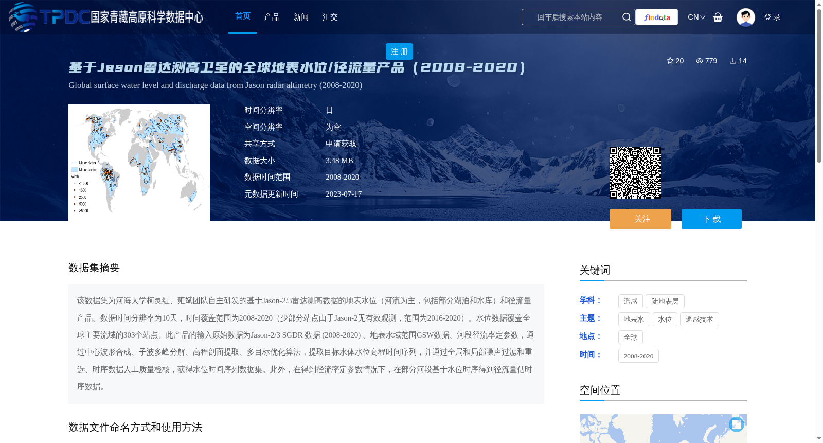
该数据集为河海大学柯灵红、雍斌团队自主研发的基于Jason-2/3雷达测高数据的地表水位(河流为主,包括部分湖泊和水库)和径流量产品。数据时间分辨率为10天,时间覆盖范围为2008-2020(少部分站点由于Jason-2无有效观测,范围为2016-2020)。水位数据覆盖全球主要流域的303个站点。此产品的输入原始数据为Jason-2/3 SGDR 数据 (2008-2020) 、地表水域范围GSW数据、河段径流率定参数,通过中心波形合成、子波多峰分解、高程剖面提取、多目标优化算法,提取目标水体水位高程时间序列,并通过全局和局部噪声过滤和重选、时序数据人工质量检核,获得水位时间序列数据集。此外,在得到径流率定参数情况下,在部分河段基于水位时序得到径流量估时序数据。
This dataset is a suite of surface water level (mainly rivers, including some lakes and reservoirs) and runoff products independently developed by the team led by Ke Linghong and Yong Bin from Hohai University, based on Jason-2/3 radar altimetry data. It has a temporal resolution of 10 days, with a total temporal coverage from 2008 to 2020. However, a small number of stations only have valid data from 2016 to 2020 due to the lack of available Jason-2 observations. The water level component covers 303 stations located across major global river basins.
The raw input data for this product suite include Jason-2/3 SGDR data (2008–2020), Global Surface Water (GSW) data for surface water extent, and runoff calibration parameters for river reaches. The processing workflow first extracts time series of water level elevations for target water bodies via central waveform synthesis, wavelet multi-peak decomposition, elevation profile extraction, and multi-objective optimization algorithms. Subsequently, the final water level time series dataset is generated after undergoing global and local noise filtering and re-selection, as well as manual quality inspection of the time series data.
In addition, when runoff calibration parameters are available, runoff estimation time series can be derived for certain river reaches based on the acquired water level time series.
提供机构:
雍斌
创建时间:
2023-07-15
搜集汇总
数据集介绍
背景与挑战
背景概述
该数据集是基于Jason-2/3雷达测高卫星数据,由河海大学柯灵红、雍斌团队自主研发的全球地表水位和径流量产品,时间覆盖2008-2020年,覆盖全球主要流域的303个站点。数据通过复杂的处理方法提取水位高程时间序列,并在部分河段提供径流量估算。
以上内容由遇见数据集搜集并总结生成


