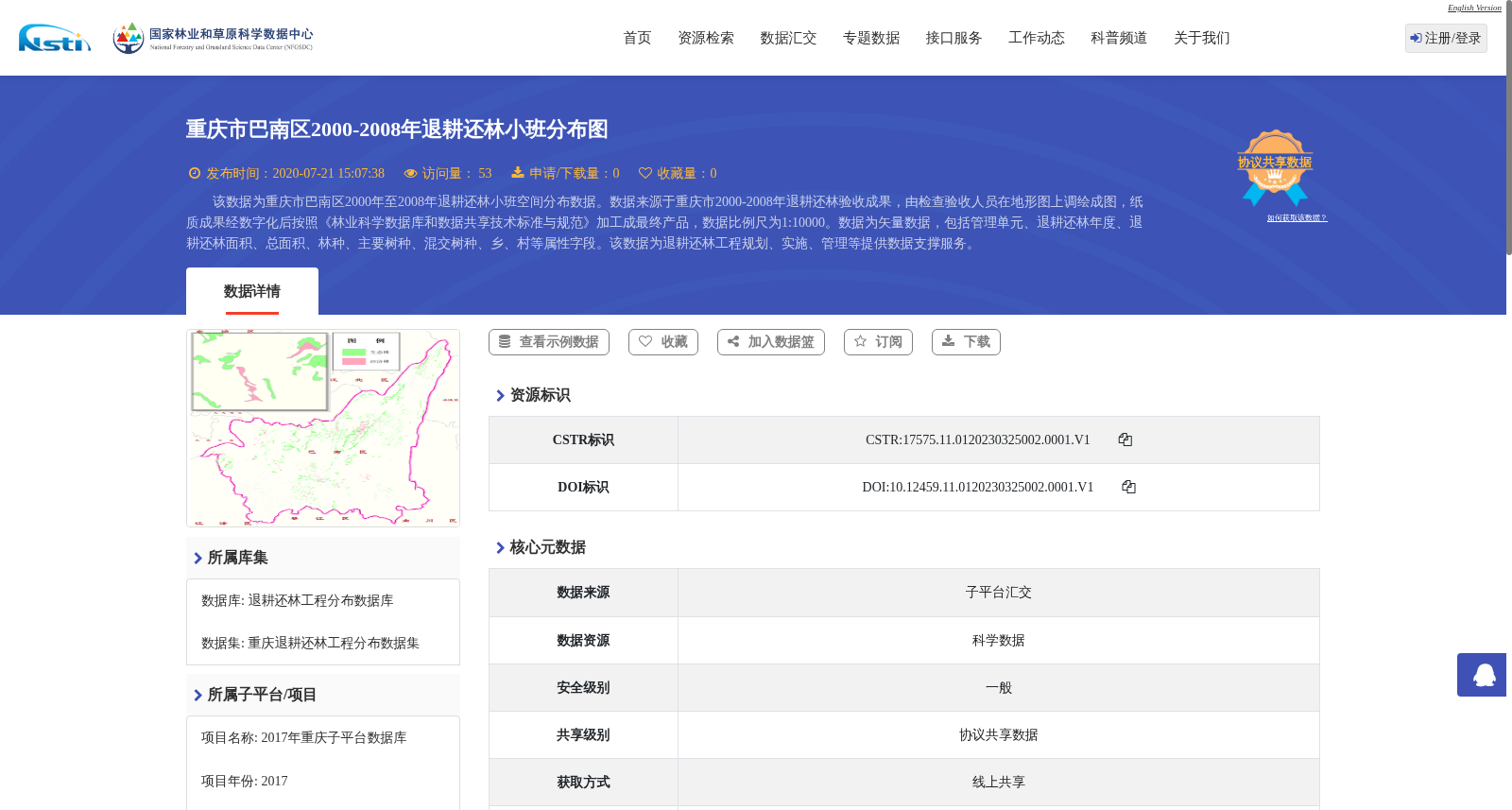
重庆市巴南区2000-2008年退耕还林小班分布图
收藏资源简介:
该数据为重庆市巴南区2000年至2008年退耕还林小班空间分布数据。数据来源于重庆市2000-2008年退耕还林验收成果,由检查验收人员在地形图上调绘成图,纸质成果经数字化后按照《林业科学数据库和数据共享技术标准与规范》加工成最终产品,数据比例尺为1:10000。数据为矢量数据,包括管理单元、退耕还林年度、退耕还林面积、总面积、林种、主要树种、混交树种、乡、村等属性字段。该数据为退耕还林工程规划、实施、管理等提供数据支撑服务。
This dataset is the spatial distribution data of grain-for-green project plots in Banan District, Chongqing Municipality from 2000 to 2008. The data is derived from the acceptance verification results of the grain-for-green project in Chongqing from 2000 to 2008. It was manually plotted on topographic maps by inspection and acceptance personnel, and the paper-based products were digitized and processed into the final dataset in compliance with the *Technical Standards and Specifications for Forestry Scientific Databases and Data Sharing*. The data has a scale of 1:10000 and is vector data, with attribute fields including management unit, grain-for-green project year, grain-for-green area, total area, forest category, main tree species, mixed tree species, township, village, and others. This dataset provides data support services for the planning, implementation and management of grain-for-green projects.