全球DUACS卫星测高数据资源(2019-2022年)
收藏国家地球系统科学数据中心2024-12-12 更新2024-12-14 收录
下载链接:
https://www.geodata.cn/data/datadetails.html?dataguid=241427435258081&docId=2068
下载链接
链接失效反馈官方服务:
资源简介:
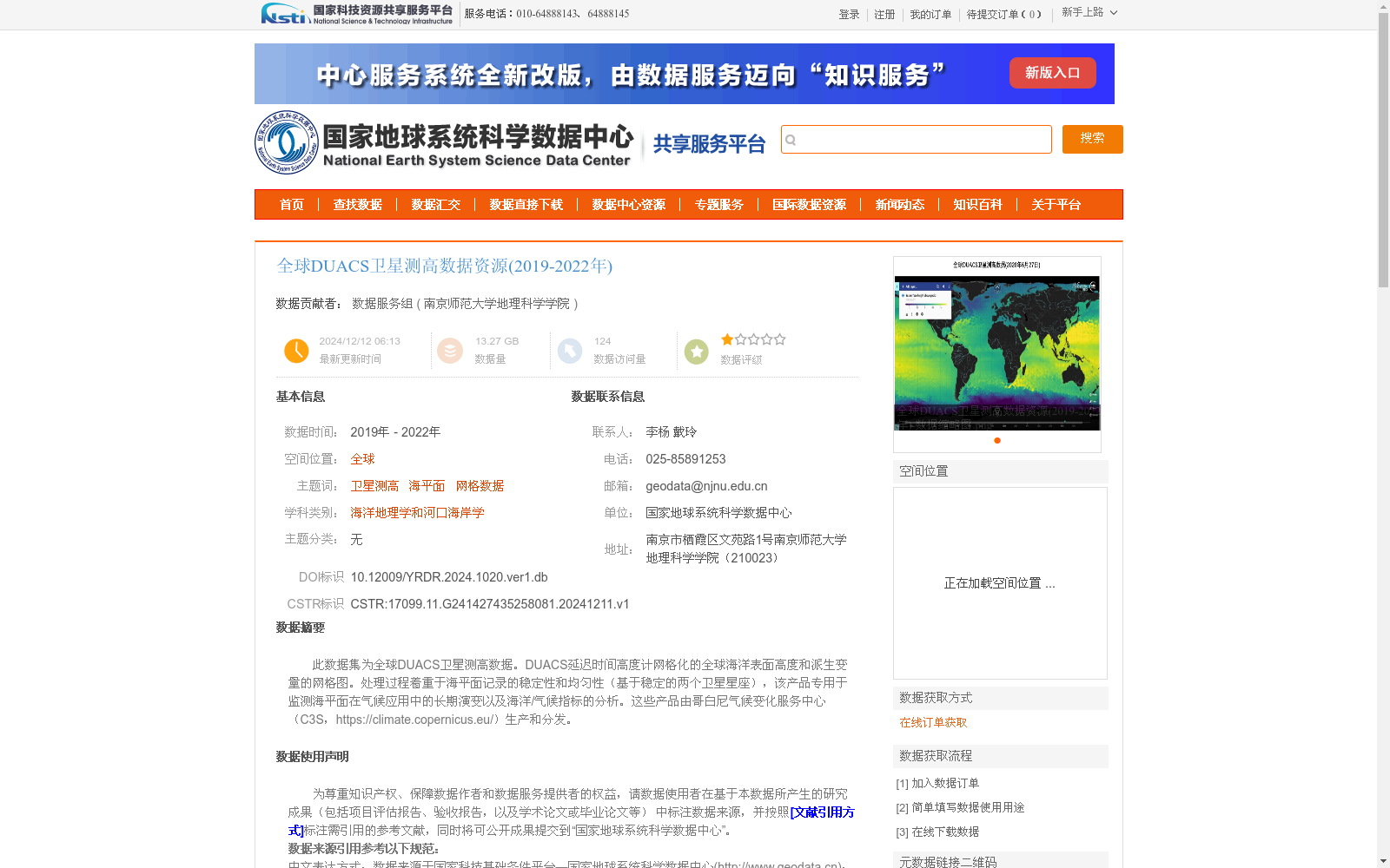
此数据集为全球DUACS卫星测高数据。DUACS延迟时间高度计网格化的全球海洋表面高度和派生变量的网格图。处理过程着重于海平面记录的稳定性和均匀性(基于稳定的两个卫星星座),该产品专用于监测海平面在气候应用中的长期演变以及海洋/气候指标的分析。这些产品由哥白尼气候变化服务中心(C3S,https://climate.copernicus.eu/)生产和分发。
This dataset is global DUACS satellite altimetry data. Specifically, it includes gridded global ocean surface heights and derived variables generated through DUACS delayed-time altimeter gridding. The processing workflow emphasizes the stability and homogeneity of sea level records, which is based on two stable satellite constellations. This product suite is dedicated to monitoring the long-term evolution of sea level for climate applications and conducting analyses of marine and climate indicators. These products are produced and distributed by the Copernicus Climate Change Service (C3S, https://climate.copernicus.eu/).
提供机构:
南京师范大学地理科学学院
创建时间:
2024-12-11
搜集汇总
数据集介绍
背景与挑战
背景概述
该数据集是2019年至2022年全球范围的DUACS卫星测高数据,提供海洋表面高度和派生变量的网格化产品,专用于监测海平面长期变化和气候指标分析。数据由哥白尼气候变化服务中心(C3S)生产,并通过国家地球系统科学数据中心发布,适用于海洋地理学和气候研究领域。
以上内容由遇见数据集搜集并总结生成


