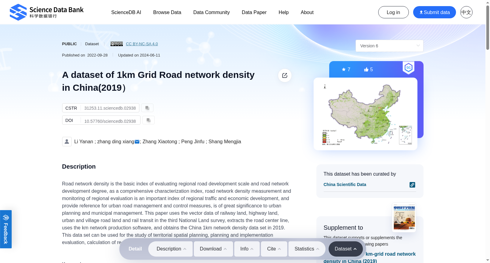
A dataset of 1km Grid Road network density in China(2019)
收藏资源简介:
Road network density is the basic index of evaluating regional road development scale and road network development degree, as a comprehensive characterization index, road network density measurement and monitoring of regional evaluation is an important index of regional traffic and economic development, and provide reference for urban road management and control measures, is of great significance to urban planning and municipal management. This paper uses the vector data of railway land, highway land, urban and village road land and rail transit in the third National Land survey, extracts the road center line, uses the km network production software, and obtains the China 1km network density data set in 2019. This data set can be used for the study of territorial spatial planning, planning and implementation evaluation, calculation of regional transportation development status factors, and accessibility calculation.
道路网密度是衡量区域道路发展规模与道路网发育程度的基础性指标。作为一项综合表征指标,道路网密度的测算与区域发展评估监测,是反映区域交通与经济发展水平的重要指标,可为城市道路管控措施提供参考,对城市规划与市政管理具有重要意义。本文采用第三次全国国土调查(Third National Land Survey)中的铁路用地、公路用地、城镇村道路用地以及轨道交通矢量数据,提取道路中心线,借助km network production软件,得到2019年中国1km分辨率道路网密度数据集。该数据集可应用于国土空间规划研究、规划实施评估、区域交通发展现状因子测算以及可达性计算相关场景。