
How Coarse Analysis Can Obscure Key Trends - A Multi-Scale Study Using Very High-Resolution Intra-Urban Land Data
收藏DataCite Commons2025-01-11 更新2024-08-26 收录
下载链接:
https://figshare.com/articles/dataset/How_Coarse_Analysis_Can_Obscure_Key_Trends_-_A_Multi-Scale_Study_Using_Very_High-Resolution_Intra-Urban_Land_Data/24303139
下载链接
链接失效反馈官方服务:
资源简介:
Land use change (LUC) mechanisms are vital for understanding change processes and policy formulation. However, most previous studies neglected intra-urban land use evolution and the influence of spatial resolution. This study designed a multi-scale LUC driver analysis framework to analyze the drivers of intra-urban land use expansion in selected cities in Hunan Province, China, and explored the impact of spatial resolution on driver analysis. First, very high-resolution intra-urban land use survey data were used to explore the driving mechanisms based on Random Forest and Spearman's correlation analysis at 2 m resolution. Then, results from other resolutions (5 m, 10 m, 30 m, 60 m, 90 m, and 120 m) were compared to the 2 m resolution. A scale effect assessment strategy based on Spearman's correlation analysis, Sen's slope, and Mann-Kendall (MK) trend test was devised to analyze the patterns of change in the driver mining results with spatial resolution. Findings reveal that economic, topographic, demographic, transportation and industrial factors predominantly drive intra-urban land use expansion, with different categories emphasizing specific factors. Analyzing intra-urban land use expansion mechanisms at low spatial resolutions can significantly distort results and render the ranking of driving elements unstable. The loss of patch information due to reduced spatial resolution is the primary cause of distorted driving factor analysis results. It is recommended that related studies use data with a resolution of 30 m or higher. These findings offer valuable insights for optimizing land use policies and serve as a reference for selecting appropriate data resolutions in future studies.
土地利用变化(Land Use Change, LUC)机制对于理解变化过程与政策制定具有重要意义。然而,既往多数研究忽视了城市内部土地利用演化过程以及空间分辨率的影响。本研究构建了多尺度土地利用变化驱动因子分析框架,以中国湖南省部分城市为研究对象,剖析其城市内部土地扩张的驱动因子,并探究空间分辨率对驱动因子分析的影响。首先,本研究以2米分辨率的超高分辨率城市内部土地利用调查数据为基础,结合随机森林(Random Forest)与斯皮尔曼相关分析方法,探究其驱动机制;随后,将5米、10米、30米、60米、90米及120米等其他分辨率下的分析结果与2米分辨率结果进行对比。本研究提出了一种基于斯皮尔曼相关分析、森斜率(Sen's Slope)与曼-肯德尔(Mann-Kendall, MK)趋势检验的尺度效应评估策略,用于分析驱动因子挖掘结果随空间分辨率变化的规律。研究结果表明,经济、地形、人口、交通与产业因子是城市内部土地扩张的主要驱动因素,不同土地扩张类型对应着差异化的主导驱动因子。采用低空间分辨率数据开展城市内部土地扩张驱动机制分析,会显著扭曲分析结果,导致驱动因子的排序出现不稳定。空间分辨率降低导致的斑块信息丢失,是驱动因子分析结果出现偏差的核心原因。本研究建议相关研究采用分辨率不低于30米的土地利用数据。本研究结果可为优化土地利用政策提供重要参考,同时也可为未来研究中合理选择数据分辨率提供依据。
提供机构:
figshare
创建时间:
2023-10-13
搜集汇总
数据集介绍
背景与挑战
背景概述
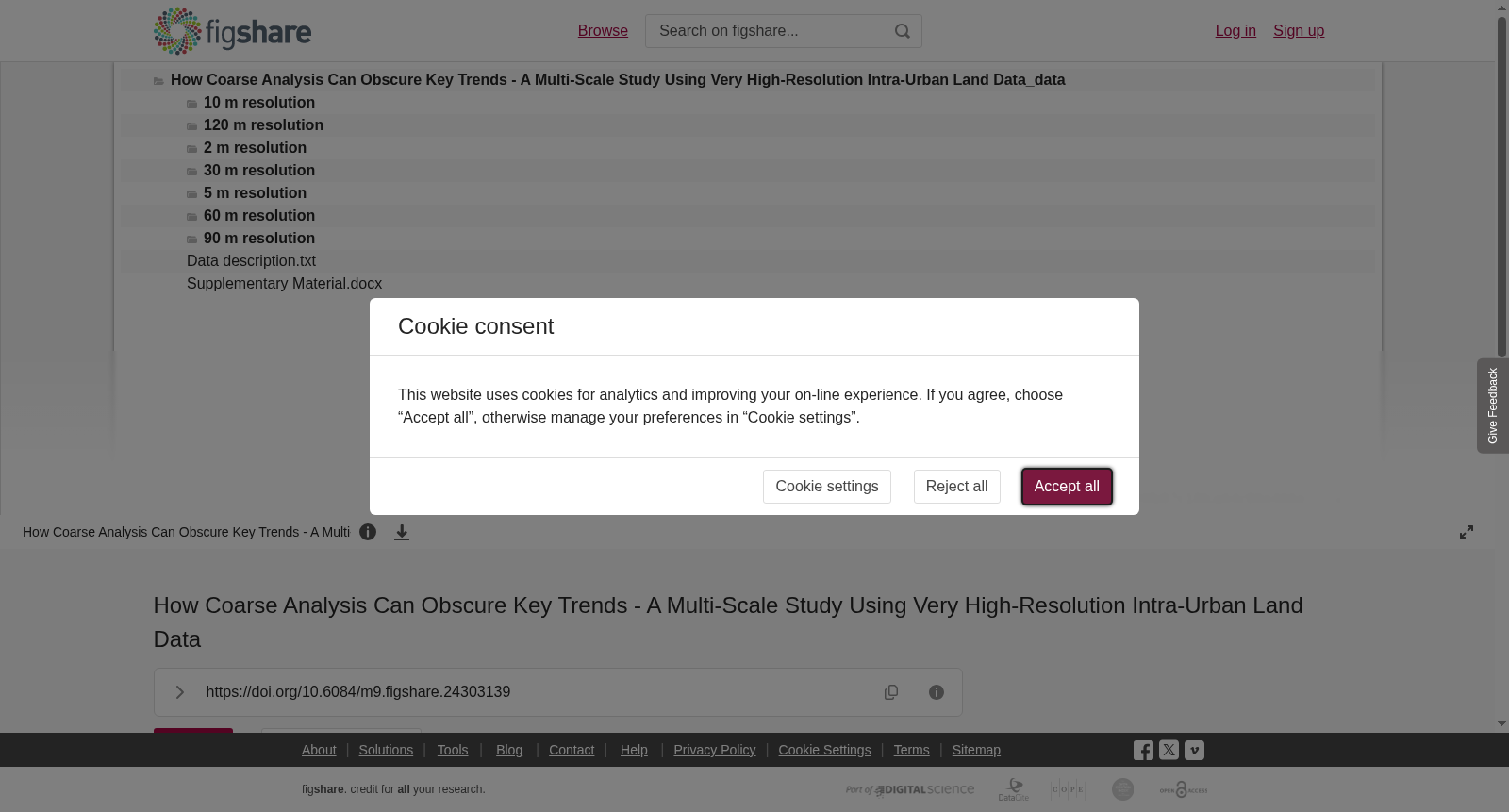
该数据集包含中国湖南省部分城市超高分辨率(2米)的城市内部土地利用调查数据,用于研究土地利用变化的驱动机制及空间分辨率对分析结果的影响。研究发现经济、地形等因素是主要驱动力,并建议相关研究使用30米或更高分辨率的数据以避免信息丢失。
以上内容由遇见数据集搜集并总结生成



