SPYSTUF hyperspectral data
收藏资源简介:
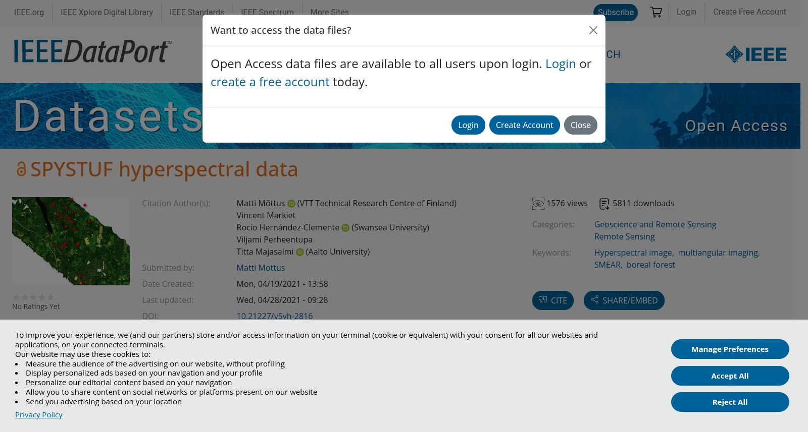
The SPYSTUF hyperspectral data contains high spatial and spectral resolution Aisa Eagle II (visible to near infrared, 400-900 nm) airborne imaging spectrometer above a Hyytiälä forest research station hosting the SMEAR II (Station for Measuring Ecosystem-Atmosphere Relations, 61°50' N, 24°17' E) on 3 July 2015. The spectral resolution of the data is 4.6 nm, and the spatial resolution 0.6 m. The data are partly multiangular with the senor tilted 30° off-nadir for two flight lines, resulting in measurements with the angle between the directions to the sensor and the sun of 19° (closest to hotspot), 55° (nadir) and 76° (dark spot). The data are processed to top-of-canopy geolocated reflectance factors and mosaicked. All mosaicked data were collected with the sensor pointing approximately nadir. The hyperspectral imagery is accompanied by data on basic forest variables and optical LAI from 20 plots in the image area, determined within appox. one week around the airborne acquisition.
SPYSTUF高光谱(hyperspectral)数据集包含2015年7月3日采集的机载观测数据:搭载Aisa Eagle II(艾莎鹰II)机载成像光谱仪,该仪器具备高空间与光谱分辨率,探测波段覆盖可见光至近红外区间(400~900 nm),采集区域为位于北纬61°50′、东经24°17′的海蒂亚拉(Hyytiälä)森林研究站,该站点设有SMEAR II(生态系统-大气关系监测站,Station for Measuring Ecosystem-Atmosphere Relations)。该数据集的光谱分辨率为4.6 nm,空间分辨率为0.6 m。部分数据为多角度观测模式:其中两条飞行航线的传感器偏离天底角30°,由此获得了传感器与太阳方向夹角分别为19°(最接近遥感热点)、55°(天底视角)与76°(暗点)的观测数据。数据集已处理为冠层顶部(top-of-canopy)地理定位反射率因子数据,并完成影像拼接;所有拼接完成的数据均采用传感器近似指向天底的模式采集。这套高光谱影像配套有影像区域内20个样地的基础森林变量数据与光学叶面积指数(LAI,Leaf Area Index)数据,此类地面实测数据于机载观测前后约一周内完成测定。