
TP_lake_salinity_data
收藏官方服务:
资源简介:
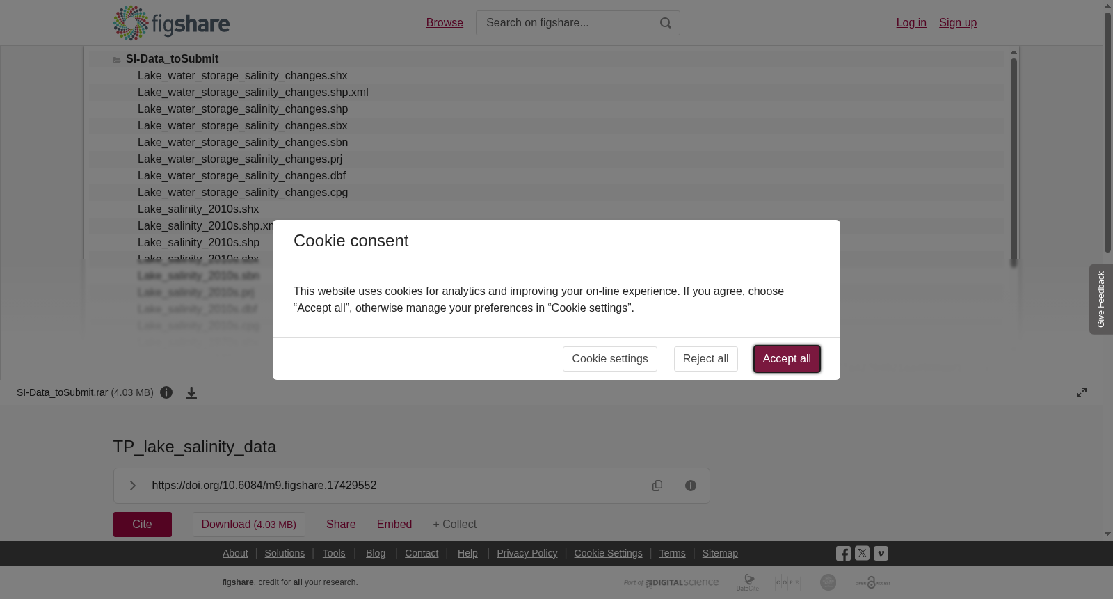
The dataset includes three ArcGIS Shapefiles, named "Lake_salinity_1970s.shp", "Lake_salinity_2010s.shp", and "Lake_water_storage_salinity_changes.shp", respectively. The geospatial data are the polygons of the examined lakes on the Tibetan Plateau, and the attribution table contains the attributes "lake areas", "lake volumes", and "water salinity".
本数据集包含三个ArcGIS 形状文件(Shapefile),分别命名为"Lake_salinity_1970s.shp"、"Lake_salinity_2010s.shp"以及"Lake_water_storage_salinity_changes.shp"。该数据集的地理空间数据为青藏高原研究湖泊的多边形矢量面要素,其属性表包含「湖泊面积」、「湖泊蓄水量」与「水体盐度」三类属性字段。
提供机构:
figshare创建时间:
2021-12-23
搜集汇总
数据集介绍
背景与挑战
背景概述
该数据集包含西藏高原湖泊的盐度及水储量变化的空间数据,涵盖1970年代和2010年代两个时期,属性信息包括湖泊面积、体积和盐度等,适用于生态、水文及气候研究。
以上内容由遇见数据集搜集并总结生成


