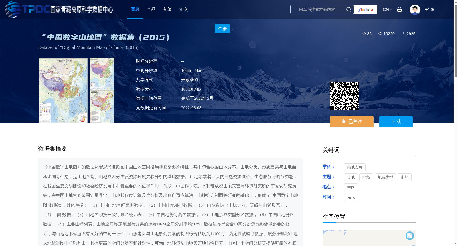
“中国数字山地图”数据集(2015)
收藏国家青藏高原科学数据中心2022-06-08 更新2024-04-26 收录
下载链接:
https://data.tpdc.ac.cn/zh-hans/data/efa1dc3f-5f2d-4e60-8bf7-3ea4c6ec1929
下载链接
链接失效反馈官方服务:
资源简介:
《中国数字山地图》的数据从宏观尺度刻画中国山地空间格局和复杂形态特征,其中包含我国山地分布、山地分类、形态要素与山地面积比例等信息,是山地区划、山地成因分类及资源环境关联分析的基础数据。
山地承载着巨大的自然资源供给、生态服务与调节功能,在我国生态文明建设和社会经济发展中有着重要的地位和作用。前期,中国科学院、水利部成都山地灾害与环境研究所的李爱农研究员等,在中国山地空间范围定量界定、山地起伏度计算尺度分析及地形自适应算法、山地综合制图等研究的基础上,形成了“中国数字山地图”数据集,具体包括:
(1)中国山地空间范围数据,(2)中国山地类型数据,(3)山脉数据(山脉走向、等级与山脊形态),(4)山峰数据,(5)山地面积按一级行政区统计表,(6)中国地势等高面数据,(7)山地形成类型分区数据,(8)中国山地分区数据,(9)主要山峰列表。山地空间界定范围与分类的原始DEM空间分辨率约90m,数据边界已套合中高分辨遥感影像做必要的修订,与山地地形晕渲图有良好的空间一致性;山脉走向与山地散列要素的制图综合精度为1∶100万,为定性的辅助数据。该数据集将山地从地貌制图中单独列出,具有更高的空间分辨率和针对性,可为山地环境及山地灾害地带性研究、山区国土空间分析等提供可靠的本底数据,服务于我国面向山区的宏观决策。
*Digital Atlas of Chinese Mountains* characterizes the spatial pattern and complex morphological features of China's mountains at a macro scale. It contains information such as the distribution, classification, morphological elements and area proportion of mountains in China, and serves as fundamental data for mountain regionalization, genetic classification of mountains and correlation analysis of resources and environment.
Mountains bear enormous natural resource supply capacity, ecological service and environmental regulation functions, and hold an important position and play a significant role in China's ecological civilization construction and socio-economic development. Earlier, researchers led by Researcher Li Ainong from the Chengdu Institute of Mountain Hazards and Environment, Chinese Academy of Sciences and Ministry of Water Resources developed the *Digital Atlas of Chinese Mountains* dataset based on studies including quantitative delimitation of China's mountain spatial scope, scale analysis of mountain relief calculation, terrain adaptive algorithms and comprehensive mountain cartography. The dataset specifically includes:
(1) Spatial scope data of China's mountains;
(2) Mountain type data of China;
(3) Mountain range data (mountain trend, grade and ridge morphology);
(4) Peak data;
(5) Statistical table of mountain area by first-level administrative divisions;
(6) Topographic contour data of China;
(7) Mountain formation type zoning data;
(8) Mountain zoning data of China;
(9) List of major peaks.
The original DEM spatial resolution of the mountain spatial delimitation and classification is approximately 90 m. The data boundaries have been properly revised by co-registering with medium- and high-resolution remote sensing images, and have good spatial consistency with mountain terrain shaded relief maps. The cartographic generalization accuracy for mountain trends and scattered mountain elements is 1:1,000,000, which serves as qualitative auxiliary data.
This dataset separately extracts mountains from geomorphic cartography, with higher spatial resolution and targetedness. It can provide reliable baseline data for studies on mountain environment, zonality of mountain hazards, territorial spatial analysis in mountainous areas and other relevant fields, and supports China's macro decision-making for mountainous regions.
提供机构:
南希,李爱农,邓伟
创建时间:
2022-06-06
搜集汇总
数据集介绍
背景与挑战
背景概述
“中国数字山地图”数据集(2015)是一个详细刻画中国山地空间格局和复杂形态特征的数据集,包含山地分布、分类、形态要素等信息。数据集空间分辨率为100m - 1km,数据大小为100.10 MB,共享方式为开放获取,适用于山地区划、山地成因分类及资源环境关联分析等研究。
以上内容由遇见数据集搜集并总结生成


