一套全球尺度高分辨率VIC模型土壤和植被参数数据集
收藏国家青藏高原科学数据中心2024-03-22 更新2025-03-08 收录
下载链接:
https://data.tpdc.ac.cn/zh-hans/data/dfc5aec6-b579-4f17-aaf4-a2169a255368
下载链接
链接失效反馈官方服务:
资源简介:
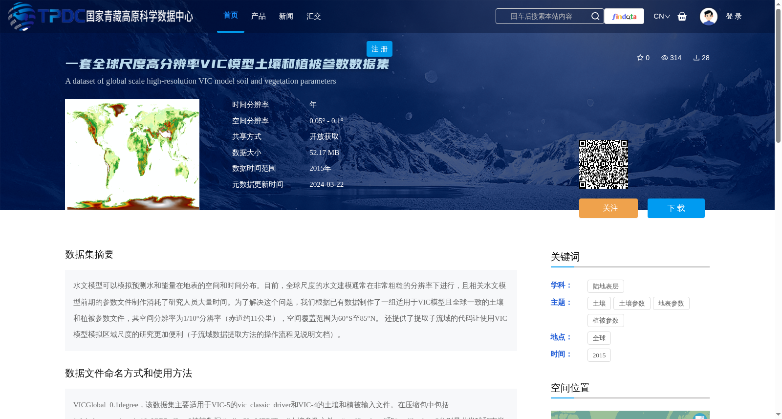
水文模型可以模拟预测水和能量在地表的空间和时间分布。目前,全球尺度的水文建模通常在非常粗糙的分辨率下进行,且相关水文模型前期的参数文件制作消耗了研究人员大量时间。为了解决这个问题,我们根据已有数据制作了一组适用于VIC模型且全球一致的土壤和植被参数文件,其空间分辨率为1/10°分辨率(赤道约11公里),空间覆盖范围为60°S至85°N。 还提供了提取子流域的代码让使用VIC模型模拟区域尺度的研究更加便利(子流域数据提取方法的操作流程见说明文档)。
Hydrological models can simulate and predict the spatial and temporal distributions of water and energy on the Earth's surface. Currently, global-scale hydrological modeling is usually conducted at very coarse resolutions, and the preparation of prior parameter files for such hydrological models consumes a substantial amount of researchers' time. To address this issue, we developed a set of globally consistent soil and vegetation parameter files tailored for the VIC model based on existing datasets. These files have a spatial resolution of 1/10° (approximately 11 km at the equator) and a spatial coverage ranging from 60°S to 85°N. Additionally, code for subbasin extraction is provided to facilitate regional-scale simulation studies using the VIC model. The operational workflow of the subbasin data extraction method is detailed in the accompanying documentation.
提供机构:
刘雨
创建时间:
2024-03-21
搜集汇总
数据集介绍
背景与挑战
背景概述
该数据集是一套全球尺度高分辨率VIC模型土壤和植被参数数据集,空间分辨率为0.05°-0.1°(约11公里),覆盖60°S至85°N范围,时间基准为2015年。它提供了统一的土壤和植被参数文件,旨在简化水文建模前期准备工作,并附带子流域提取代码,便于区域尺度模拟应用。
以上内容由遇见数据集搜集并总结生成


