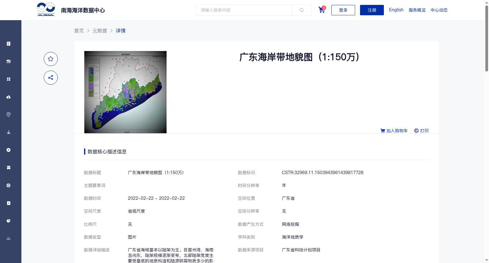
广东海岸带地貌图(1:150万)
收藏资源简介:
广东省海域基本以陆架为主。自雷州湾、海南岛向东,陆架规模逐渐变窄,北部陆架宽度主要受基底的地质构造和陆源碎屑物质多少的影响,广东东部外海在地质构造上是东沙隆起往北的延伸,基底原始地形拗曲较深,影响沉积物的沉积,导致陆架坡度相对较大,陆架宽度相对较窄。珠江口以西陆架较宽,则是因为珠江水系的大量陆源碎屑物质往水下输送堆积,形成的水下三角洲不断向外延伸堆积的结果。陆架的三级地貌类型可分为侵蚀-堆积平原、陆架堆积平原和大型浅滩等,四级地貌为沙坡与沙丘、古河道、古三角洲等。广东、台湾陆架内水下浅滩众多,以台湾浅滩最大。
The sea areas of Guangdong Province are mainly dominated by continental shelves. From Leizhou Bay and Hainan Island eastward, the scale of the continental shelves gradually narrows. The width of the northern continental shelves is mainly affected by the geological structure of the basement and the quantity of terrigenous clastic materials. The open sea area in eastern Guangdong is, in terms of geological structure, the northward extension of the Dongsha Uplift, where the original basement topography has relatively deep flexures that restrict sediment deposition, resulting in a relatively steep slope and narrow width of the continental shelves. The continental shelves west of the Pearl River Estuary are relatively wide, which is formed by continuous outward extension and accumulation of the subaqueous delta built by the massive terrigenous clastic materials transported and deposited underwater by the Pearl River system. The third-order geomorphic types of continental shelves can be categorized into erosion-accumulation plains, continental shelf accumulation plains and large-scale shoals, while the fourth-order geomorphic types include sand waves and dunes, ancient river channels and ancient deltas. There are numerous subaqueous shoals on the continental shelves of Guangdong and Taiwan, with the Taiwan Shoal being the largest one.