陕西省1:10万土地利用数据集(2000)
收藏国家青藏高原科学数据中心2020-06-10 更新2024-03-01 收录
下载链接:
https://data.tpdc.ac.cn/zh-hans/data/4f3e7ad8-bed9-41c2-945e-a4312555edca
下载链接
链接失效反馈官方服务:
资源简介:
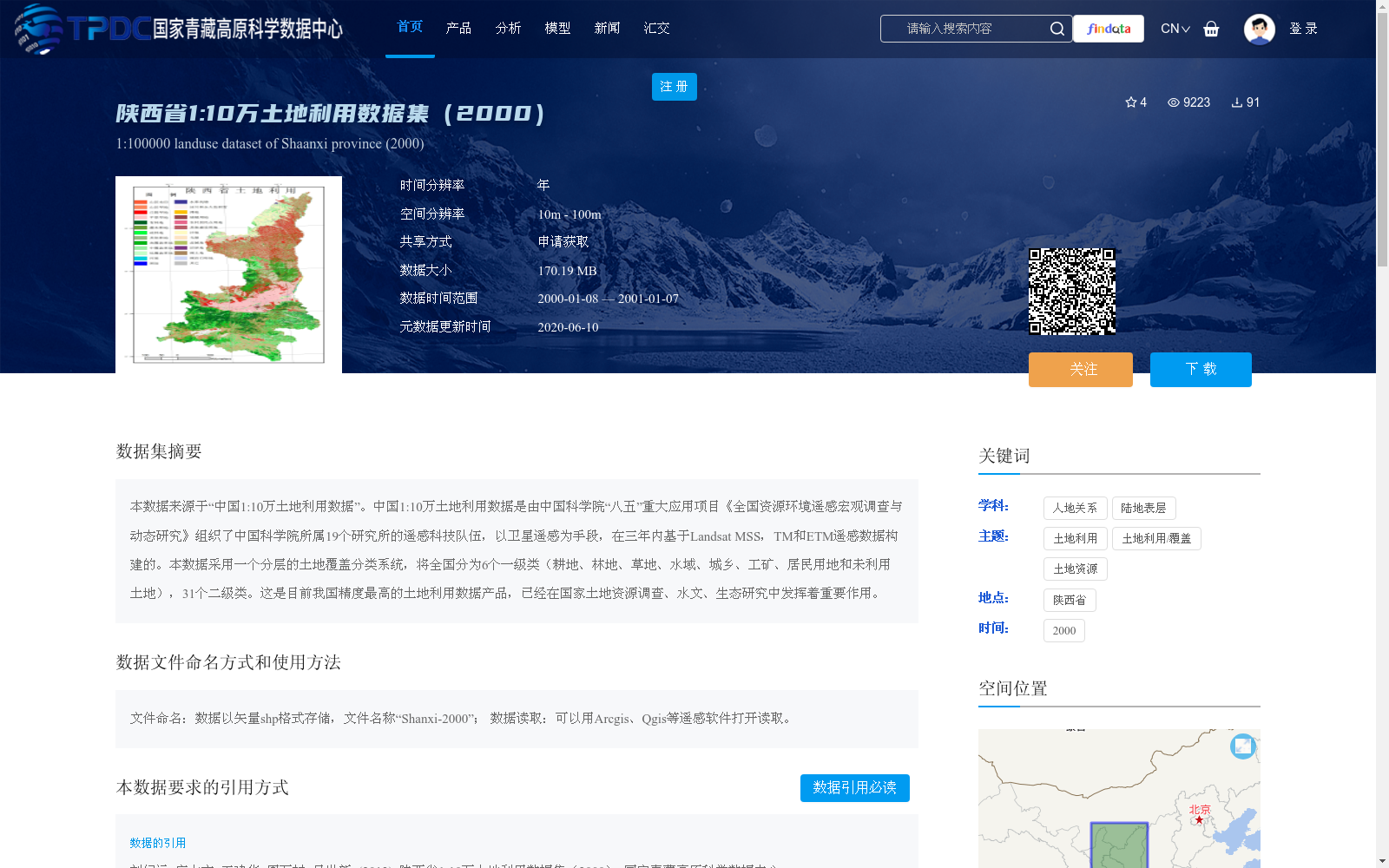
本数据来源于“中国1:10万土地利用数据”。中国1:10万土地利用数据是由中国科学院“八五”重大应用项目《全国资源环境遥感宏观调查与动态研究》组织了中国科学院所属19个研究所的遥感科技队伍,以卫星遥感为手段,在三年内基于Landsat MSS,TM和ETM遥感数据构建的。本数据采用一个分层的土地覆盖分类系统,将全国分为6个一级类(耕地、林地、草地、水域、城乡、工矿、居民用地和未利用土地),31个二级类。这是目前我国精度最高的土地利用数据产品,已经在国家土地资源调查、水文、生态研究中发挥着重要作用。
This dataset is derived from the *China 1:100,000-scale Land Use Dataset*. The dataset was developed over three years by remote sensing research teams from 19 affiliated institutes of the Chinese Academy of Sciences (CAS), as part of the major applied project *National Macro Remote Sensing Survey and Dynamic Research on Resources and Environment* during the CAS Eighth Five-Year Plan period, using satellite remote sensing technologies and based on Landsat MSS, TM, and ETM remote sensing data. This dataset adopts a hierarchical land cover classification system, which divides the entire country into 6 first-level categories (cultivated land, forest land, grassland, water area, urban-rural industrial and mining residential land, and unused land) and 31 second-level categories. This is currently the most accurate land use data product in China, and it has played a critical role in national land resource surveys, hydrological and ecological research.
提供机构:
刘纪远,庄大方,王建华,周万村,吴世新
创建时间:
2013-06-20
搜集汇总
数据集介绍
背景与挑战
背景概述
该数据集是2000年陕西省的1:10万土地利用矢量数据,来源于中国科学院基于Landsat遥感数据构建的全国土地利用数据,采用分层分类系统(包括6个一级类和31个二级类),具有高精度,已广泛应用于土地资源调查、水文和生态研究。数据空间分辨率为10m-100m,以shp格式存储,需通过申请获取,并需在引用时注明来源。
以上内容由遇见数据集搜集并总结生成


