DJI
收藏资源简介:
STR Drones: DJI热成像校准数据集是由STR Drones提供的一个精选数据集,专门包含使用DJI Enterprise系列传感器捕获的原始辐射热成像图像。该数据集旨在服务于需要开发、测试和校准能够读取DJI专有辐射元数据的后处理软件的开发者、研究人员和遥感专业人员。数据集覆盖多款DJI平台和传感器型号,包括Matrice & Zenmuse系列(如Zenmuse H30T、H20T、H20N、Matrice 30T)、Mavic系列(如Mavic 4 Thermal、Mavic 3 Thermal、Mavic 2 Enterprise Advanced)、Dock系列(Matrice 3TD)以及一些传统/协作传感器(如Zenmuse XT2、XT S、XT R)。图像主要为JPEG格式(部分为.RJPG),分辨率因型号而异(例如H30T为1280x1024,多数其他型号为640x512)。元数据方面,不同型号支持的可修改辐射参数数量不同(标准为4个:物体距离、发射率、相对湿度、反射温度;较新的H30T/M4T支持第5个参数:环境温度),部分型号的辐射数据存储在加密的专有结构中,需要使用DJI原生库(如DJI Thermal SDK v1.8)进行解密和映射,而另一些型号的元数据可通过EXIF直接读取。数据集生成时使用了ExifTool version 13.59进行元数据和遥测提取。为了保护隐私,所有GPS坐标、海拔数据和位置特定的元数据都已被有意剥离或禁用,确保了地理匿名性。数据集按相机型号组织文件夹结构,每个文件夹内包含原始图像文件以及对应的元数据文件:EXIF元数据(.json格式)和DJI Thermal SDK元数据(.json格式)。
STR Drones: DJI Thermal Calibration Dataset is a curated dataset provided by STR Drones, specifically containing raw radiometric thermal imaging images captured using DJI Enterprise series sensors. The dataset is designed to serve developers, researchers, and remote sensing professionals who need to develop, test, and calibrate post-processing software capable of reading DJI proprietary radiometric metadata. It covers multiple DJI platforms and sensor models, including the Matrice & Zenmuse series (e.g., Zenmuse H30T, H20T, H20N, Matrice 30T), Mavic series (e.g., Mavic 4 Thermal, Mavic 3 Thermal, Mavic 2 Enterprise Advanced), Dock series (Matrice 3TD), and some legacy/collaborative sensors (e.g., Zenmuse XT2, XT S, XT R). The images are primarily in JPEG format (some in .RJPG), with resolutions varying by model (e.g., H30T at 1280x1024, most other models at 640x512). In terms of metadata, different models support varying numbers of modifiable radiometric parameters (standard is 4: object distance, emissivity, relative humidity, reflected temperature; newer H30T/M4T support a 5th parameter: ambient temperature). Some models store radiometric data in encrypted proprietary structures, requiring decryption and mapping using DJI native libraries (e.g., DJI Thermal SDK v1.8), while others allow metadata to be read directly via EXIF. The dataset was generated using ExifTool version 13.59 for metadata and telemetry extraction. To protect privacy, all GPS coordinates, altitude data, and location-specific metadata have been intentionally stripped or disabled, ensuring geographic anonymity. The dataset is organized in folder structures by camera model, with each folder containing raw image files and corresponding metadata files: EXIF metadata (.json format) and DJI Thermal SDK metadata (.json format).
数据集概述:STR Drones DJI Thermal Calibration Dataset
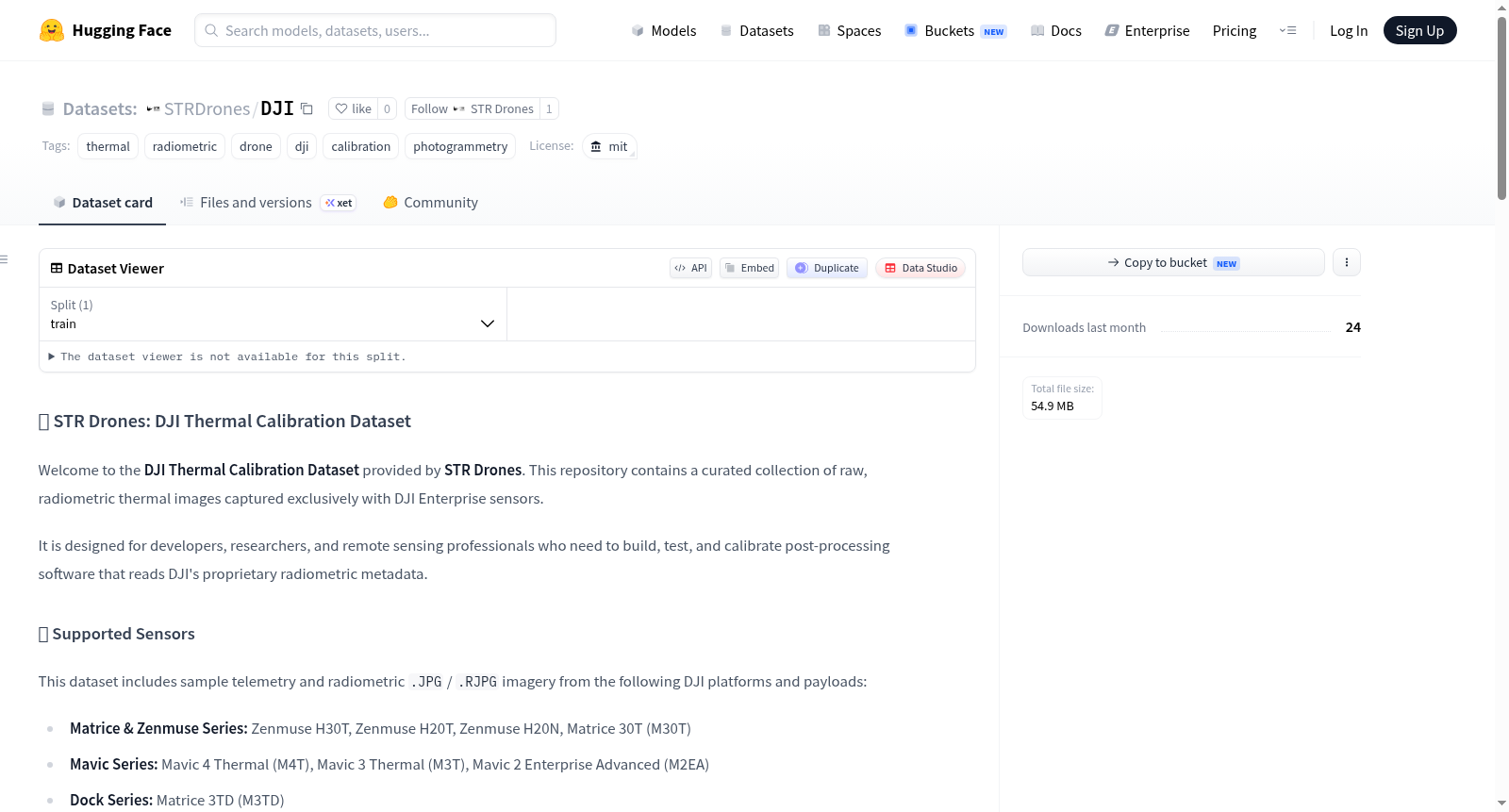
该数据集由 STR Drones 提供,专注于收录来自 DJI 企业级传感器的原始辐射热成像图像,旨在为开发者、研究人员和遥感专业人员构建、测试和校准能够读取 DJI 专有辐射元数据的后处理软件提供支持。
支持传感器
数据集涵盖了以下 DJI 平台及负载设备采集的遥测和辐射 .JPG / .RJPG 图像样本:
- Matrice & Zenmuse 系列: Zenmuse H30T、Zenmuse H20T、Zenmuse H20N、Matrice 30T (M30T)
- Mavic 系列: Mavic 4 Thermal (M4T)、Mavic 3 Thermal (M3T)、Mavic 2 Enterprise Advanced (M2EA)
- Dock 系列: Matrice 3TD (M3TD)
- 旧款/合作传感器: Zenmuse XT2、Zenmuse XT S、Zenmuse XT R
技术与辐射规格
下表详细列出了各相机型号的成像规格、文件类型及元数据支持情况:
| 相机型号 | 分辨率 (宽 x 高) | 文件类型 | 可修改参数 | EXIF 可读 | DJI SDK 可读 |
|---|---|---|---|---|---|
| DJI H30T | 1280 x 1024 | JPEG | 5 | ❌ | dji_thermal_sdk_v1.8 |
| DJI M4T | 640 x 512 | JPEG | 5 | ❌ | dji_thermal_sdk_v1.8 |
| DJI M3TD | 640 x 512 | JPEG | 4 | ❌ | dji_thermal_sdk_v1.8 |
| DJI M30T | 640 x 512 | JPEG | 4 | ✅ | -- |
| DJI H20T | 640 x 512 | JPEG | 4 | ✅ | -- |
| DJI H20N | 640 x 512 | JPEG | 4 | ✅ | -- |
| DJI M3T | 640 x 512 | JPEG | 4 | ✅ | -- |
| DJI M2EA | 640 x 512 | JPEG | 4 | ✅ | -- |
| DJI XTS | 640 x 512 | JPEG | 4 | ✅ | -- |
技术备注:
- 可修改参数: 标准4个参数为:
Object Distance(目标距离)、Emissivity(发射率)、Relative Humidity(相对湿度)、Reflected Temperature(反射温度)。较新型号(H30T/M4T)额外支持第5个参数:Ambient Temperature(环境温度)。旧款 DJI 型号包含此参数,但默认值为 25ºC。 - EXIF 兼容性: 标记为 ❌ 的型号将热数据存储在加密的专有结构中,需要通过 DJI 原生库进行特定的解密/映射。
- 元数据版本: 所有元数据和遥测提取均使用 ExifTool 13.59 版本完成。
数据集结构
数据集按相机型号进行组织。每个文件夹内包含原始图像及对应的元数据文件:
- EXIF 元数据:以
.json格式提供 - DJI 热 SDK 元数据:以
.json格式提供
隐私与数据保护
所有 GPS 坐标、海拔数据和位置的特定元数据均已被有意移除或禁用,以确保地理匿名性,同时不影响核心的辐射遥测数据。