东南亚国家及澜湄流域水资源模拟数据(1980-2019)
收藏国家青藏高原科学数据中心2022-08-16 更新2024-03-01 收录
下载链接:
https://data.tpdc.ac.cn/zh-hans/data/9a8cbf24-7d2b-4a2f-b1a1-6bb38e1cdac4
下载链接
链接失效反馈官方服务:
资源简介:
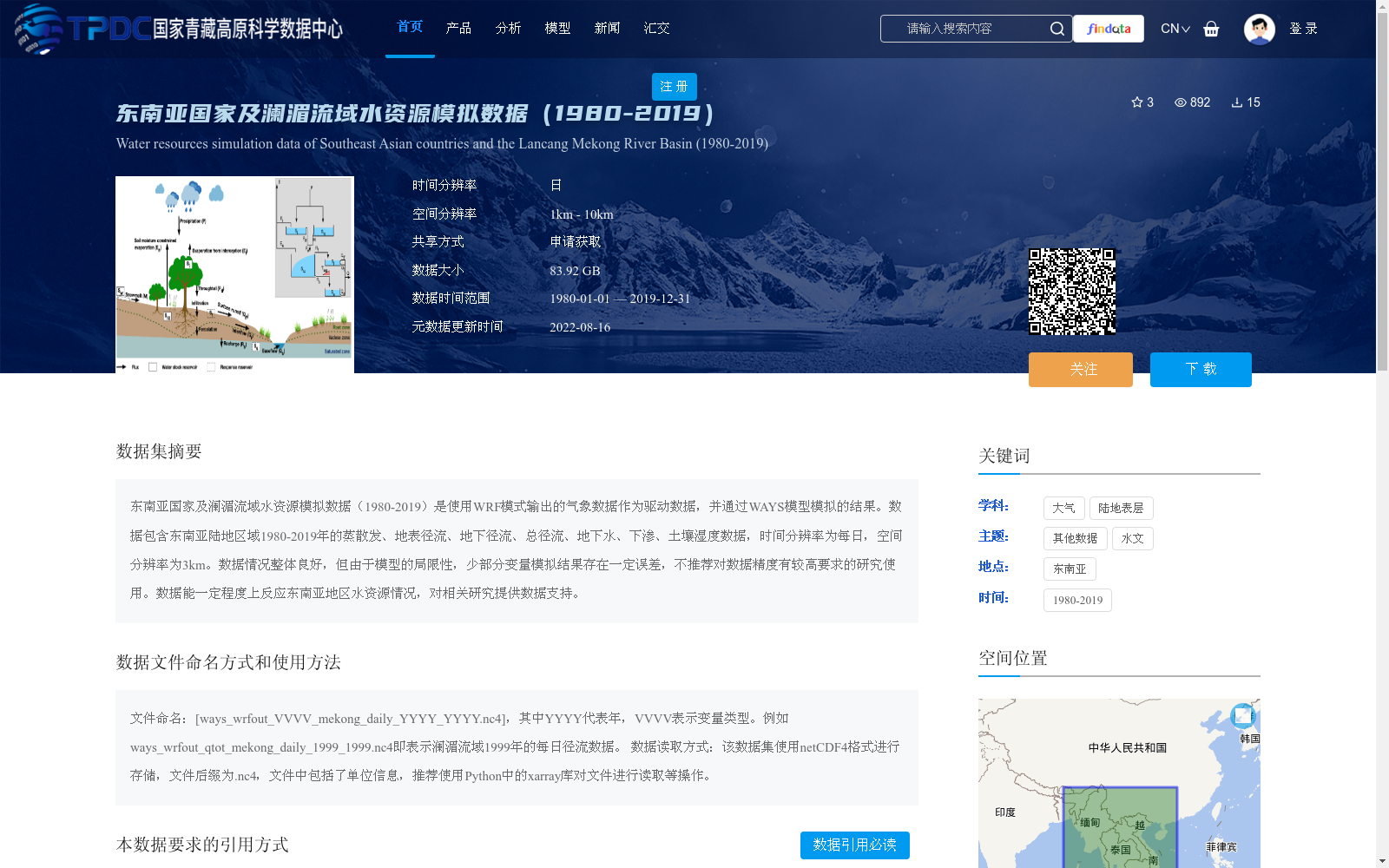
东南亚国家及澜湄流域水资源模拟数据(1980-2019)是使用WRF模式输出的气象数据作为驱动数据,并通过WAYS模型模拟的结果。数据包含东南亚陆地区域1980-2019年的蒸散发、地表径流、地下径流、总径流、地下水、下渗、土壤湿度数据,时间分辨率为每日,空间分辨率为3km。数据情况整体良好,但由于模型的局限性,少部分变量模拟结果存在一定误差,不推荐对数据精度有较高要求的研究使用。数据能一定程度上反应东南亚地区水资源情况,对相关研究提供数据支持。
Southeast Asian Countries and Lancang-Mekong River Basin Water Resource Simulation Dataset (1980–2019) was simulated using the WAYS model, driven by meteorological data output from the WRF model. The dataset includes evapotranspiration, surface runoff, subsurface runoff, total runoff, groundwater, infiltration, and soil moisture data for terrestrial areas of Southeast Asia from 1980 to 2019, with a daily temporal resolution and 3 km spatial resolution. Overall, the dataset is generally in good condition. However, due to the inherent limitations of the model, some simulation results of certain variables have minor errors, so it is not recommended for studies with strict requirements for data accuracy. This dataset can reflect the water resource status of Southeast Asia to a certain extent, providing valuable data support for relevant research.
提供机构:
刘俊国
创建时间:
2022-08-09
搜集汇总
数据集介绍
背景与挑战
背景概述
该数据集是使用WRF模式气象数据驱动WAYS模型模拟生成的东南亚国家及澜湄流域水资源数据,覆盖1980年至2019年,包含蒸散发、径流、地下水、土壤湿度等关键水文变量,时间分辨率为每日,空间分辨率为3km。数据整体质量良好,但由于模型局限性存在一定误差,适用于对精度要求不高的区域水资源研究,为相关领域提供基础数据支持。
以上内容由遇见数据集搜集并总结生成


